2010s Maps of Scott County, Virginia
Explore 80 historic maps of Scott County from the 2010s. These maps offer a rare glimpse into what life looked like during the 2010s — showing old roads, neighborhoods, homes, and landmarks that have changed or disappeared over time.
Whether you're researching your family's past, planning a metal detecting trip, or studying how Scott County's landscape evolved across the 2010s, these high-resolution maps are a powerful tool for exploring the history of this region.
- Focus on a specific era: All maps on this page are from the 2010s, giving you a focused view of this time period.
- See what’s changed: Compare century-old streets, trails, and buildings to today's modern landscape using overlays and satellite layers.
- Research with precision: Use these maps for genealogy, historical research, land use analysis, or educational projects.
- View, download, or print: Maps are fully viewable online in high resolution, and can be downloaded or printed for your own records.
Start exploring Scott County's history through authentic maps from the 2010s. This is your window into the past.
Scott County, VA maps
(80)- 2010 Map of Looneys Gap, 2010 Print
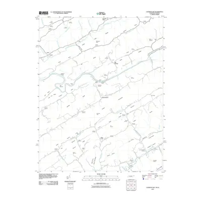 2010 Looneys Gap2010 Print · USGSThe Tennessee-Virginia borderlands are captured here at the turn of the 21st century, showing a landscape defined by the winding Clinch River and ridge-and-valley terrain. Genealogists can trace deep local roots at Moneyhun Cemetery, Jennings Store, and river crossings like Tigners Ford.
 - 2010 Map of Mendota, 2010 Print
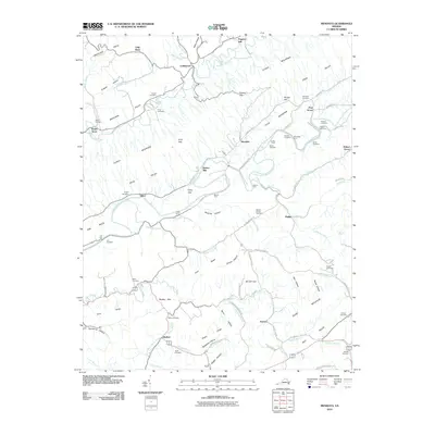 2010 Mendota2010 Print · USGSWestern Washington County appears here in the early twenty-first century, showing the enduring rural character of the valleys flanking Clinch Mountain. Researchers can trace local heritage through dozens of family landmarks like Barker Mill, Deans Store, and the Sutton and Price cemeteries.
 - 2010 Map of Plum Grove, 2010 Print
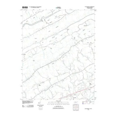 2010 Plum Grove2010 Print · USGSNortheastern Tennessee at the dawn of the 2010s reveals a landscape defined by the parallel ridges of Clinch Mountain. Genealogists and local historians can trace the rural road networks connecting New Canton, Greenland, and the historic crossing at Hord Ford.
 - 2010 Map of Indian Springs, 2010 Print
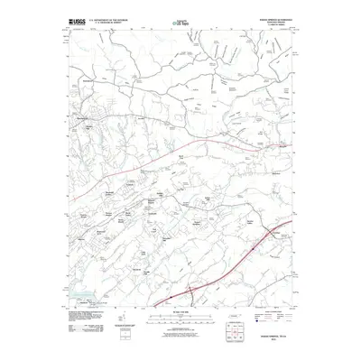 2010 Indian Springs2010 Print · USGSSullivan County at the start of the 2010s shows a landscape where suburban neighborhoods and historical homesteads meet. Genealogists can trace family heritage through dozens of sites like Salem Cemetery or Bradley Cemetery, and locate old landmarks like Pettyjohn Mill.
 - 2010 Map of Hiltons, 2010 Print
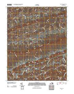 2010 Hiltons2010 Print · USGSScott County in the early twenty-first century remains a landscape of deep valleys and historic river crossings. Genealogists and historians can trace family roots at Blankenbeckler Cemetery and locate early industrial sites like McConnell Mill and Holston River Mill.
 - 2010 Map of Blountville, 2010 Print
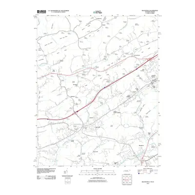 2010 Blountville2010 Print · USGSSullivan County at the dawn of the 2010s reveals a blend of historic settlement and modern landmarks. Researchers can trace family sites from the Blountville Historic District to rural Buncombe and find local landmarks like Thomas Bridge and Bristol International Speedway.
 - 2010 Map of Moll Creek, 2010 Print
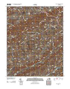 2010 Moll Creek2010 Print · USGSRussell County's ridges and valleys are shown in the early 21st century, revealing an area dense with local family history and rural settlements. Researchers can trace dozens of family burial sites like Saddler Cemetery or find small hamlets like Point Truth and Mew.
 - 2010 Map of Gate City, 2010 Print
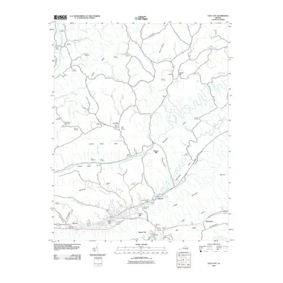 2010 Gate City2010 Print · USGSGate City and the surrounding Appalachian ridges were well-established rural hubs by the early twenty-first century. Researchers can trace family history through dozens of landmarks like Jayne Mill, the Slant Post Office, and the Solon Addington Cemetery.
 - 2010 Map of Stickleyville, 2010 Print
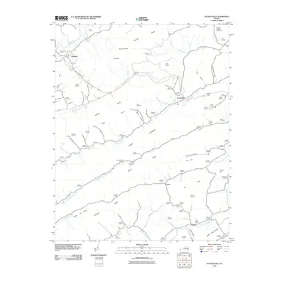 2010 Stickleyville2010 Print · USGSLee County in the early twenty-first century remains a landscape of high ridges and deep family roots. Researchers can trace dozens of ancestral sites like the Gilly-Wells Cemetery and Odd Fellows Cemetery near small centers such as Stickleyville and Woodway.
 - 2010 Map of Church Hill, 2010 Print
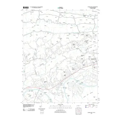 2010 Church Hill2010 Print · USGSThe Holston River valley in East Tennessee was well-developed by the early twenty-first century, showing a landscape defined by river bends and parallel ridges. Genealogists and historians can trace numerous family burial grounds like Price Cemetery and Liberty Hill Cemetery or locate landmarks such as Hord Mill and Silver Lake.
 - 2010 Map of Kingsport, 2010 Print
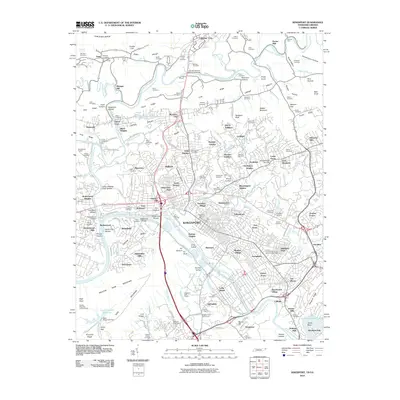 2010 Kingsport2010 Print · USGSKingsport and the surrounding Holston River valleys are shown here at a moment of continued growth and historic preservation. Researchers can trace family history through dozens of local sites like the Old Kingsport Cemetery, Depew Chapel, and Winegar Mill.
 - 2011 Map of Wise, 2011 Print
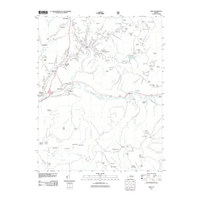 2011 Wise2011 Print · USGSThe town of Wise and the surrounding Virginia mountains are shown here at the start of the 2010s. Genealogists can locate dozens of burial sites like Hamilton Cemetery and Nash Cemetery, or trace landmarks like the Wise Mountain Lookout Tower.
 - 2011 Map of Duffield, 2011 Print
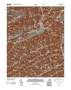 2011 Duffield2011 Print · USGSScott County, Virginia, is documented here in the early twenty-first century as a land of ridges, rivers, and deep-seated family history. Researchers can trace ancestral sites like the Hortons Summit Post Office, Powers Ford, and dozens of family-named cemeteries including McKinney Cemetery.
 - 2011 Map of Big Stone Gap, 2011 Print
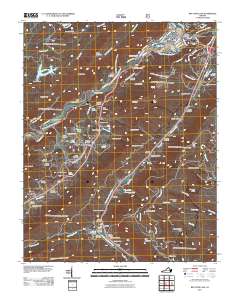 2011 Big Stone Gap2011 Print · USGSBig Stone Gap and the surrounding Wise County ridges are shown here in the early twenty-first century as a land of narrow hollows and numerous family cemeteries. Genealogists and local historians can trace legacy sites like Arbuckle Hill Cemetery, Seminary, and the Hugh Williams Memorial Bridge across the Powell River.
 - 2011 Map of Fort Blackmore, 2011 Print
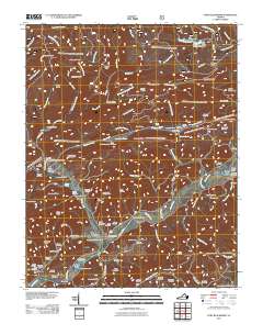 2011 Fort Blackmore2011 Print · USGSFort Blackmore and the Clinch River valley are captured in this modern survey of Scott County. Genealogists and local historians can trace family burial sites like Brickery Cemetery and Ballard Gillenwater Cemetery or locate the Buckner Ridge Lookout Tower.
 - 2011 Map of Norton, 2011 Print
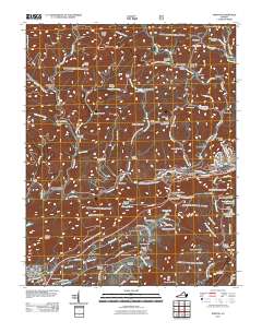 2011 Norton2011 Print · USGSBig Stone Gap and Norton anchor this Virginia mountain landscape at the start of the twenty-first century. Genealogists and researchers can trace family sites at Stidham Cemetery or Wells Cemetery and locate landmarks like the Stonega Lookout Tower.
 - 2011 Map of Coeburn, 2011 Print
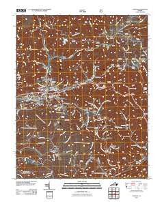 2011 Coeburn2011 Print · USGSWise County's high ridges and coal-country hollows are mapped here during the early twenty-first century. Genealogists and researchers can trace dozens of family cemeteries and industrial landmarks, including the Little Tom Tunnel, Toms Creek Dam, and Stallard Cemetery.
 - 2011 Map of Dungannon, 2011 Print
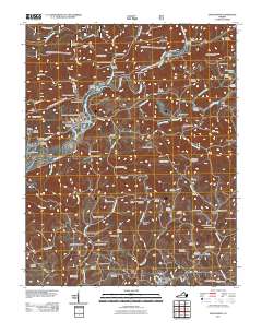 2011 Dungannon2011 Print · USGSScott County’s river-carved landscape is documented here in the early twenty-first century, centered on the Clinch River corridor. Genealogists can trace deep local roots through family sites like the Osborne-Taylor Cemetery and settlements like Nickelsville and Dungannon.
 - 2011 Map of East Stone Gap, 2011 Print
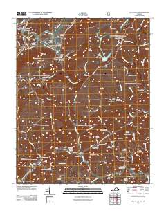 2011 East Stone Gap2011 Print · USGSWise County's river valleys and mountain gaps are captured here during the early twenty-first century. Genealogists can trace family lines through dozens of local burial sites like Gilly Cemetery or visit historic landmarks like Duncan Mill and Mintons Store.
 - 2011 Map of Clinchport, 2011 Print
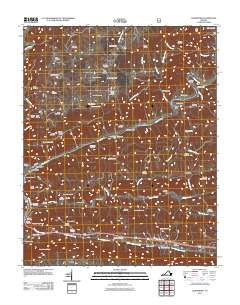 2011 Clinchport2011 Print · USGSScott County's river valleys and rail corridors are meticulously detailed here in the early twenty-first century. Family historians can locate dozens of burial sites like Mitchell Taylor Cemetery and trace local industry through landmarks such as Rhoton Mill and the engineering of the Clinchfield Viaduct.
 - 2013 Map of Plum Grove, 2013 Print
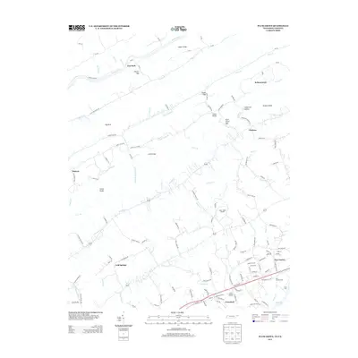 2013 Plum Grove2013 Print · USGSIn the early twenty-first century, the Tennessee-Virginia borderlands remain a landscape of ridge-and-valley farming and small crossroads. Researchers can trace family-named landmarks like Bellamytown and Okolona or locate the historic Hord Ford near New Canton.
 - 2013 Map of Looneys Gap, 2013 Print
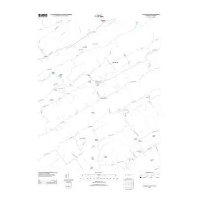 2013 Looneys Gap2013 Print · USGSThe Tennessee and Virginia borderlands come into focus in this recent study of the Clinch River valley. Genealogists and local historians can trace family-named river crossings and settlements like Tigners Ford, Hortons Island, and Snow Flake.
 - 2013 Map of Blountville, 2013 Print
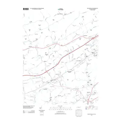 2013 Blountville2013 Print · USGSBlountville and its surrounding ridges are captured in detail during the early 2010s, showing the intersection of deep-rooted history and modern growth. You can locate the Blountville Historic District, trace family names at Graveyard Hill, or see the footprint of the Bristol International Speedway.
 - 2013 Map of Indian Springs, 2013 Print
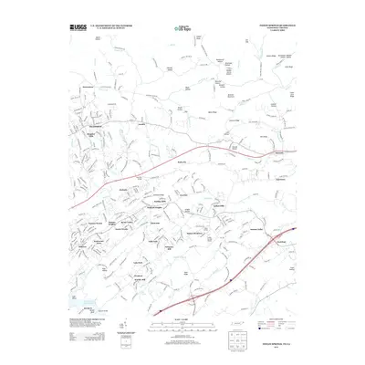 2013 Indian Springs2013 Print · USGSSullivan County, Tennessee, is shown in great detail during the early twenty-first century, revealing a landscape where modern subdivisions meet historic ridges. Genealogists and historians can trace the area's development through named points like Pettyjohn Mill, Harrtown, and Indian Springs Airport.
 - 2013 Map of Church Hill, 2013 Print
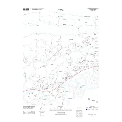 2013 Church Hill2013 Print · USGSThe Holston River valley in Sullivan County comes into focus in the early 2010s, showing the suburban expansion of Church Hill and Mount Carmel. Researchers can locate family landmarks like Sensabaugh Tunnel, Hord Mill, and the riverside Darnell's Field Airport.
Showing maps 1-25 of 80
Top cities of Scott County
- Gate City historical maps
- Weber City historical maps
- Nickelsville historical maps
- Hiltons historical maps
- Dungannon historical maps
- Duffield historical maps
See more
Frequently asked questions
- What are the different types of historical maps available for Scott County?
- What is the oldest map of Scott County?
- Where can I purchase historical maps of Scott County for my home or office?
- Where can I download high-res historical maps of Scott County?
- Are there historical topographic maps available for Scott County?
- Is there historical aerial imagery available for Scott County?
- Where are historical maps of Scott County sourced from?