2010s Maps of Southampton County, Virginia
Explore 76 historic maps of Southampton County from the 2010s. These maps offer a rare glimpse into what life looked like during the 2010s — showing old roads, neighborhoods, homes, and landmarks that have changed or disappeared over time.
Whether you're researching your family's past, planning a metal detecting trip, or studying how Southampton County's landscape evolved across the 2010s, these high-resolution maps are a powerful tool for exploring the history of this region.
- Focus on a specific era: All maps on this page are from the 2010s, giving you a focused view of this time period.
- See what’s changed: Compare century-old streets, trails, and buildings to today's modern landscape using overlays and satellite layers.
- Research with precision: Use these maps for genealogy, historical research, land use analysis, or educational projects.
- View, download, or print: Maps are fully viewable online in high resolution, and can be downloaded or printed for your own records.
Start exploring Southampton County's history through authentic maps from the 2010s. This is your window into the past.
Southampton County, VA maps
(76)- 2010 Map of Zuni, 2010 Print
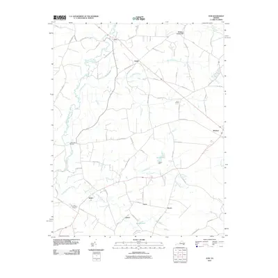 2010 Zuni2010 Print · USGSThis part of the Virginia coastal plain is shown at the start of the 2000s, centered on the wetlands of the Blackwater River. Researchers can trace old community lines and landmarks like Antioch Cemetery, State Prison Camp Number 3, and the settlement of Zuni.
 - 2010 Map of Raynor, 2010 Print
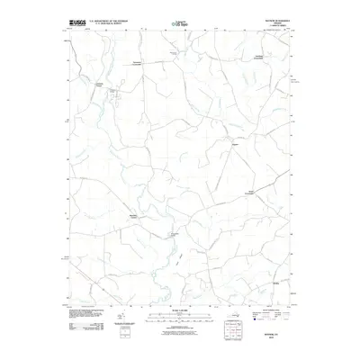 2010 Raynor2010 Print · USGSCoastal plain wetlands and rural junctions define this Isle of Wight County landscape in the early twenty-first century. Researchers can trace the winding Blackwater River and locate historic markers like Mill Swamp Cemetery and the village of Raynor.
 - 2010 Map of Riverdale, 2010 Print
 2010 Riverdale2010 Print · USGSThe Virginia and North Carolina borderlands come alive in this map of the river-heavy terrain around the Chowan and Nottoway rivers. Genealogists and historians can trace numerous riverfront landmarks and small settlements like Riddicksville, Cobbs Wharf, and Wyanoke.
 - 2010 Map of Sedley, 2010 Print
 2010 Sedley2010 Print · USGSSoutheastern Virginia at the start of the 2010s remains a landscape of rural crossroads and extensive wetlands. Genealogists and local researchers can trace the vicinity of Sedley and Berlin, locating features like Whitefields Millpond, Pulleys Crossroads, and the Blackwater River.
 - 2010 Map of Franklin, 2010 Print
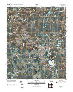 2010 Franklin2010 Print · USGSFranklin and the surrounding Tidewater area are shown in detail during the early twenty-first century as the city expanded northward toward Hunterdale. Genealogists and local historians can trace family-named sites and landmarks like Lees Mill, Watkins Corner, and Poplar Springs Cemetery.
 - 2010 Map of Ivor, 2010 Print
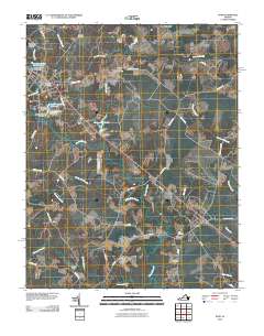 2010 Ivor2010 Print · USGSCoastal plain settlements and low-lying swamps define this Sussex County landscape in the early twenty-first century. Genealogists can locate family-named landmarks and burial sites such as Spratley Cemetery, Stephenson Cemetery, and the historic Freemans Millpond.
 - 2010 Map of Yale, 2010 Print
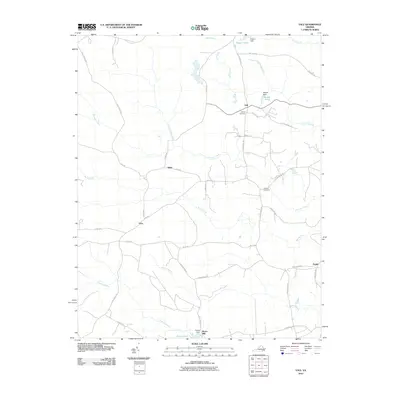 2010 Yale2010 Print · USGSSouthampton County during the early 2010s maintained its rural character across a landscape of swamps and crossroads settlements. Genealogists can locate Rivers Mill and family burial sites like Calvary Cemetery and Antioch Cemetery.
 - 2010 Map of Boykins, 2010 Print
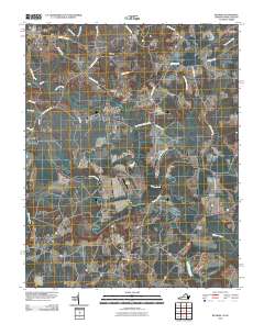 2010 Boykins2010 Print · USGSThe Virginia and North Carolina borderlands come to life in this detailed 2010 study. Genealogists and historians can trace family-named routes and community centers like Beechwood Cemetery, Boykins, and the rural settlement of Shiloh.
 - 2010 Map of Margarettsville, 2010 Print
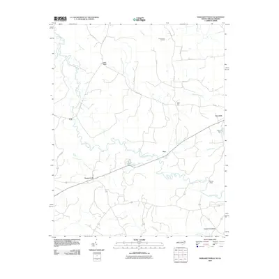 2010 Margarettsville2010 Print · USGSThe North Carolina and Virginia border comes alive in this 2010 study of the rural coastal plain. Genealogists and local historians can trace family-named sites and small communities from Margarettsville to Branchville, while locating landmarks like Southampton Speedway and Bishop Dam.
 - 2010 Map of Sebrell, 2010 Print
 2010 Sebrell2010 Print · USGSSouthampton County, Virginia, maintains its quiet agricultural character in the early twenty-first century as the Nottoway River winds through the coastal plain. Genealogists can locate family landmarks such as Hickory Hill Cemetery and trace crossings like Careys Bridge.
 - 2010 Map of Adams Grove, 2010 Print
 2010 Adams Grove2010 Print · USGSSouthampton County’s rural wetlands and small settlements are preserved here in the early twenty-first century. Researchers can trace family-named sites like Green Plain and Grizzard, or locate historic burials at the Pleasant Grove Cemetery near Adams Grove.
 - 2010 Map of Capron, 2010 Print
 2010 Capron2010 Print · USGSSouthampton County at the start of the 2010s reveals a rural landscape defined by ancient swamp drainages and small agricultural hubs. Genealogists and local historians can trace the grounds of Newsoms, locate the Capron Cemetery, or find family sites near Angelico.
 - 2010 Map of Drewryville, 2010 Print
 2010 Drewryville2010 Print · USGSCoastal plain settlements in Southampton County are shown here at the turn of the millennium, characterized by a complex network of wetlands and rural homesteads. Genealogists and historians can trace local landmarks like Pleasant Plain Memorial Cemetery and the winding course of Three Creek and the Meherrin River.
 - 2010 Map of Claresville, 2010 Print
 2010 Claresville2010 Print · USGSThe Virginia-North Carolina borderlands near the turn of the twenty-first century reveal a landscape of managed waterways and rural crossroads. Local historians can trace the network of creek-side roads and settlements like Claresville, Bryants Corner, and Turners Crossroads.
 - 2010 Map of Vicksville, 2010 Print
 2010 Vicksville2010 Print · USGSSouthampton County at the start of the 21st century remains a landscape of deep swamps and rural crossroads. Local historians can trace family-named sites like Darden Millpond and Darden Camp or old routes through Vicksville and Dory.
 - 2010 Map of Manry, 2010 Print
 2010 Manry2010 Print · USGSCoastal plain wetlands and rural settlements define this part of Virginia in the early twenty-first century. Genealogists and local historians can trace family-named landmarks and community sites like Elam Cemetery, Cashs Corner, and Airfield Pond.
 - 2010 Map of Emporia, 2010 Print
 2010 Emporia2010 Print · USGSEmporia and its surrounding Southside Virginia neighborhoods are documented here during a period of steady modern growth. Researchers can locate specific family landmarks such as Southern Grove Farms and old burial grounds like Round Hill Cemetery and Cottage Cemetery.
 - 2010 Map of Courtland, 2010 Print
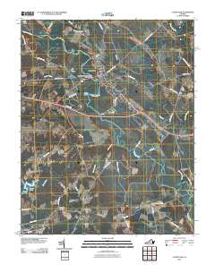 2010 Courtland2010 Print · USGSCoastal plain settlements and river crossings define this Southampton County corridor in the early twenty-first century. Genealogists and local historians can locate the Handsom Post Office, trace family roots near Mount Table Cemetery, or follow the Nottoway River to Devils Elbow.
 - 2010 Map of Sunbeam, 2010 Print
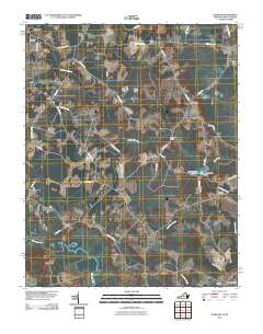 2010 Sunbeam2010 Print · USGSCoastal plain settlements on the Virginia-North Carolina border are captured here at the start of the 2010s. Genealogists and local historians can trace family locations near Newsoms, Hollywood Cemetery, and the Como Post Office along the Meherrin River.
 - 2013 Map of Margarettsville, 2013 Print
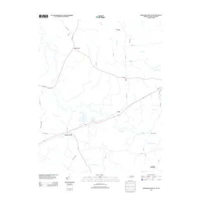 2013 Margarettsville2013 Print · USGSThe North Carolina and Virginia borderlands are revealed in this modern survey, showing a landscape defined by the winding Meherrin River. Genealogists and local historians can trace family-named routes and small communities like Margarettsville, Little Texas, and White Head Hall.
 - 2013 Map of Vicksville, 2013 Print
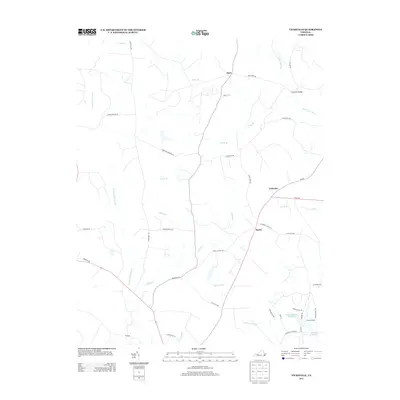 2013 Vicksville2013 Print · USGSSouthampton County’s rural crossroads and expansive wetlands are preserved in this study of the early twenty-first century landscape. Genealogists and local historians can trace family-named landmarks like Colgate Darden Millpond and settlements such as Vicksville and Beales.
 - 2013 Map of Boykins, 2013 Print
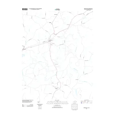 2013 Boykins2013 Print · USGSThe Virginia and North Carolina border comes into focus in this recent survey of the Meherrin River basin. Genealogists and local historians can trace the road networks around Boykins, Branchville, and Severn, or find old landmarks like Number 8 Schoolhouse Rd.
 - 2013 Map of Sunbeam, 2013 Print
 2013 Sunbeam2013 Print · USGSThe Virginia and North Carolina borderlands come into focus in the early twenty-first century, showing a landscape of rural crossroads and river bottoms. Genealogists and local historians can trace family locations near Newsoms, Statesville, and the waters of Windbourne Mill Pond.
 - 2013 Map of Courtland, 2013 Print
 2013 Courtland2013 Print · USGSCourtland and the Southampton County countryside are shown here in the early twenty-first century as the local landscape remains defined by the winding Nottoway River. Genealogists and local historians can trace family-named sites and rural settlements like Handsom, Gum, and Devils Elbow.
 - 2013 Map of Sebrell, 2013 Print
 2013 Sebrell2013 Print · USGSSebrell and the surrounding Southampton County wetlands are captured here in the early twenty-first century as the landscape remains defined by its watercourses. Researchers can trace historical crossings at Peters Bridge and Crichton Bridge or locate family lands near Hunting Quarter Swamp and Buckhorn Swamp.
Showing maps 1-25 of 76
Top cities of Southampton County
- Courtland historical maps
- Boykins historical maps
- Sedley historical maps
- Ivor historical maps
- Newsoms historical maps
- Capron historical maps
See more
Frequently asked questions
- What are the different types of historical maps available for Southampton County?
- What is the oldest map of Southampton County?
- Where can I purchase historical maps of Southampton County for my home or office?
- Where can I download high-res historical maps of Southampton County?
- Are there historical topographic maps available for Southampton County?
- Is there historical aerial imagery available for Southampton County?
- Where are historical maps of Southampton County sourced from?