1960s Maps of Spotsylvania County, Virginia
Explore 20 historic maps of Spotsylvania County from the 1960s. These maps offer a rare glimpse into what life looked like during the 1960s — showing old roads, neighborhoods, homes, and landmarks that have changed or disappeared over time.
Whether you're researching your family's past, planning a metal detecting trip, or studying how Spotsylvania County's landscape evolved across the 1960s, these high-resolution maps are a powerful tool for exploring the history of this region.
- Focus on a specific era: All maps on this page are from the 1960s, giving you a focused view of this time period.
- See what’s changed: Compare century-old streets, trails, and buildings to today's modern landscape using overlays and satellite layers.
- Research with precision: Use these maps for genealogy, historical research, land use analysis, or educational projects.
- View, download, or print: Maps are fully viewable online in high resolution, and can be downloaded or printed for your own records.
Start exploring Spotsylvania County's history through authentic maps from the 1960s. This is your window into the past.
Spotsylvania County, VA maps
(20)- 1961 Map of Washington
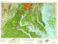 1961 Washington1961 Print · USGSThe mid-Atlantic region in the late fifties is presented in remarkable detail, from the Blue Ridge foothills to the Chesapeake Eastern Shore. Researchers can trace historic river landings and military sites like Mount Vernon, Fort Belvoir, and Point Lookout.2 unique versions available
 - 1964 Map of Rappahannock Academy
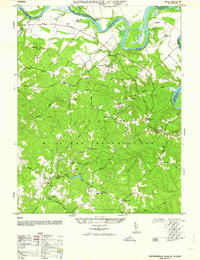 1964 Rappahannock Academy1964 Print · USGSCaroline County and the Rappahannock River front are captured mid-century as military training grounds expanded alongside historic Virginia estates. Genealogists and historians can trace old homesteads and landmarks like Moss Neck Manor, Rappahannock Academy, and Bethesda Church.
 - 1964 Map of Richmond
 1964 Richmond1964 Print · USGSCoastal and central Virginia are mapped during the mid-twentieth century, showing the critical intersection of rail, river, and military life. Genealogists can trace family roots through rural county seats like Amelia or find vanished coastal neighborhoods near Phoebus and Hilton Village.
 - 1966 Map of Partlow, 1967 Print
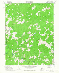 1966 Partlow1967 Print · USGSSpotsylvania County is mapped here in the mid-sixties, showing a landscape defined by the North Anna River and traditional crossroads. Genealogists can trace early families through sites like Wallers Ch, Livingston Sch, and Penneys Crossroad.
 - 1966 Map of Belmont, 1967 Print
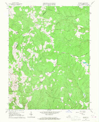 1966 Belmont1967 Print · USGSMid-century central Virginia comes into focus across the Orange and Spotsylvania county lines during the late sixties. Genealogists and local historians can trace family-named sites like Bells Crossroad, Richards Shop, and several country churches including Craigs Ch.4 unique versions available
 - 1966 Map of Spotsylvania, 1968 Print
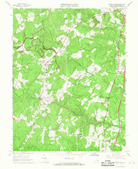 1966 Spotsylvania1968 Print · USGSThe hallowed ground of central Virginia is preserved here in the mid-1960s, showing the intersection of Civil War history and rural development. Researchers can trace historic defensive lines at the Bloody Angle and find local landmarks like Smiths Mill or the Confederate Cem.4 unique versions available
 - 1966 Map of Salem Church, 1968 Print
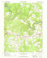 1966 Salem Church1968 Print · USGSSpotsylvania County is captured in the mid-1960s as suburban growth began to meet its deep Civil War history. Researchers can trace rural church locations like Zoan Ch, find the Spotswood Furnace Ruins, and map the extent of Fivemile Fork.5 unique versions available
 - 1966 Map of Brokenburg, 1968 Print
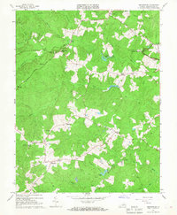 1966 Brokenburg1968 Print · USGSSpotsylvania County is shown in the mid-1960s, capturing the rural intersections and hallowed ground of the National Military Park. Researchers can trace Civil War landmarks like Battle Trench and old crossroads at Todds Tavern and Brokenburg.3 unique versions available
 - 1966 Map of Guinea, 1968 Print
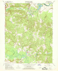 1966 Guinea1968 Print · USGSSpotsylvania and Caroline counties in the mid-1960s were defined by a network of rural rail stops and Civil War memory. Genealogists and historians can locate old rural centers like Guinea and Massaponax, or trace families near Jackson Shrine and Hopewell Ch.4 unique versions available
 - 1966 Map of Ladysmith, 1968 Print
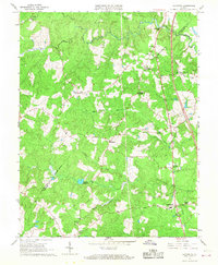 1966 Ladysmith1968 Print · USGSThe rural Virginia interior comes into focus during the mid-sixties as the county lines of Caroline and Spotsylvania meet among tangled river forks. Genealogists can trace family footprints at Nancy Wrights Corner, Blades Corner, and historic congregations like Wrights Chapel.4 unique versions available
 - 1966 Map of Chancellorsville, 1968 Print
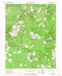 1966 Chancellorsville1968 Print · USGSSpotsylvania County is shown here in the mid-sixties, where the preserved Civil War battlefields meet the quiet rural life of the Virginia Piedmont. Genealogists and historians can locate markers like Hamiltons Thicket, the Jackson Furnace ruins, and family-named landmarks such as Elys Ford.
 - 1966 Map of Fredericksburg, 1968 Print
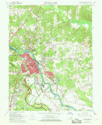 1966 Fredericksburg1968 Print · USGSFredericksburg and the Rappahannock River valley are captured here during the mid-sixties, showing the city's growth alongside its preserved Civil War sites. Genealogists and historians can trace family locations near Hulks Chapel, Monfort Academy, and the Fredericksburg Battlefield.5 unique versions available
 - 1968 Map of Richardsville, 1970 Print
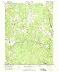 1968 Richardsville1970 Print · USGSUpper Piedmont life in the late sixties is centered around the confluence of the Rappahannock River and Rapidan River. Genealogists and local historians can locate rural landmarks such as Goldvein, Richardsville, and Clevers Oak Ch.3 unique versions available
 - 1968 Map of Contrary Creek, 1970 Print
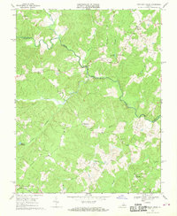 1968 Contrary Creek1970 Print · USGSThe North Anna River valley at the border of Louisa and Spotsylvania Counties appears here in the late sixties as a landscape of rural crossroads and millponds. Genealogists can locate family landmarks like Bethel Ch, Whitlock Millpond, and several unnamed cemeteries near Glenora.
 - 1968 Map of Lahore, 1971 Print
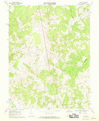 1968 Lahore1971 Print · USGSCentral Virginia's rural landscape is captured here in the late sixties at the meeting point of Orange, Spotsylvania, and Louisa counties. Genealogists can trace the locations of family landmarks and community centers like Lightfoot Sch, Bethel Ch, and the settlement of Lahore.3 unique versions available
 - 1969 Map of Woodford, 1970 Print
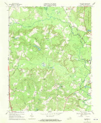 1969 Woodford1970 Print · USGSCaroline County in the late sixties reveals a landscape of river-fork settlements and rail-dependent crossroads like Woodford and Milford. Genealogists and historians can trace the foundations of rural life at Old Wright Cem, Lebanon Tabernacle, and Madison Sch.3 unique versions available
 - 1969 Map of Beaverdam, 1971 Print
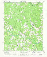 1969 Beaverdam1971 Print · USGSHanover and Louisa counties were still deeply rural during the late sixties, centered on the railroad and river systems. Genealogists can locate many family burial grounds and historic community hubs like Beaverdam Sch, St Thomas Ch, and Old Bandana.3 unique versions available
 - 1969 Map of Mine Run, 1971 Print
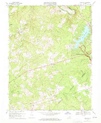 1969 Mine Run1971 Print · USGSOrange County's rural crossroads and Civil War legacy are documented here during a period of modern growth in the late sixties. Researchers can trace the Wilderness Battlefield and locate old landmarks like Gold Dale or Mt Zion Ch.3 unique versions available
 - 1969 Map of Mineral, 1971 Print
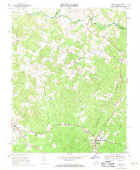 1969 Mineral1971 Print · USGSThe Piedmont landscape of Louisa County comes into focus in the late sixties, showcasing the rail-connected hubs of Mineral and Louisa. Researchers can trace the path of the Chesapeake and Ohio or locate rural landmarks like Dickinson Store and Enon Ch.5 unique versions available
 - 1969 Map of Rappahannock Academy, 1971 Print
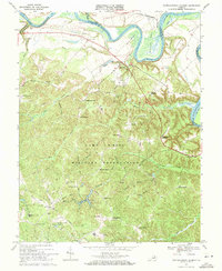 1969 Rappahannock Academy1971 Print · USGSCaroline County during the late sixties shows a landscape of river landings and military training grounds. Genealogists can locate family-named hubs like Pullers Corner and Samuels Corner or historic sites like Rappahannock Academy.3 unique versions available
End of results
Showing maps 1-20 of 20
Top cities of Spotsylvania County
Frequently asked questions
- What are the different types of historical maps available for Spotsylvania County?
- What is the oldest map of Spotsylvania County?
- Where can I purchase historical maps of Spotsylvania County for my home or office?
- Where can I download high-res historical maps of Spotsylvania County?
- Are there historical topographic maps available for Spotsylvania County?
- Is there historical aerial imagery available for Spotsylvania County?
- Where are historical maps of Spotsylvania County sourced from?