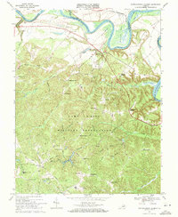
1969 Map of Rappahannock Academy
USGS Topo · Published 1971About this map
The Rappahannock River winds through this 1969 landscape, defining the northern boundary where extensive tidal flats and prominent river bends like Skinkers Neck and Corbins Neck dominate the terrain. This rural stretch of Caroline County is characterized by numerous family-named crossroads and landings, such as Hayfield Wharf and Skinkers Corner, reflecting a long-standing agricultural and river-based economy. The central and southern portions of the sheet are largely occupied by the Camp A P Hill Military Reservation, where a network of specialized routes like General Forest Road and Engineer Road navigate the wooded interior. Local history is anchored by the namesake Rappahannock Academy and spiritual landmarks including Bethesda Church and Liberty Ch. Evidence of early industry and infrastructure remains visible in the form of Travis Mill and the USC&GS Geomagnetic Center near the western edge.
Find a feature on this map
73 named features on this map. Tap any name to fly to it.
Don’t see what you’re looking for? This feature index may not catch every label — zoom into the map to look around manually.
Map Details
Editions of this 1969 Rappahannock Academy Map
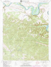
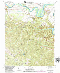
3 editions found
Other maps of this area

1889 · Fredericksburg
USGS Topo · 1:125,000

1892 · Fredericksburg
USGS Topo · 1:125,000

1894 · Fredericksburg
USGS Topo · 1:125,000

1926 · Stafford
USGS Topo · 1:62,500

1931 · Stafford
USGS Topo · 1:62,500

1942 · Bowling Green
USGS Topo · 1:31,680

1942 · Upper Zion
USGS Topo · 1:31,680

1942 · Woodford
USGS Topo · 1:31,680

1942 · Guinea
USGS Topo · 1:31,680

1942 · Port Royal
USGS Topo · 1:31,680