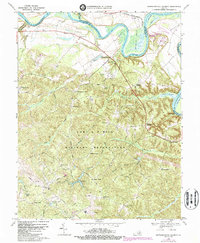
1969 Map of Rappahannock Academy
USGS Topo · Published 1987About this map
The Rappahannock River meanders across the northern portion of this Caroline County survey, where the sweeping loops of Moss Neck and Skinkers Neck define the fertile lowlands. The landscape reflects a transition from river-based commerce at sites like Hayfield Wharf and Haymarket Wharf to the expansive military presence of the Fort A P Hill Military Reservation, which occupies the central and southern reaches of the quadrangle.
Find a feature on this map
64 named features on this map. Tap any name to fly to it.
Don’t see what you’re looking for? This feature index may not catch every label — zoom into the map to look around manually.
Map Details
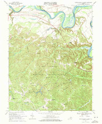
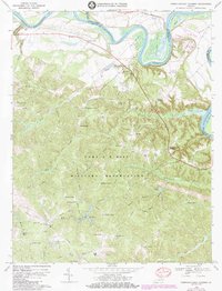
Editions of this 1969 Rappahannock Academy Map
3 editions found
Other maps of this area

1889 · Fredericksburg
USGS Topo · 1:125,000

1892 · Fredericksburg
USGS Topo · 1:125,000

1894 · Fredericksburg
USGS Topo · 1:125,000

1926 · Stafford
USGS Topo · 1:62,500

1931 · Stafford
USGS Topo · 1:62,500

1942 · Bowling Green
USGS Topo · 1:31,680

1942 · Upper Zion
USGS Topo · 1:31,680

1942 · Woodford
USGS Topo · 1:31,680

1942 · Guinea
USGS Topo · 1:31,680

1942 · Port Royal
USGS Topo · 1:31,680