2020s Maps of Spotsylvania County, Virginia
Explore 17 historic maps of Spotsylvania County from the 2020s. These maps offer a rare glimpse into what life looked like during the 2020s — showing old roads, neighborhoods, homes, and landmarks that have changed or disappeared over time.
Whether you're researching your family's past, planning a metal detecting trip, or studying how Spotsylvania County's landscape evolved across the 2020s, these high-resolution maps are a powerful tool for exploring the history of this region.
- Focus on a specific era: All maps on this page are from the 2020s, giving you a focused view of this time period.
- See what’s changed: Compare century-old streets, trails, and buildings to today's modern landscape using overlays and satellite layers.
- Research with precision: Use these maps for genealogy, historical research, land use analysis, or educational projects.
- View, download, or print: Maps are fully viewable online in high resolution, and can be downloaded or printed for your own records.
Start exploring Spotsylvania County's history through authentic maps from the 2020s. This is your window into the past.
Spotsylvania County, VA maps
(17)- 2022 Map of Richardsville, 2022 Print
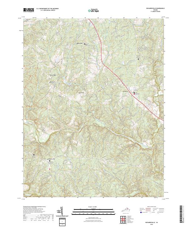 2022 Richardsville2022 Print · USGSThe confluence of the Rappahannock and Rapidun Rivers defines this Virginia countryside in the early twenty-first century. Researchers can trace family sites like Richardsville United Methodist Church Cem and old crossroads at Goldvein and Sumerduck.
 - 2022 Map of Beaverdam, 2022 Print
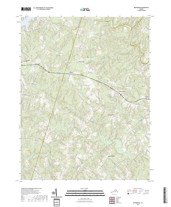 2022 Beaverdam2022 Print · USGSBeaverdam and the surrounding Virginia countryside appear here in their modern context at the meeting of four counties. Researchers can trace historic family crossroads at Terrell Store and Old Bandana or follow the CSX rail corridor.
 - 2022 Map of Rappahannock Academy, 2022 Print
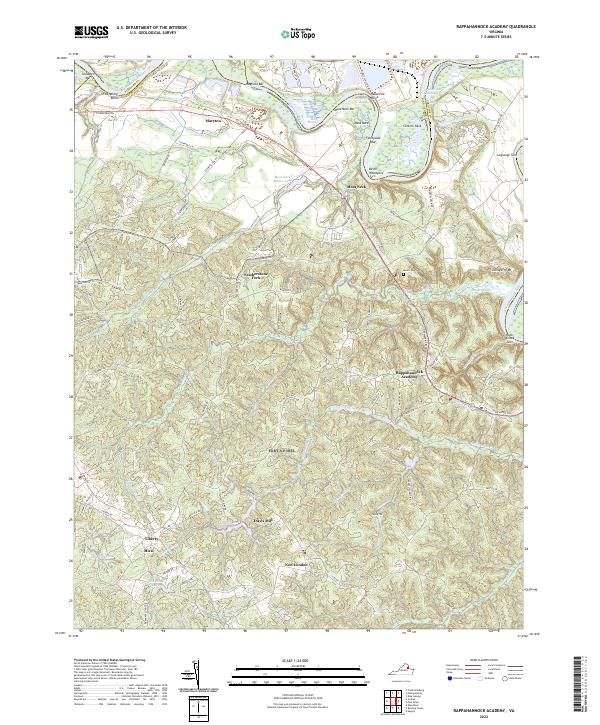 2022 Rappahannock Academy2022 Print · USGSCaroline County's rural character remains evident in the early twenty-first century along the banks of the Rappahannock River. Local historians can trace the distribution of old settlements and crossroads from Rappahannock Academy to Maryton and Travis Mill.
 - 2022 Map of Woodford, 2022 Print
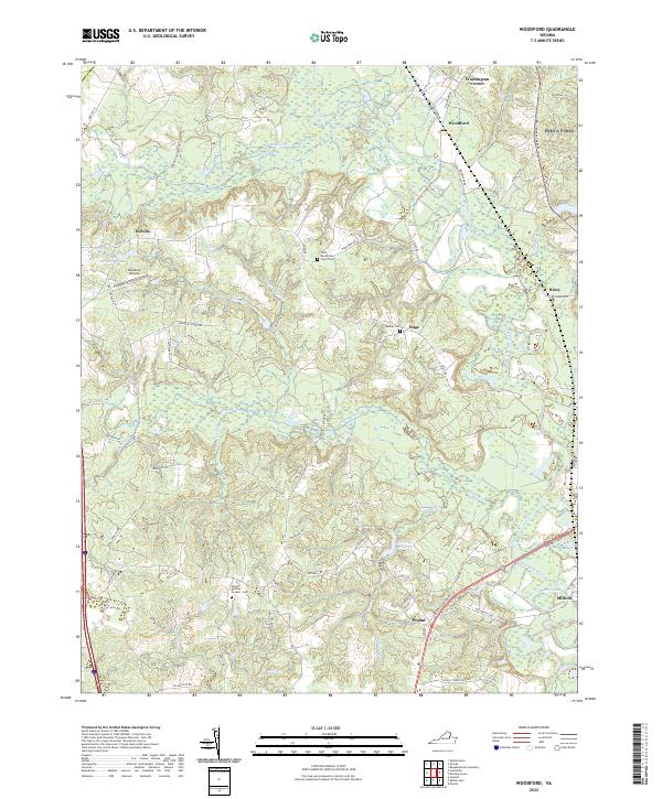 2022 Woodford2022 Print · USGSCaroline County's rural crossroads and river systems are captured here in the early twenty-first century. Genealogists and local historians can trace family locations near Third Mount Zion Church Cem, Old Grays Millpond, and the settlement of Woodford.
 - 2022 Map of Brokenburg, 2022 Print
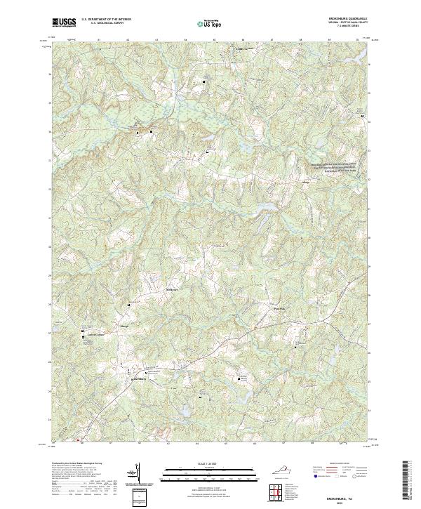 2022 Brokenburg2022 Print · USGSThe rural crossroads and Civil War battlegrounds of Spotsylvania County are documented here in the early twenty-first century. Genealogists can locate family-named sites like Jackson Family Cem and old settlements such as Todds Tavern and Brokenburg.
 - 2022 Map of Mine Run, 2022 Print
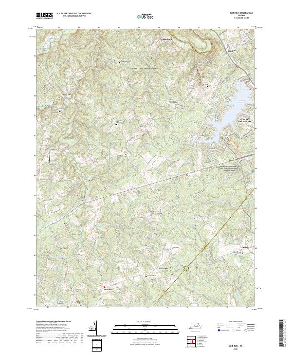 2022 Mine Run2022 Print · USGSThe Orange and Spotsylvania county line is documented here in recent years, showing where historic battlefields meet modern lakeside communities. Researchers can trace family history through numerous small plots like the Kube Family Cem or find landmarks like the Simpsonville Airport.
 - 2022 Map of Fredericksburg, 2022 Print
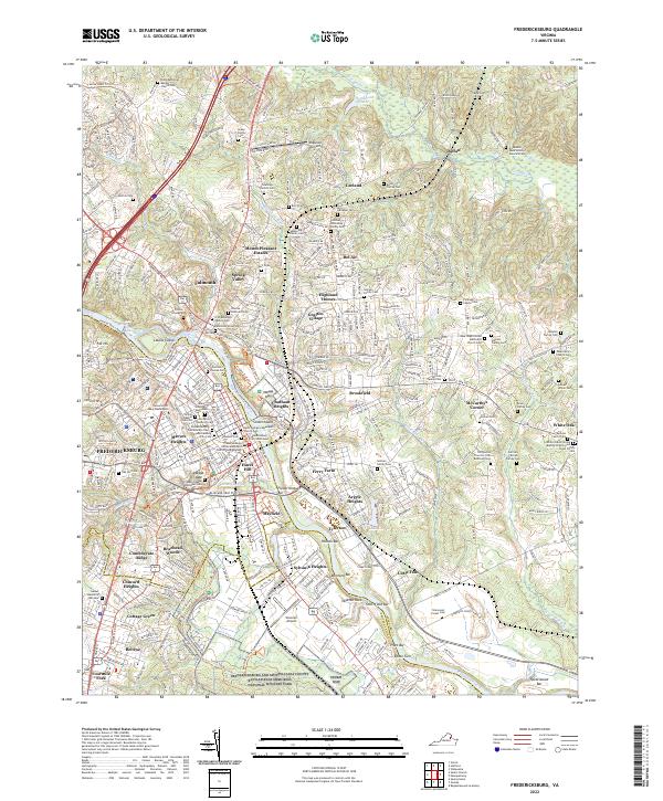 2022 Fredericksburg2022 Print · USGSFredericksburg and the Rappahannock River valley appear here in a modern era defined by both deep preservation and suburban growth. Researchers can locate dozens of family burial sites like Newton Family Cemetery or trace the grounds of the National Military Park.
 - 2022 Map of Guinea, 2022 Print
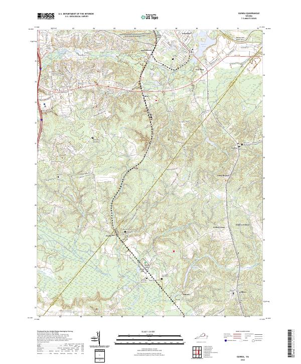 2022 Guinea2022 Print · USGSThe rural borderlands of Spotsylvania and Caroline Counties are shown here in the early 2020s, highlighting a landscape rich in memorial and military history. Researchers can trace numerous local burial sites including Minor Cem, Grace Church Cem, and the historic Macedonia Cem near Claiborne.
 - 2022 Map of Belmont, 2022 Print
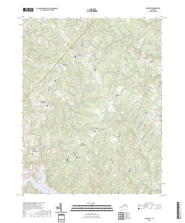 2022 Belmont2022 Print · USGSSpotsylvania County is mapped here in the early twenty-first century, showing a rural landscape defined by historic crossroads and the northern reaches of the Lake Anna shoreline. Genealogists can locate numerous family burial sites like the James Sullivan Family Cem or trace local history at Bells Crossroad and Craigs Church.
 - 2022 Map of Lahore, 2022 Print
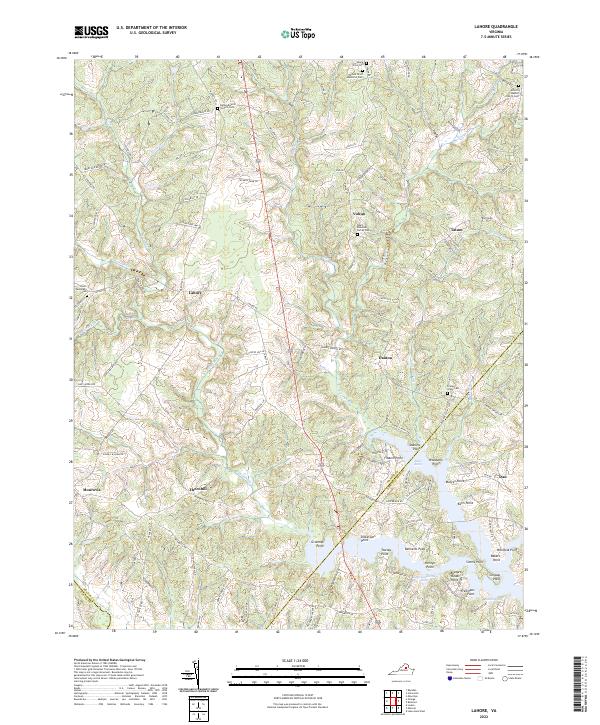 2022 Lahore2022 Print · USGSThis rural portion of Orange County is captured just as its shoreline communities continue to develop along the western reaches of Lake Anna. Researchers can trace local lineage through several family landmarks, including the Wyatt-McGehee Family Cem and the settlement of Lahore.
 - 2022 Map of Mineral, 2022 Print
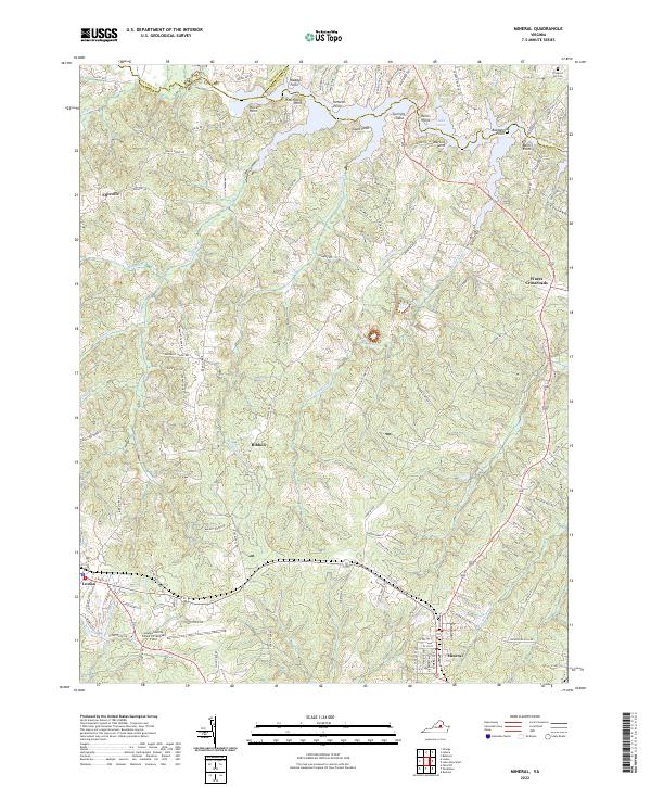 2022 Mineral2022 Print · USGSThe Piedmont region of central Virginia is captured here in the early twenty-first century, centered on the growing towns of Mineral and Louisa. Researchers can trace local heritage at Prospect Hill Cem or explore the developed shoreline of Lake Anna near Martins Point.
 - 2022 Map of Lake Anna West, 2022 Print
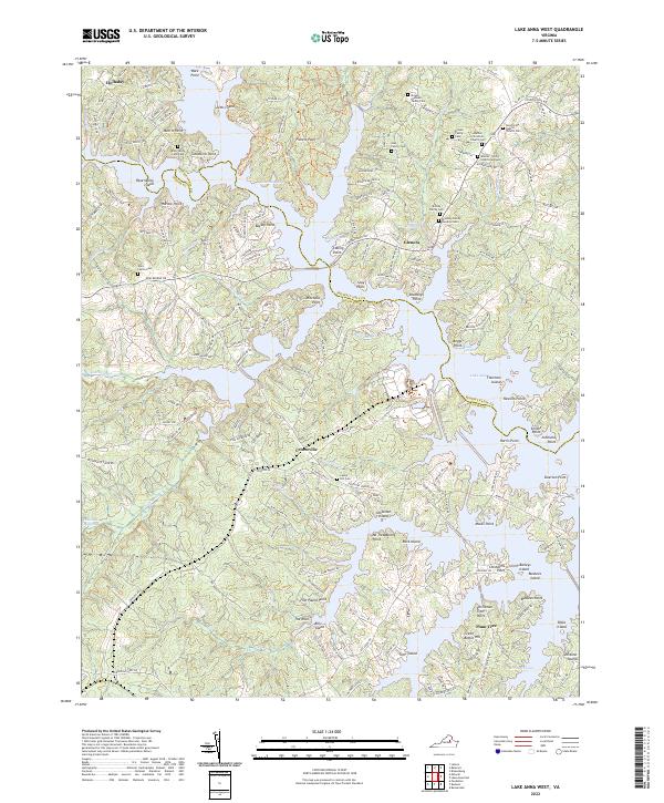 2022 Lake Anna West2022 Print · USGSThe Lake Anna shoreline in the early twenty-first century reveals a landscape of modern waterfront communities layered over deep-rooted family lands. Researchers can locate numerous private graveyards like the Brooks - Simms - Lloyd Graveyard or trace the geography of Whitlock Millpond.
 - 2022 Map of Spotsylvania, 2022 Print
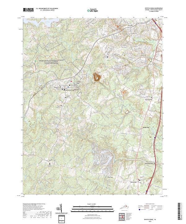 2022 Spotsylvania2022 Print · USGSSpotsylvania County at the start of the 2020s shows a landscape where battlefield preservation meets modern growth. Genealogists can locate family burial sites at Roxbury Plantation Cem and Coleman Cem, or trace early industry at Stanards Mill.
 - 2022 Map of Ladysmith, 2022 Print
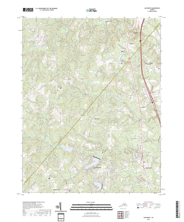 2022 Ladysmith2022 Print · USGSCaroline County and the surrounding rural corridor are shown in the twenty-first century as modern growth meets deep-rooted history. Researchers can trace family heritage at the Beulah Baptist Church Cem or find old landmarks like Colemans Mill and Hams Ford.
 - 2022 Map of Lake Anna East, 2022 Print
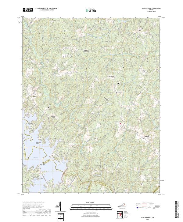 2022 Lake Anna East2022 Print · USGSSpotsylvania County is shown here in the early twenty-first century as the intricate waters of Lake Anna meet rural Virginia crossroads. Genealogists can locate several family-named landmarks and burial grounds, including Sacra Family Cem, Rockland Farm Cem, and the settlement of Penneys Crossroad.
 - 2022 Map of Chancellorsville, 2022 Print
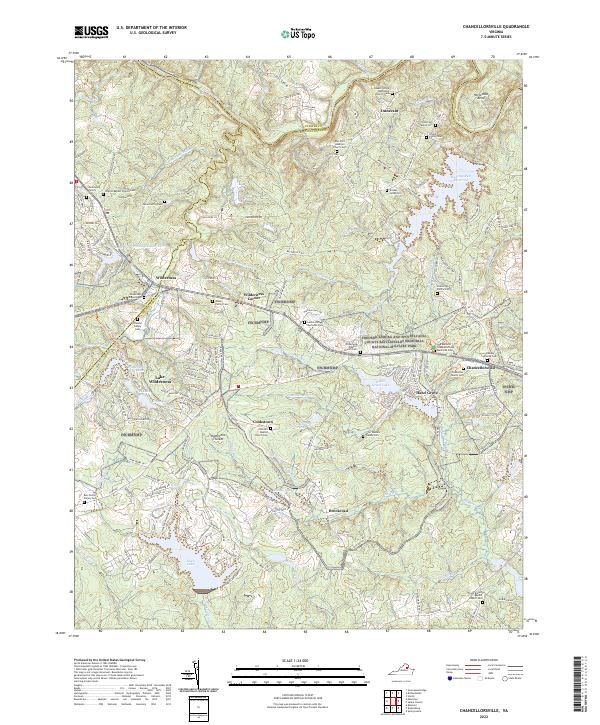 2022 Chancellorsville2022 Print · USGSSpotsylvania County’s storied Civil War battlefields and rural crossroads are preserved here in the early twenty-first century. Genealogists and historians can locate numerous family burial sites like the Ellwood Family Cem and trace the historic grounds of Hazel Grove.
 - 2022 Map of Salem Church, 2022 Print
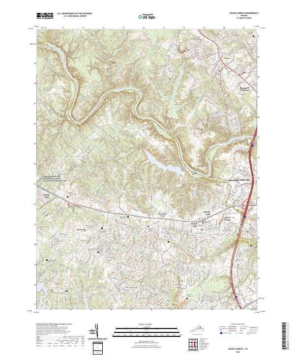 2022 Salem Church2022 Print · USGSThe Rappahannock River corridor west of Fredericksburg is captured here in its contemporary state, where battlefield preservation meets suburban growth. Researchers can locate numerous family burial grounds and historic churchyards like Zoan Baptist Church Cem and the Hildrup Family Burial Ground.
End of results
Showing maps 1-17 of 17
Top cities of Spotsylvania County
Frequently asked questions
- What are the different types of historical maps available for Spotsylvania County?
- What is the oldest map of Spotsylvania County?
- Where can I purchase historical maps of Spotsylvania County for my home or office?
- Where can I download high-res historical maps of Spotsylvania County?
- Are there historical topographic maps available for Spotsylvania County?
- Is there historical aerial imagery available for Spotsylvania County?
- Where are historical maps of Spotsylvania County sourced from?