Old Maps of Lind, Washington for Metal Detecting
Plan your next treasure hunt with 17 historic maps of Lind. Find old homesites, ghost towns, trails, and gathering spots that may be lost to time — perfect for identifying promising metal detecting locations.
- Locate forgotten sites: Uncover places like long-lost settlements, abandoned rail lines, or gathering spots.
- Plan better hunts: Use map overlays combined with LiDAR or satellite views to narrow in on historically rich areas.
- Made for detectorists: Thousands of hobbyists use these maps to discover relics, coins, and hidden history.
Use these historic maps to boost your research and find new opportunities beneath the surface of Lind.
Lind, WA maps
(17)- 1916 Map of Connell
 1916 Connell1916 Print · USGSIn the decade before the region's landscape was further transformed by modern irrigation, this area shows a dense network of early schoolhouses and railroad stops. Genealogists can trace family footprints through sites like Roxboro School, Hatton, and Kahlotus along the Washtucna Lake shoreline.
 - 1918 Map of Connell
 1918 Connell1918 Print · USGSEastern Washington at the end of the Great War era shows a landscape shaped by emerging railroads and a dense network of rural school districts. Genealogists and historians can trace family-named sites across Paradise Flats and locate early community hubs like Kahlotus, Connell, and Stephenson School.
 - 1953 Map of Walla Walla, 1964 Print
 1953 Walla Walla1964 Print · USGSSoutheast Washington enters the atomic and hydroelectric age in the mid-twentieth century as new dams reshape the desert landscape. You can trace the development of the Hanford Works, identify remote rail stops like Novara Siding, and locate the historic Dry Creek Cem.3 unique versions available
 - 1958 Map of Walla Walla
 1958 Walla Walla1958 Print · USGSThe Tri-Cities and Walla Walla region are captured here during the mid-century expansion of atomic energy and river infrastructure. Genealogists and historians can trace the early layout of Richland (AEC), the rural Hatton and Washtucna settlements, and landmarks like Palouse Falls State Park.
 - 1970 Map of Lind, 1973 Print
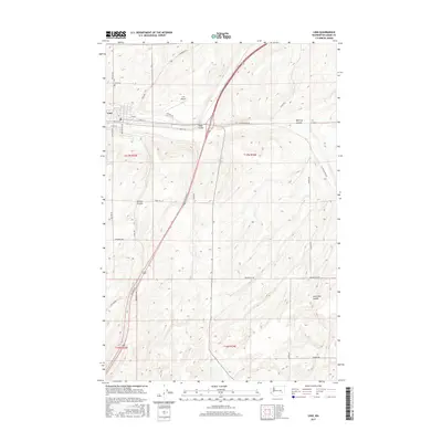
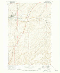 1970 Lind1973 Print · USGSLind flourished as a rail hub in the 1970s where two major lines intersected amidst the unique coulee geography of eastern Washington. Researchers can trace the town's layout including the High Sch and Lind Cem or follow rural routes like Wahl Road.
 - 1970 Map of Providence, 1973 Print
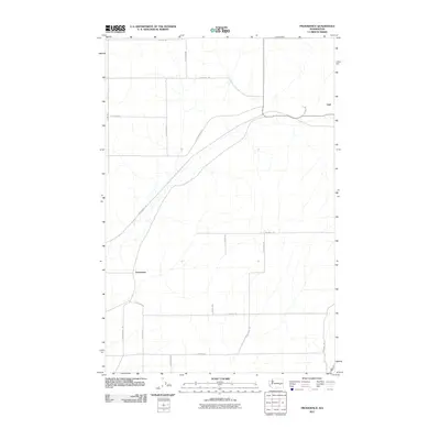
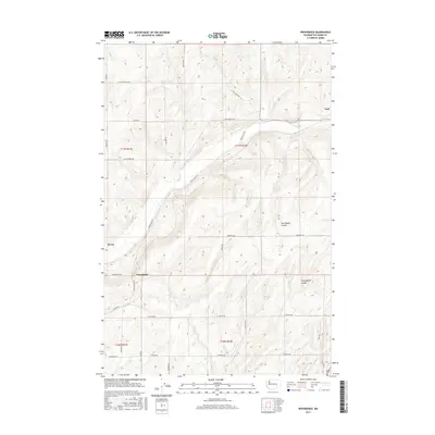
 1970 Providence1973 Print · USGSAdams County at the start of the 1970s shows a landscape shaped by rail and coulee drainage. Trace the crossing of the Burlington Northern and the Milwaukee Road near Providence and the Rodeo Grounds.
 - 1983 Map of Connell
 1983 Connell1983 Print · USGSEastern Washington's coulee country is captured here in the early eighties as a landscape of remote rail junctions and massive river engineering. Trace family roots in Connell or Kahlotus, and follow old transport lines like the Old Lind Road Grade and Burlington Northern tracks.
 - 2011 Map of Providence, 2011 Print
 2011 Providence2011 Print · USGSCovers Lind, including Adams County, United States, and other nearby areas
 - 2011 Map of Lind, 2011 Print
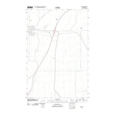 2011 Lind2011 Print · USGSCovers Lind, including Adams County, United States, and other nearby areas
 - 2013 Map of Providence, 2013 Print
 2013 Providence2013 Print · USGSCovers Lind, including Adams County, United States, and other nearby areas
 - 2014 Map of Lind, 2014 Print
 2014 Lind2014 Print · USGSCovers Lind, including Adams County, United States, and other nearby areas
 - 2017 Map of Providence, 2017 Print
 2017 Providence2017 Print · USGSCovers Lind, including Adams County, United States, and other nearby areas
 - 2017 Map of Lind, 2017 Print
 2017 Lind2017 Print · USGSCovers Lind, including Adams County, United States, and other nearby areas
 - 2020 Map of Providence, 2020 Print
 2020 Providence2020 Print · USGSCovers Lind, including Adams County, United States, and other nearby areas
 - 2020 Map of Lind, 2020 Print
 2020 Lind2020 Print · USGSCovers Lind, including Adams County, United States, and other nearby areas
 - 2023 Map of Providence, 2023 Print
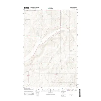
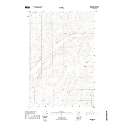
 2023 Providence2023 Print · USGSAdams County land use and drainage patterns are captured here in the contemporary era. Researchers can trace the path of the Palouse To Cascades State Park Trl past historic railroad points like Providence and Servia.
 - 2023 Map of Lind, 2023 Print
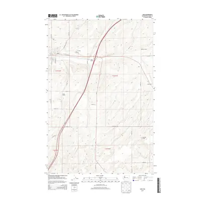
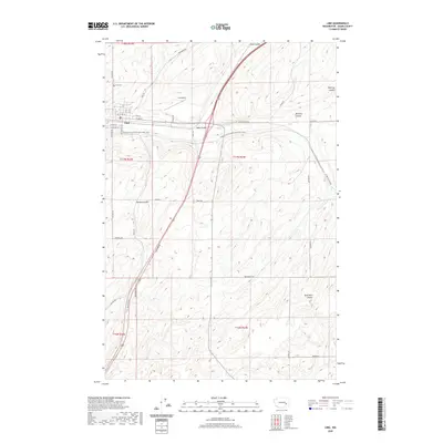
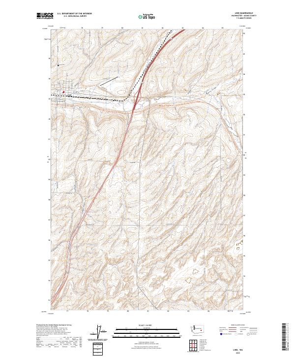 2023 Lind2023 Print · USGSThe community of Lind is shown in high detail within its landscape of coulees and rural road networks. Researchers can trace family history at Lind Cem and follow the historic path of the Palouse-To-Cascades State Park Trl.
End of results
Showing maps 1-17 of 17
Top cities near Lind
Frequently asked questions
- What are the different types of historical maps available for Lind?
- What is the oldest map of Lind?
- Where can I purchase historical maps of Lind for my home or office?
- Where can I download high-res historical maps of Lind?
- Are there historical topographic maps available for Lind?
- Is there historical aerial imagery available for Lind?
- Where are historical maps of Lind sourced from?