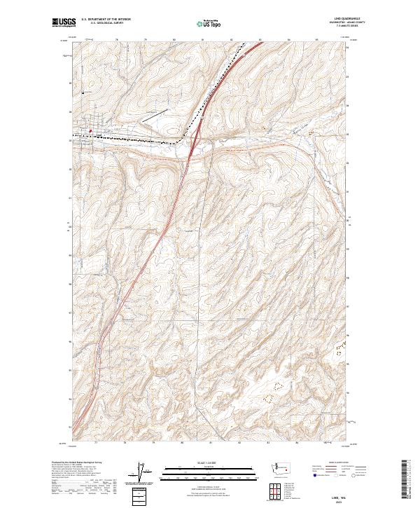
2023 Map of Lind
USGS Topo · Published 2023About this map
Lind serves as the focal point of this Adams County landscape, situated at the confluence of several prominent coulees including Lind Coulee and Paha Coulee. This high-desert terrain is defined by its drainage patterns and transportation corridors, including the Palouse-To-Cascades State Park Trl, which follows a historic rail route through the heart of the township. The town's grid is preserved in detail, showing streets from N G St to W S First St, while the nearby Lind Airport and Lind Cem anchor the community's outskirts.
Find a feature on this map
42 named features on this map. Tap any name to fly to it.
Don’t see what you’re looking for? This feature index may not catch every label — zoom into the map to look around manually.
Map Details
Editions of this 2023 Lind Map
This is the sole edition of this map. No revisions or reprints were ever made.
Other maps of this area

1916 · Connell
USGS Topo · 1:125,000

1918 · Connell
USGS Topo · 1:125,000

1923 · Washtucna
USGS Topo · 1:62,500

1925 · Washtucna
USGS Topo · 1:62,500

1953 · Walla Walla
USGS Topo · 1:250,000

1953 · Ritzville
USGS Topo · 1:250,000

1958 · Walla Walla
USGS Topo · 1:250,000

1959 · Ritzville
USGS Topo · 1:250,000

1965 · Ritzville
USGS Topo · 1:250,000

1967 · Reiman SW
USGS Topo · 1:24,000