
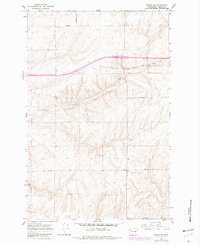
1967 Map of Reiman SW
USGS Topo · Published 1969About this map
The high plateau of Adams County in the late 1960s is defined by its rectilinear road network and the deep, winding incision of Bauer Coulee. Named for several local families, the landscape is dotted with small agricultural clusters such as Greenwalt, Alter, Melt, and Kasper. These settlements reflect a mid-century rural distribution where individual farmsteads were linked by well-defined routes including Lauer Road and Franz Road. The map reveals the practical infrastructure of the era, from industrial sites like the Borrow Pit and Gravel Pit to the numerous survey markers (BM) that measured the undulating elevations of the Columbia Basin. The presence of several Well sites across the terrain underscores the reliance on groundwater to support this semi-arid farming region before larger-scale irrigation changes.
Find a feature on this map
35 named features on this map. Tap any name to fly to it.
Don’t see what you’re looking for? This feature index may not catch every label — zoom into the map to look around manually.
Map Details
Editions of this 1967 Reiman SW Map
2 editions found
Other maps of this area

1916 · Connell
USGS Topo · 1:125,000

1918 · Connell
USGS Topo · 1:125,000

1925 · Schrag
USGS Topo · 1:62,500

1953 · Walla Walla
USGS Topo · 1:250,000

1953 · Ritzville
USGS Topo · 1:250,000

1958 · Walla Walla
USGS Topo · 1:250,000

1959 · Ritzville
USGS Topo · 1:250,000

1965 · Ritzville
USGS Topo · 1:250,000

1967 · Schoonover
USGS Topo · 1:24,000

1967 · Batum
USGS Topo · 1:24,000