
1967 Map of Batum
USGS Topo · Published 1970About this map
The tiny settlement of Batum stands as a focal point in this agricultural landscape of central Washington, centered on the Grain Elevators that serve the surrounding wheat country. The rail-and-road network defines the economy here, with the Chicago Milwaukee St Paul and Pacific railroad cutting through the terrain alongside the deep geological incision of Rocky Coulee. Local history is anchored by the Ammaus Cem and another unmarked Cem, reflecting early homesteading and community development in this portion of Adams County.
Find a feature on this map
28 named features on this map. Tap any name to fly to it.
Don’t see what you’re looking for? This feature index may not catch every label — zoom into the map to look around manually.
Map Details
Editions of this 1967 Batum Map
This is the sole edition of this map. No revisions or reprints were ever made.
Other maps of this area

1925 · Schrag
USGS Topo · 1:62,500

1953 · Ritzville
USGS Topo · 1:250,000

1959 · Ritzville
USGS Topo · 1:250,000

1965 · Ritzville
USGS Topo · 1:250,000

1967 · Reiman SW
USGS Topo · 1:24,000
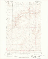
1967 · Ruff
USGS Topo · 1:24,000
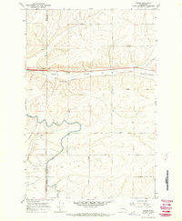
1967 · Weber
USGS Topo · 1:24,000

1967 · Reiman
USGS Topo · 1:24,000
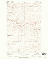
1967 · Schrag
USGS Topo · 1:24,000

1968 · Marlin SW
USGS Topo · 1:24,000