
1967 Map of Reiman
USGS Topo · Published 1970About this map
The Chicago Milwaukee St Paul and Pacific railroad cuts across the northern landscape of Adams County, anchoring the small settlements of Lauer, Reiman, and Jantz. This mid-century survey reveals an agricultural economy deeply tied to the rail line, evidenced by the Grain Elevators positioned along the tracks near Lauer and a singular Grain Elevator at Jantz. The terrain is defined by the significant geological depressions of Rocky Coulee and a secondary southern coulee that carve through the wheat country.
Find a feature on this map
23 named features on this map. Tap any name to fly to it.
Don’t see what you’re looking for? This feature index may not catch every label — zoom into the map to look around manually.
Map Details
Editions of this 1967 Reiman Map
This is the sole edition of this map. No revisions or reprints were ever made.
Other maps of this area

1925 · Schrag
USGS Topo · 1:62,500

1953 · Ritzville
USGS Topo · 1:250,000

1959 · Ritzville
USGS Topo · 1:250,000

1965 · Ritzville
USGS Topo · 1:250,000

1967 · Reiman SW
USGS Topo · 1:24,000

1967 · Schoonover
USGS Topo · 1:24,000

1967 · Batum
USGS Topo · 1:24,000
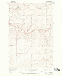
1967 · Schrag
USGS Topo · 1:24,000
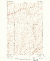
1967 · Reiman SE
USGS Topo · 1:24,000

1968 · Irby
USGS Topo · 1:24,000