
1986 Map of Taunton
USGS Topo · Published 1986About this map
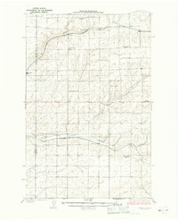
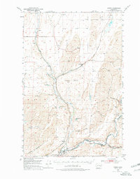
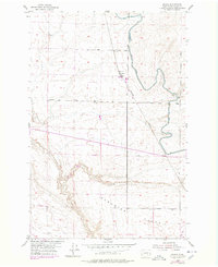
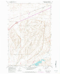
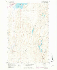
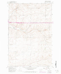
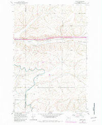
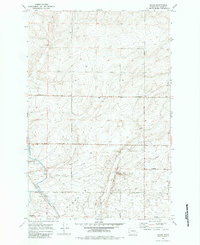
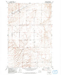
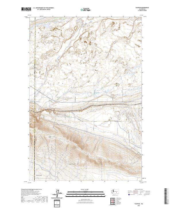
Saddle Mountains dominate the southern portion of this landscape, rising sharply above the Wahluke Slope and the highly engineered water systems of the Columbia Basin. The map details the infrastructure of mid-century irrigation and energy, featuring the Wahluke Branch Canal, an aqueduct, and a siphon that facilitate agricultural movement across the arid terrain. Central to the local history is the railroad settlement of Taunton, positioned alongside the Milwaukee Road and its associated Taunton Substation. The northern reaches are characterized by the complex wetland systems of the Columbia National Wildlife Refuge, where Crab Creek and Royal Lake provide a stark contrast to the nearby Hanford Site (DOE) boundary. This 1980s survey captures a territory split between intensive conservation efforts and significant federal industrial footprints.
Find a feature on this map
22 named features on this map. Tap any name to fly to it.
Don’t see what you’re looking for? This feature index may not catch every label — zoom into the map to look around manually.
Map Details
Editions of this 1986 Taunton Map
This is the sole edition of this map. No revisions or reprints were ever made.
Historical Maps of Grant County Through Time
67 maps found
1925 Schrag
Adams County, WA
1950 Benge
Adams County, WA

1952 Benge
Adams County, WA
1954 Bruce
Adams County, WA
1964 Karakul Hills
Adams County, WA

1964 Macall
Adams County, WA

1964 Marengo
Adams County, WA
1964 Palm Lake
Adams County, WA

1967 Batum
Adams County, WA

1967 Reiman
Adams County, WA
1967 Reiman SE
Adams County, WA
1967 Reiman SW
Adams County, WA

1967 Ritzville NE
Adams County, WA

1967 Ritzville NW
Adams County, WA

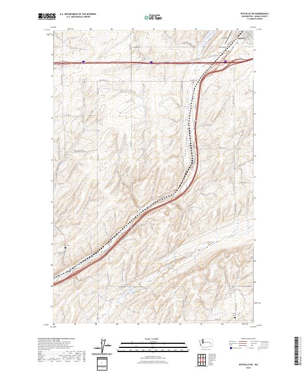
1967 Ritzville SE
Adams County, WA
1967 Ritzville SW
Adams County, WA

1967 Ruff
Adams County, WA

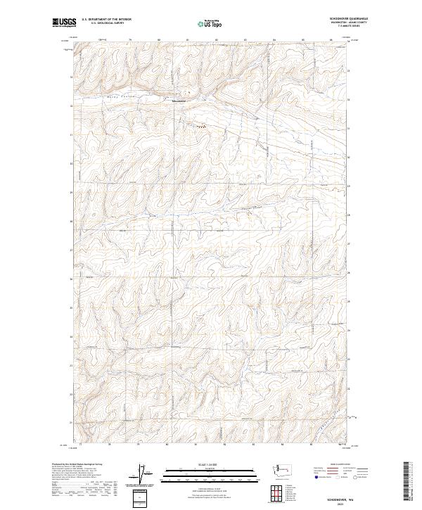
1967 Schoonover
Adams County, WA
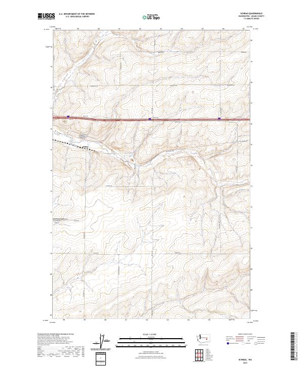
1967 Schrag
Adams County, WA
1967 Weber
Adams County, WA

1970 Hatton NW
Adams County, WA

1970 Lind SE
Adams County, WA

1970 Lind SW
Adams County, WA

1970 Providence
Adams County, WA

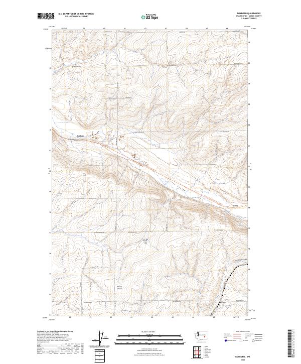
1970 Roxboro
Adams County, WA
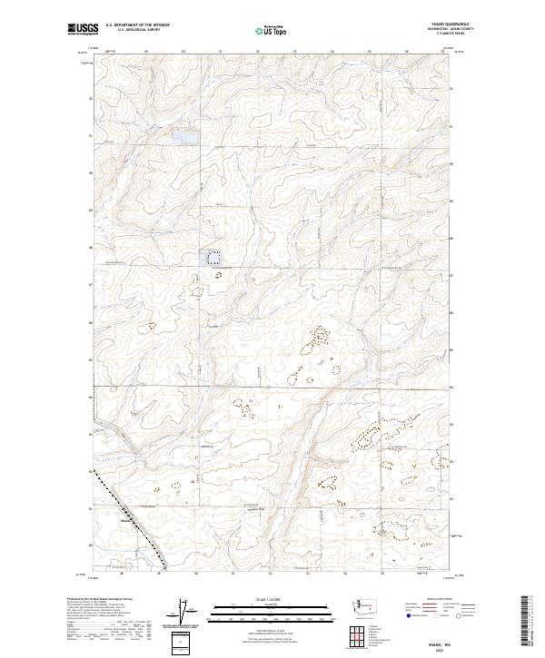
1970 Shano
Adams County, WA

1972 Pizarro
Adams County, WA
1972 Ralston
Adams County, WA

1972 Washtucna North
Adams County, WA

1972 Washtucna SW
Adams County, WA

1981 Benge
Adams County, WA

1981 Coyote Butte
Adams County, WA

1981 Hooper
Adams County, WA

1981 Rattlesnake Canyon
Adams County, WA
1986 Taunton
Adams County, WA
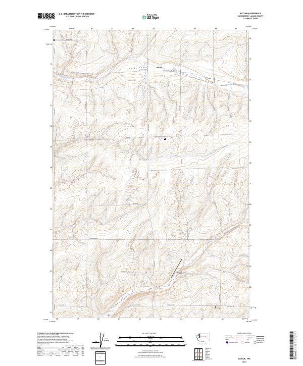
2023 Batum
Adams County, WA

2023 Benge
Adams County, WA
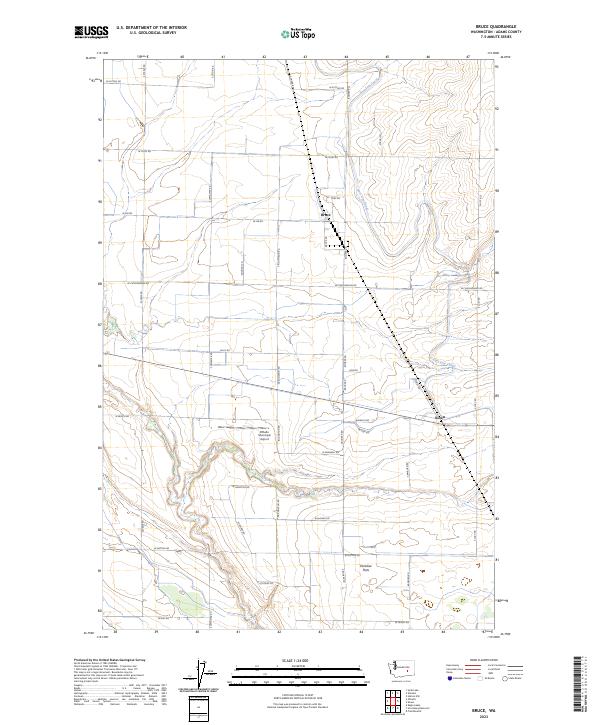
2023 Bruce
Adams County, WA
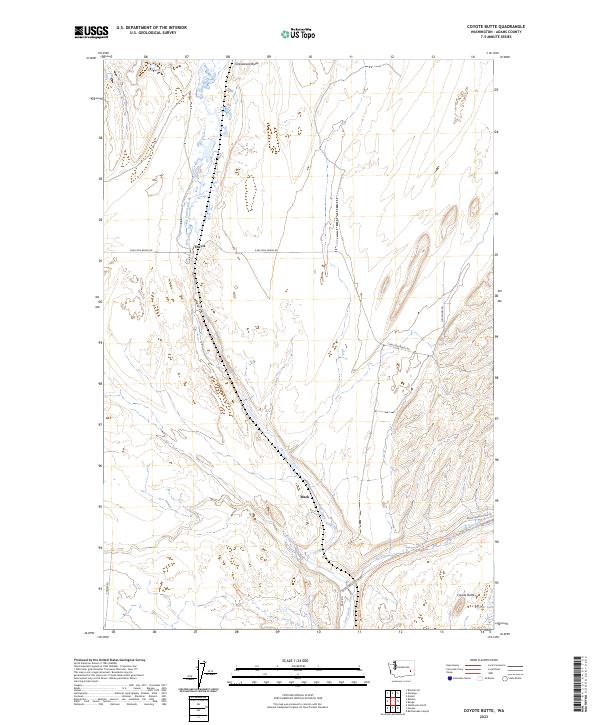
2023 Coyote Butte
Adams County, WA
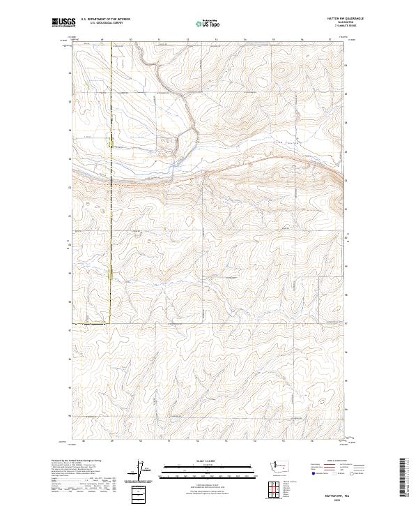
2023 Hatton NW
Adams County, WA

2023 Hooper
Adams County, WA
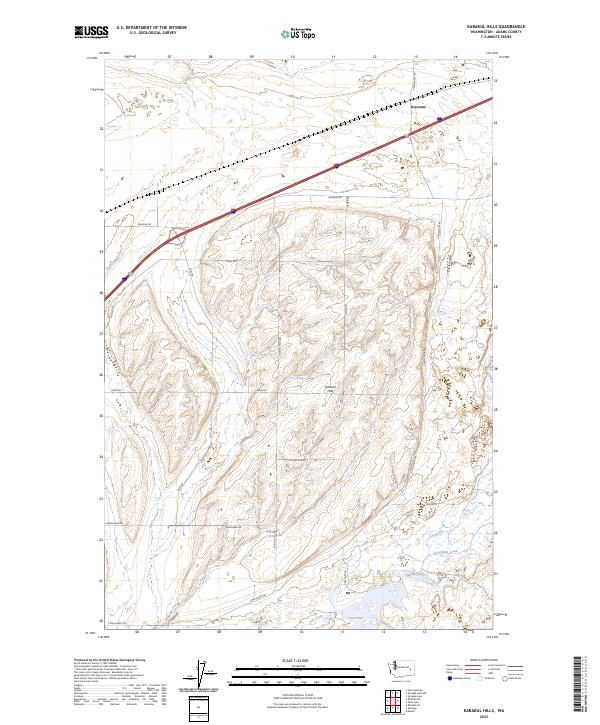
2023 Karakul Hills
Adams County, WA
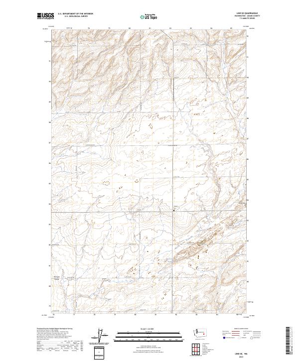
2023 Lind SE
Adams County, WA
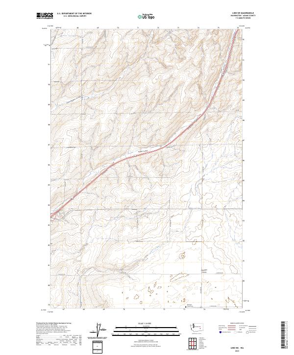
2023 Lind SW
Adams County, WA

2023 Macall
Adams County, WA
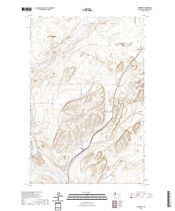
2023 Marengo
Adams County, WA
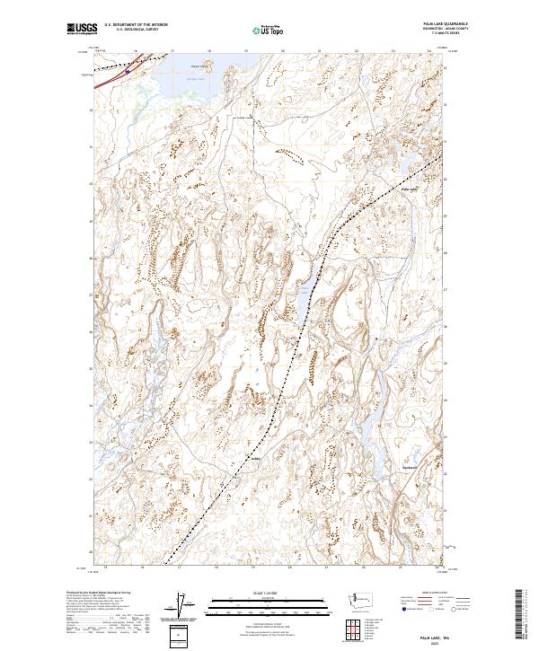
2023 Palm Lake
Adams County, WA

2023 Pizarro
Adams County, WA

2023 Providence
Adams County, WA
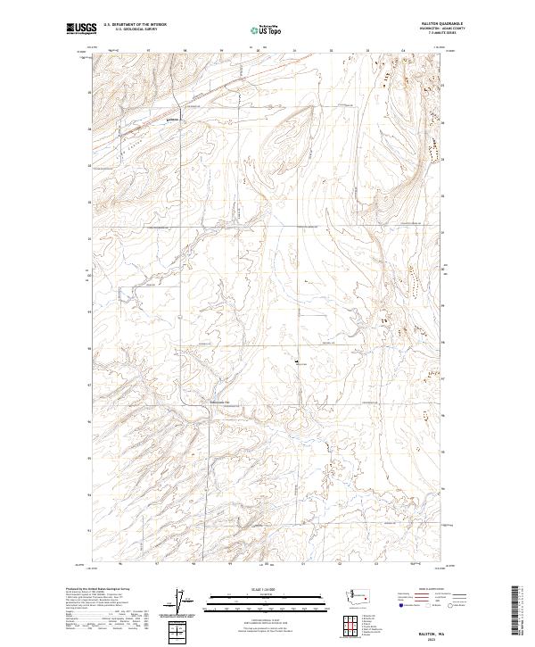
2023 Ralston
Adams County, WA
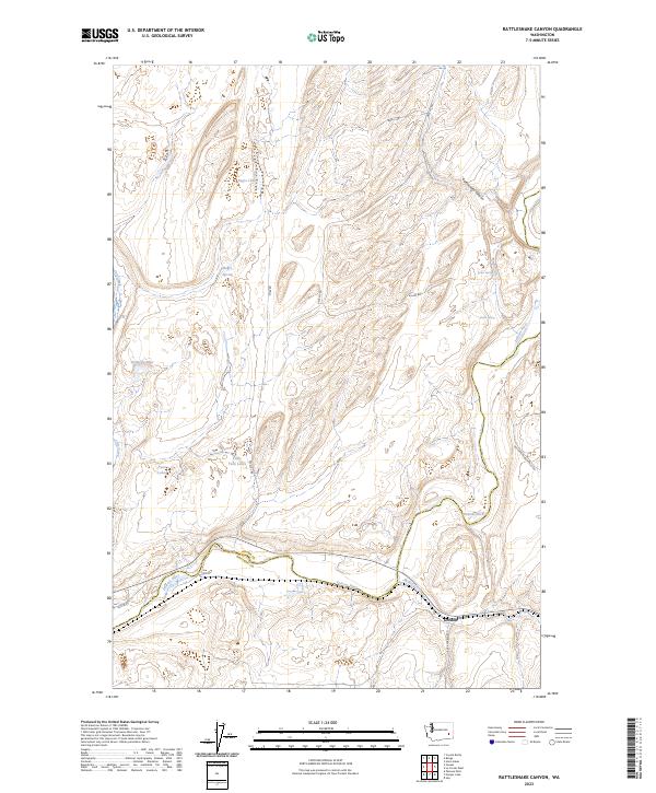
2023 Rattlesnake Canyon
Adams County, WA
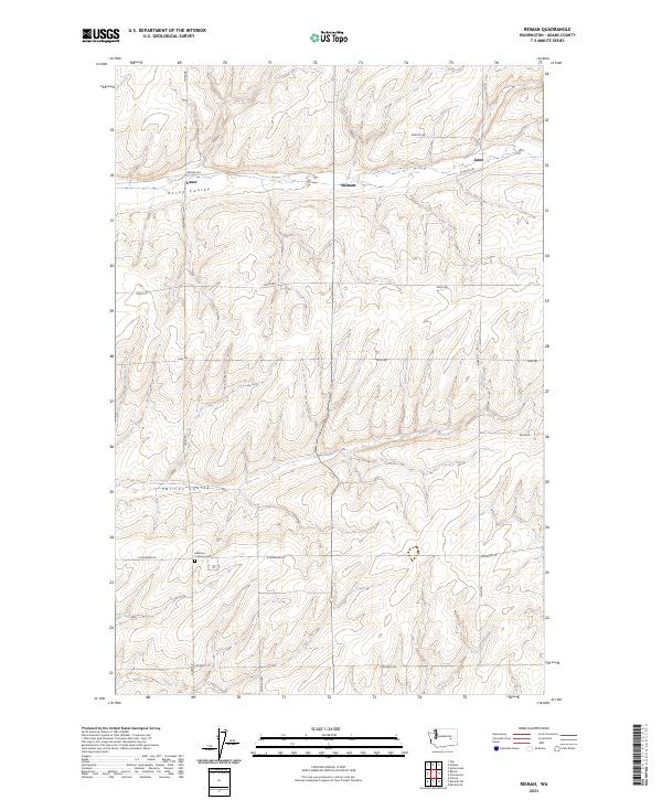
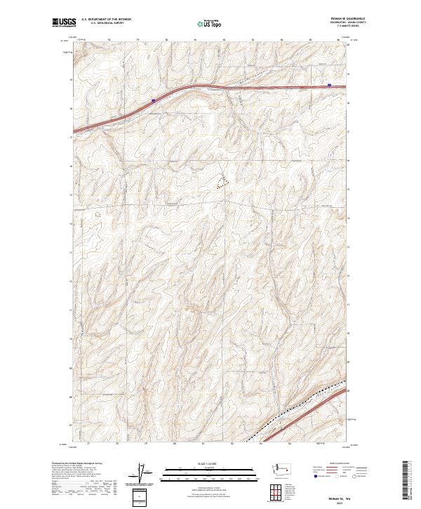
2023 Reiman
Adams County, WA
2023 Reiman SE
Adams County, WA
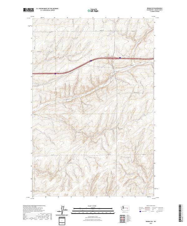
2023 Reiman SW
Adams County, WA
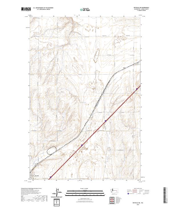
2023 Ritzville NE
Adams County, WA
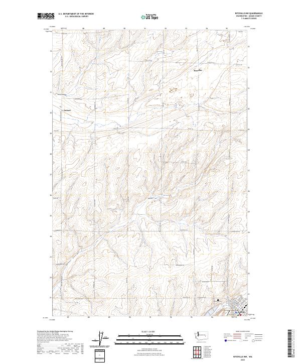
2023 Ritzville NW
Adams County, WA

2023 Ritzville SE
Adams County, WA
2023 Ritzville SW
Adams County, WA
2023 Roxboro
Adams County, WA

2023 Ruff
Adams County, WA
2023 Schoonover
Adams County, WA
2023 Schrag
Adams County, WA
2023 Shano
Adams County, WA
2023 Taunton
Adams County, WA

2023 Washtucna North
Adams County, WA

2023 Weber
Adams County, WA
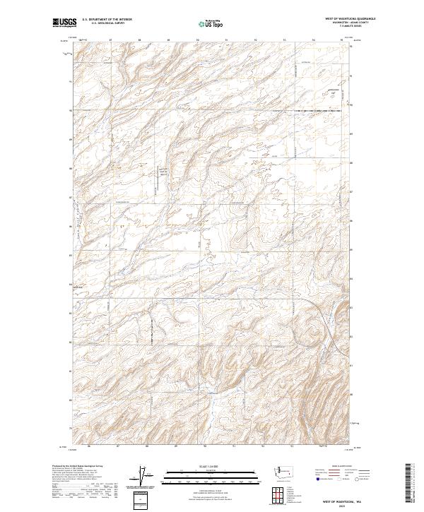
2023 West of Washtucna
Adams County, WA