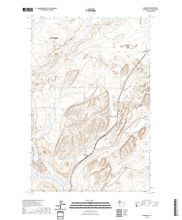
2023 Map of Marengo
USGS Topo · Published 2023About this map
Marengo Hills dominate the central topography of this Adams County landscape, where the winding course of Cow Creek carves through the basalt-rich terrain of the Inland Northwest. The map captures a high-desert environment defined by scattered agricultural outposts and the long-distance corridor of the Palouse To Cascades State Park Trl. This trail follows the historic path of the former Chicago, Milwaukee, St. Paul and Pacific Railroad, connecting small, isolated settlements that reflect the area's rail-dependent heritage. Small population centers like Marengo and Carlmar are joined by the remote locations of Teske and Emden, which once served as vital nodes for grain transport. The grid of rural roads, including Harder Rd and Cow Creek Rd, underscores the persistence of ranching and dryland farming in a region shaped by ice-age floods and pioneer-era expansion.
Find a feature on this map
18 named features on this map. Tap any name to fly to it.
Don’t see what you’re looking for? This feature index may not catch every label — zoom into the map to look around manually.
Map Details
Editions of this 2023 Marengo Map
This is the sole edition of this map. No revisions or reprints were ever made.
Other maps of this area

1923 · Washtucna
USGS Topo · 1:62,500

1925 · Washtucna
USGS Topo · 1:62,500

1950 · Benge
USGS Topo · 1:62,500

1952 · Benge
USGS Topo · 1:62,500

1953 · Walla Walla
USGS Topo · 1:250,000

1953 · Ritzville
USGS Topo · 1:250,000

1958 · Walla Walla
USGS Topo · 1:250,000

1959 · Ritzville
USGS Topo · 1:250,000

1964 · Karakul Hills
USGS Topo · 1:24,000

1964 · Macall
USGS Topo · 1:24,000