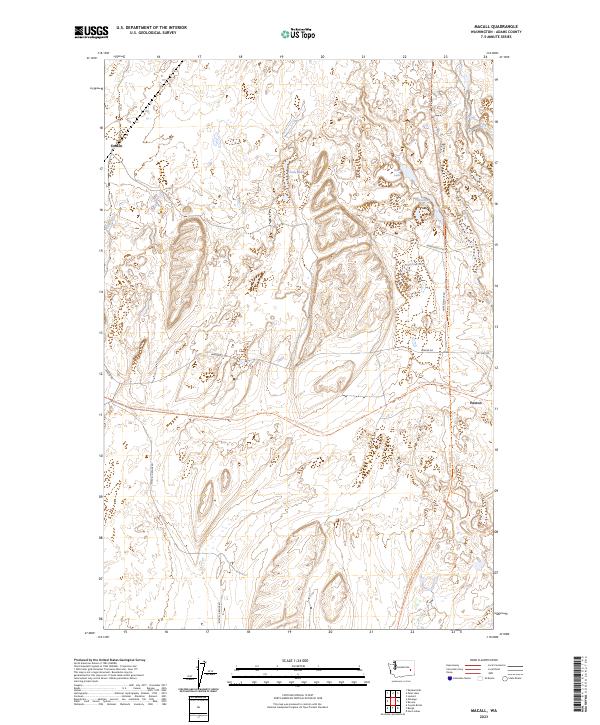
2023 Map of Macall
USGS Topo · Published 2023About this map
Paxton and Emden anchor this high-plateau landscape in Adams County, where the terrain is defined by the complex coulees and lakes of the Channeled Scablands. The map traces the critical intersection of the Palouse To Cascades State Park Trl and the Columbia Plateau State Park Trl, rail-trail corridors that follow the historic paths of the Chicago, Milwaukee, St. Paul and Pacific and the Spokane, Portland and Seattle railways. This modern survey shows a landscape of scattered water bodies including Adams Lake, Sims Lake, and Horseshoe Lake, nestled among basalt formations and rolling wheat fields. The drainage of McElroy Creek and several unnamed scabland depressions contrast with the straight-line precision of the township and range boundaries, while local thoroughfares like Ritzville-Benge Rd and Harder Rd connect the isolated agricultural holdings.
Find a feature on this map
22 named features on this map. Tap any name to fly to it.
Don’t see what you’re looking for? This feature index may not catch every label — zoom into the map to look around manually.
Map Details
Editions of this 2023 Macall Map
This is the sole edition of this map. No revisions or reprints were ever made.
Other maps of this area

1950 · La Crosse
USGS Topo · 1:62,500

1950 · Benge
USGS Topo · 1:62,500

1952 · La Crosse
USGS Topo · 1:62,500

1952 · Benge
USGS Topo · 1:62,500

1953 · Walla Walla
USGS Topo · 1:250,000

1953 · Ritzville
USGS Topo · 1:250,000

1955 · Pullman
USGS Topo · 1:250,000

1955 · Spokane
USGS Topo · 1:250,000

1958 · Spokane
USGS Topo · 1:250,000

1958 · Pullman
USGS Topo · 1:250,000