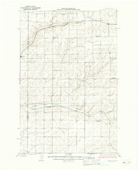
1925 Map of Schrag
USGS Topo · Published 1925About this map
Hoffnungberg Church and Menno Church stand as central landmarks in this agricultural landscape surveyed in the early 1920s. Located near the Grant County and Adams County border, the area is defined by the deep incisions of Rocky Coulee, Farrier Coulee, and Bowers Coulee, which dictate the placement of transportation and small settlements. The rail network is the primary driver of development, with the Chicago Milwaukee and St Paul running through the northern sections and the Northern Pacific cutting across the central plains.
Find a feature on this map
24 named features on this map. Tap any name to fly to it.
Don’t see what you’re looking for? This feature index may not catch every label — zoom into the map to look around manually.
Map Details
Editions of this 1925 Schrag Map
2 editions found
Other maps of this area

1916 · Connell
USGS Topo · 1:125,000

1918 · Connell
USGS Topo · 1:125,000

1923 · Wheeler
USGS Topo · 1:62,500

1924 · Othello
USGS Topo · 1:62,500

1925 · Wheeler
USGS Topo · 1:62,500

1925 · Schrag
USGS Topo · 1:62,500

1953 · Walla Walla
USGS Topo · 1:250,000

1953 · Ritzville
USGS Topo · 1:250,000

1954 · Warden
USGS Topo · 1:24,000

1954 · Othello
USGS Topo · 1:62,500