Old Maps of Richland, Washington for Metal Detecting
Plan your next treasure hunt with 47 historic maps of Richland. Find old homesites, ghost towns, trails, and gathering spots that may be lost to time — perfect for identifying promising metal detecting locations.
- Locate forgotten sites: Uncover places like long-lost settlements, abandoned rail lines, or gathering spots.
- Plan better hunts: Use map overlays combined with LiDAR or satellite views to narrow in on historically rich areas.
- Made for detectorists: Thousands of hobbyists use these maps to discover relics, coins, and hidden history.
Use these historic maps to boost your research and find new opportunities beneath the surface of Richland.
Richland, WA maps
(47)- 1917 Map of Pasco
 1917 Pasco1917 Print · USGSThe confluence of the Columbia and Snake rivers in the early twentieth century shows a region being reshaped by irrigation and rail. Genealogists can trace family holdings and rural schoolhouses like Baxter School, the Farnsworth Ranch, and the Zimmerman Ferry.4 unique versions available
 - 1951 Map of Richland, 1955 Print
 1951 Richland1955 Print · USGSBenton County undergoes a massive industrial shift during the early Cold War era as the atomic age reshapes the desert landscape. You can trace the early footprint of the Hanford Works, the growth of RICHLAND, and the vital irrigation systems like the Columbia Canal.3 unique versions available
 - 1953 Map of Walla Walla, 1964 Print
 1953 Walla Walla1964 Print · USGSSoutheast Washington enters the atomic and hydroelectric age in the mid-twentieth century as new dams reshape the desert landscape. You can trace the development of the Hanford Works, identify remote rail stops like Novara Siding, and locate the historic Dry Creek Cem.3 unique versions available
 - 1958 Map of Walla Walla
 1958 Walla Walla1958 Print · USGSThe Tri-Cities and Walla Walla region are captured here during the mid-century expansion of atomic energy and river infrastructure. Genealogists and historians can trace the early layout of Richland (AEC), the rural Hatton and Washtucna settlements, and landmarks like Palouse Falls State Park.
 - 1964 Map of Kennewick, 1966 Print
 1964 Kennewick1966 Print · USGSThe Tri-Cities area undergoes rapid mid-century expansion where the Yakima and Columbia Rivers meet. Genealogists and local historians can trace suburban growth and irrigation through Kennewick, Riverview Heights Cem, and the Columbia Canal.2 unique versions available
 - 1964 Map of Pasco, 1966 Print
 1964 Pasco1966 Print · USGSThe Tri-Cities region underwent significant postwar transformation as irrigation and infrastructure reshaped the Columbia Basin in the 1960s. Researchers can trace the development of Pasco and Kennewick, locating sites like Vista Field and Desert Lawn Memorial Park.
 - 1965 Map of Eltopia, 1966 Print
 1965 Eltopia1966 Print · USGSFranklin County underwent a radical transformation in the mid-1960s as irrigation projects reshaped the landscape. Researchers can trace early settlements and family landmarks like Timmerman, locate the Markham Sch, and follow the Northern Pacific line through Eltopia.
 - 1965 Map of Badger Mtn, 1967 Print
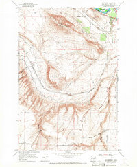 1965 Badger Mtn1967 Print · USGSBenton County in the mid-sixties shows the intersection of the expanding Columbia Basin irrigation network and the historic rail lines. Researchers can trace the path of the Northern Pacific through Badger Canyon and locate rural landmarks like Coyote Springs and the Grange Hall.2 unique versions available
 - 1965 Map of Badger Mtn, 1982 Print
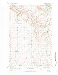 1965 Badger Mtn1982 Print · USGSBenton County agriculture and rail infrastructure are captured here in the mid-1960s as irrigation systems transformed the valley. Genealogists can trace family holdings along Reese Road, locate the Cemetery near Cemetery Road, or find the Grange Hall and Coyote Springs.
 - 1974 Map of Benton City, 1977 Print
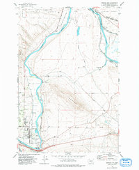 1974 Benton City1977 Print · USGSBenton City and Kiona sit at a vital river bend in the 1970s, where rail lines and irrigation canals meet the shadow of Red Mountain. Genealogists and local historians can trace the foundations of the community through Evergreen Cem, the Kiona-Benton City Sch, and the sprawling Hanford Works boundary.
 - 1978 Map of Richland
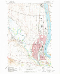 1978 Richland1978 Print · USGSRichland and West Richland are shown in the late seventies as the region functioned as a critical hub for energy and atomic research. Researchers can trace the industrial layout of the Hanford Works or locate local landmarks like the Westie Drive-in Theatre and Resthaven Cem.
 - 1978 Map of Columbia Point
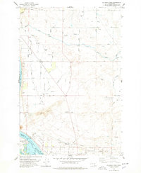 1978 Columbia Point1978 Print · USGSIn the late seventies, the Tri-Cities area was expanding across the high desert and along the shores of Lake Wallula. Researchers can trace the development of irrigation infrastructure and rural settlements through Riverview, the Sand Dunes, and Bateman Island.
 - 1978 Map of Wooded Island, 1979 Print
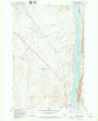 1978 Wooded Island1979 Print · USGSThe Hanford nuclear site and the Columbia River meet in the late seventies, showing a secure industrial landscape during the Cold War. Researchers can trace the path of the U. S. Government Railroad past a Test Facility and islands like Wooded Island.2 unique versions available
 - 1992 Map of Richland
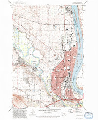 1992 Richland1992 Print · USGSRichland and the edge of the Hanford Site are captured here during the early nineties, showing a city deeply integrated with the Columbia and Yakima rivers. Genealogists and local historians can locate Sunset Mem Gardens and Washington State University, or trace the Richland Terminal RR.
 - 1992 Map of Columbia Point
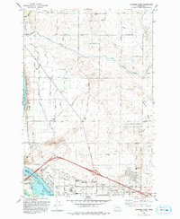 1992 Columbia Point1992 Print · USGSThe Tri-Cities area thrived during the early nineties as irrigation and aviation infrastructure transformed the Franklin County desert. Researchers can trace the development of Riverview, the Tri-Cities Airport, and schools like the James W McGee School.
 - 1992 Map of Wooden Island
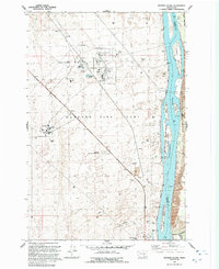 1992 Wooden Island1992 Print · USGSBenton and Franklin Counties were defined by the intersection of nuclear research and river ecology during the early nineties. Researchers can trace the layout of the Fast Flux Test Facility and the 300 Area alongside Wooded Island.
 - 1992 Map of Kennewick
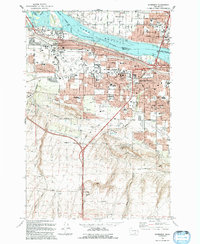 1992 Kennewick1992 Print · USGSKennewick and the Tri-Cities area were in the midst of steady suburban growth during the early nineties. Researchers can trace the development of neighborhoods like West Highlands and South Highlands, and locate landmarks like Vista Field and Kamiakin High Sch.
 - 2011 Map of Richland, 2011 Print
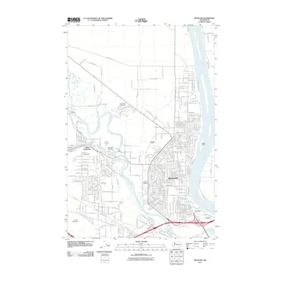 2011 Richland2011 Print · USGSRichland and its western neighbor grew rapidly along the banks of the Columbia and Yakima Rivers in the early twenty-first century. Genealogists and local historians can trace modern development around Resthaven Cemetery, the Richland Airport, and Fox Island.
 - 2011 Map of Badger Mountain, 2011 Print
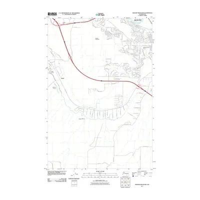 2011 Badger Mountain2011 Print · USGSThe outskirts of Richland and the rugged heights of Badger Mountain are captured here during a period of rapid suburban and rural expansion. Trace irrigation infrastructure like the Columbia Canal alongside local landmarks such as Meadow Springs Dam and Goose Gap.
 - 2011 Map of Benton City, 2011 Print
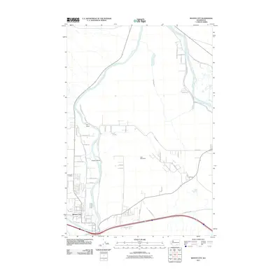 2011 Benton City2011 Print · USGSBenton City and the surrounding Yakima River valley are captured in this early twenty-first-century survey. Researchers can trace local lineage at Evergreen Cemetery or explore the irrigation geography of McWhorter Canal and the peaks of Red Mountain.
 - 2011 Map of Wooded Island, 2011 Print
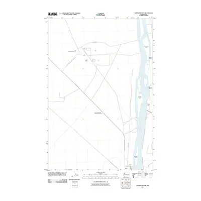 2011 Wooded Island2011 Print · USGSThe Columbia River corridor north of Richland is captured here in the early twenty-first century, showing the unique intersection of river geography and federal land management. Researchers can trace specialized sites like the Wye Radioactive Waste Dump or explore river features such as Wooded Island and Taylor Flat.
 - 2011 Map of Kennewick, 2011 Print
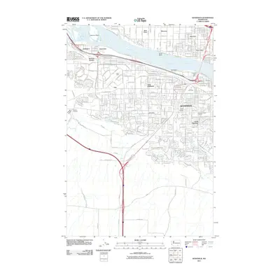 2011 Kennewick2011 Print · USGSThe Tri-Cities area comes into sharp focus during the early twenty-first century as suburban growth spreads across the river valleys. Genealogists and local historians can trace the development of Kennewick alongside sites like Riverview Heights Cemetery and Richland Junction.
 - 2011 Map of Columbia Point, 2011 Print
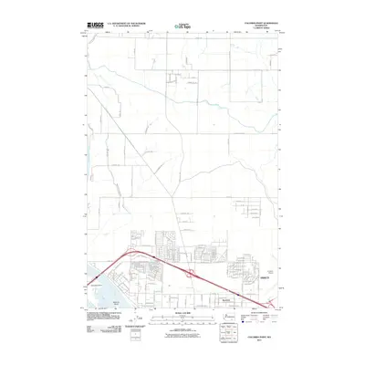 2011 Columbia Point2011 Print · USGSPasco and the riverfront during a period of significant regional growth are documented in this 2011 survey. Local researchers can trace modern neighborhood expansion near Riverview and the Tri-Cities Airport or study the critical irrigation path of the Pasco Pump Lateral Canal.
 - 2013 Map of Benton City, 2013 Print
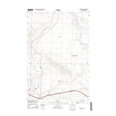 2013 Benton City2013 Print · USGSBenton County at the beginning of the twenty-first century reveals a landscape shaped by the Yakima River and its essential irrigation canals. Genealogists can trace family footprints around Benton City, Evergreen Cemetery, and the settlement of Grosscup.
 - 2013 Map of Kennewick, 2013 Print
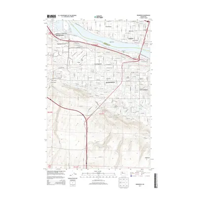 2013 Kennewick2013 Print · USGSThe Tri-Cities region near the confluence of the Columbia and Yakima Rivers is captured here during a period of significant suburban growth. Genealogists and local historians can trace modern street layouts alongside vital irrigation works like the Highland Feeder Canal and landmark locations such as Vista Field Airport and Desert Lawn Memorial Park.
Showing maps 1-25 of 47
Top cities near Richland
- Kennewick historical maps
- Pasco historical maps
- West Richland historical maps
- Benton City historical maps
Top neighborhoods of Richland
- Island View historical maps
- Horn Rapids historical maps
- Queensgate historical maps
- South Richland historical maps
- Gold Coast District historical maps
- Westview Acres historical maps
See more
Frequently asked questions
- What are the different types of historical maps available for Richland?
- What is the oldest map of Richland?
- Where can I purchase historical maps of Richland for my home or office?
- Where can I download high-res historical maps of Richland?
- Are there historical topographic maps available for Richland?
- Is there historical aerial imagery available for Richland?
- Where are historical maps of Richland sourced from?