2000s (21st Century) Maps of Richland, Washington
Explore 30 historic maps of Richland from the 2000s (21st Century). These maps offer a rare glimpse into what life looked like during the 2000s — showing old roads, neighborhoods, homes, and landmarks that have changed or disappeared over time.
Whether you're researching your family's past, planning a metal detecting trip, or studying how Richland's landscape evolved across the 2000s, these high-resolution maps are a powerful tool for exploring the history of this region.
- Focus on a specific era: All maps on this page are from the 2000s, giving you a focused view of this time period.
- See what’s changed: Compare century-old streets, trails, and buildings to today's modern landscape using overlays and satellite layers.
- Research with precision: Use these maps for genealogy, historical research, land use analysis, or educational projects.
- View, download, or print: Maps are fully viewable online in high resolution, and can be downloaded or printed for your own records.
Start exploring Richland's history through authentic maps from the 2000s. This is your window into the past.
Richland, WA maps
(30)- 2011 Map of Richland, 2011 Print
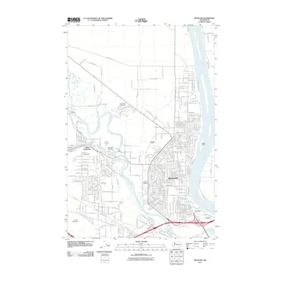 2011 Richland2011 Print · USGSRichland and its western neighbor grew rapidly along the banks of the Columbia and Yakima Rivers in the early twenty-first century. Genealogists and local historians can trace modern development around Resthaven Cemetery, the Richland Airport, and Fox Island.
 - 2011 Map of Badger Mountain, 2011 Print
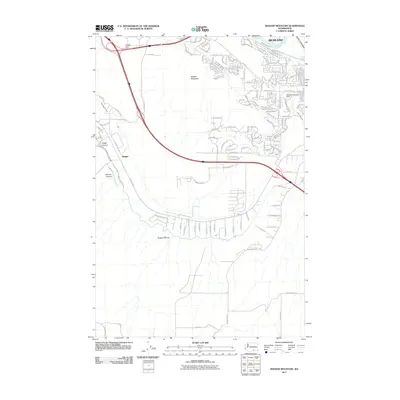 2011 Badger Mountain2011 Print · USGSThe outskirts of Richland and the rugged heights of Badger Mountain are captured here during a period of rapid suburban and rural expansion. Trace irrigation infrastructure like the Columbia Canal alongside local landmarks such as Meadow Springs Dam and Goose Gap.
 - 2011 Map of Benton City, 2011 Print
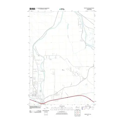 2011 Benton City2011 Print · USGSBenton City and the surrounding Yakima River valley are captured in this early twenty-first-century survey. Researchers can trace local lineage at Evergreen Cemetery or explore the irrigation geography of McWhorter Canal and the peaks of Red Mountain.
 - 2011 Map of Wooded Island, 2011 Print
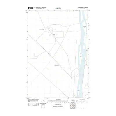 2011 Wooded Island2011 Print · USGSThe Columbia River corridor north of Richland is captured here in the early twenty-first century, showing the unique intersection of river geography and federal land management. Researchers can trace specialized sites like the Wye Radioactive Waste Dump or explore river features such as Wooded Island and Taylor Flat.
 - 2011 Map of Kennewick, 2011 Print
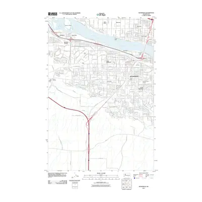 2011 Kennewick2011 Print · USGSThe Tri-Cities area comes into sharp focus during the early twenty-first century as suburban growth spreads across the river valleys. Genealogists and local historians can trace the development of Kennewick alongside sites like Riverview Heights Cemetery and Richland Junction.
 - 2011 Map of Columbia Point, 2011 Print
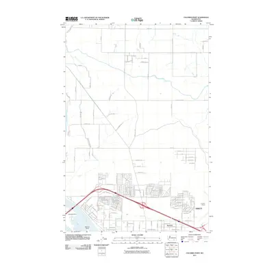 2011 Columbia Point2011 Print · USGSPasco and the riverfront during a period of significant regional growth are documented in this 2011 survey. Local researchers can trace modern neighborhood expansion near Riverview and the Tri-Cities Airport or study the critical irrigation path of the Pasco Pump Lateral Canal.
 - 2013 Map of Benton City, 2013 Print
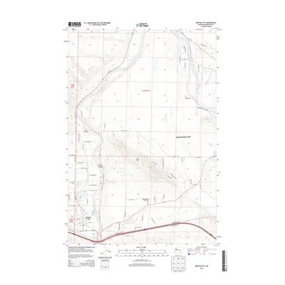 2013 Benton City2013 Print · USGSBenton County at the beginning of the twenty-first century reveals a landscape shaped by the Yakima River and its essential irrigation canals. Genealogists can trace family footprints around Benton City, Evergreen Cemetery, and the settlement of Grosscup.
 - 2013 Map of Kennewick, 2013 Print
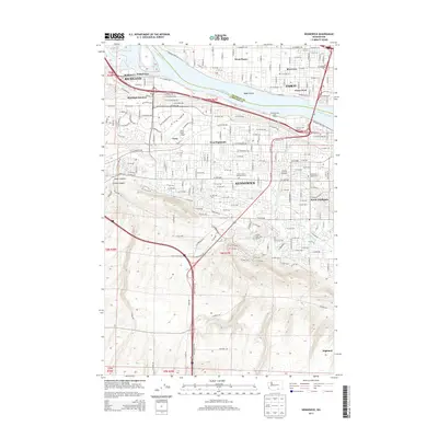 2013 Kennewick2013 Print · USGSThe Tri-Cities region near the confluence of the Columbia and Yakima Rivers is captured here during a period of significant suburban growth. Genealogists and local historians can trace modern street layouts alongside vital irrigation works like the Highland Feeder Canal and landmark locations such as Vista Field Airport and Desert Lawn Memorial Park.
 - 2013 Map of Badger Mountain, 2013 Print
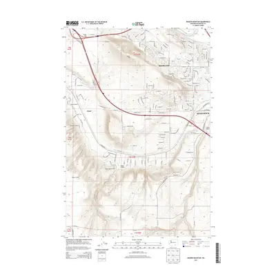 2013 Badger Mountain2013 Print · USGSThe Tri-Cities area in the early twenty-first century shows a landscape in flux between irrigation-fed agriculture and suburban growth. Researchers can trace the development of Richland and Kennewick as they expand toward Badger Mtn and the Horse Heaven Hills.
 - 2014 Map of Richland, 2014 Print
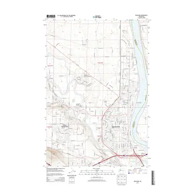 2014 Richland2014 Print · USGSRichland and the surrounding Tri-Cities area are captured here in the early twenty-first century as suburban growth expands along the riverbanks. Researchers can trace development patterns around Richland and West Richland, identifying landmarks like Richland Airport and Resthaven Cem.
 - 2014 Map of Wooded Island, 2014 Print
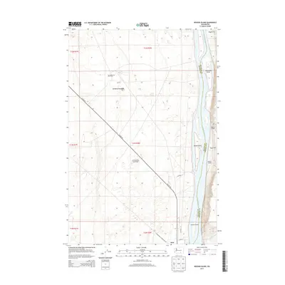 2014 Wooded Island2014 Print · USGSThe Columbia River corridor south of the Hanford site shows a landscape shaped by nuclear-era infrastructure and river geography. Researchers can locate specialized sites like the Wye Radioactive Waste Dump alongside geographical markers like Wooded Island and Ruby.
 - 2014 Map of Columbia Point, 2014 Print
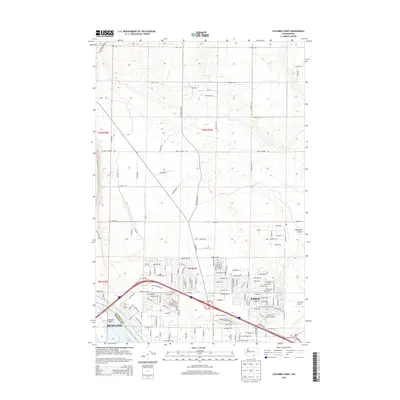 2014 Columbia Point2014 Print · USGSThe Tri-Cities area comes into focus during its early twenty-first-century expansion at the meeting of the Columbia River and local rail lines. Researchers can trace the development of modern neighborhoods around Pasco and Columbia Point, or follow the path of the BNSF Railway through the valley.
 - 2017 Map of Columbia Point, 2017 Print
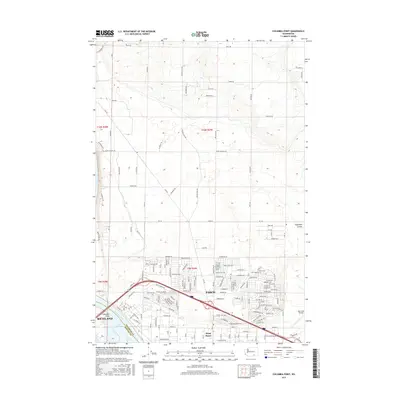 2017 Columbia Point2017 Print · USGSThe Tri-Cities region is shown in its modern era as irrigation and aviation drive the growth of Pasco and Richland. Researchers can trace the development of West Pasco neighborhoods and the vital importance of the Tri-Cities Airport near Lake Wallula.
 - 2017 Map of Benton City, 2017 Print
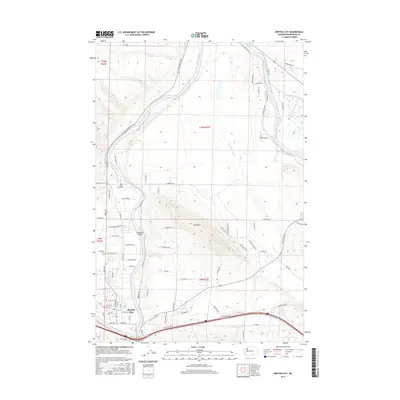 2017 Benton City2017 Print · USGSBenton City and the surrounding hillsides are shown here along the winding Yakima River in the late 2010s. Researchers can trace land use patterns near Red Mtn and locate local landmarks like Evergreen Cem and Songbird Island.
 - 2017 Map of Wooded Island, 2017 Print
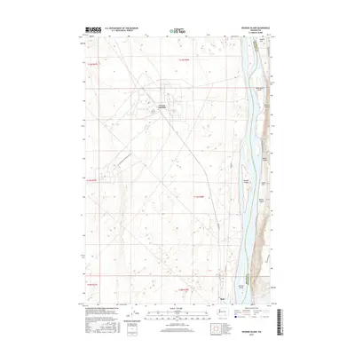 2017 Wooded Island2017 Print · USGSBenton and Franklin counties meet along the wide reach of the Columbia River in this modern survey of the river valley. Researchers can trace landforms and infrastructure including Wooded Island, the tracks of Geneva Junction, and the reach of Taylor Flat.
 - 2017 Map of Richland, 2017 Print
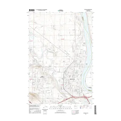 2017 Richland2017 Print · USGSThe Tri-Cities region in the mid-2010s shows a landscape shaped by the Columbia River and significant urban expansion. Researchers can trace the development of Richland and West Richland, locating landmarks like Richland Airport and Candy Mtn.
 - 2017 Map of Kennewick, 2017 Print
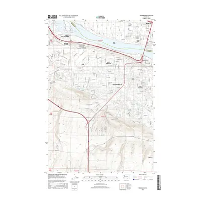 2017 Kennewick2017 Print · USGSThe Tri-Cities area thrives at the bend of the Columbia River in this modern survey of Washington's desert-and-water hub. Researchers can trace intricate irrigation networks like the Highland Feeder Canal and find local landmarks such as Riverview Heights Cem.
 - 2017 Map of Badger Mountain, 2017 Print
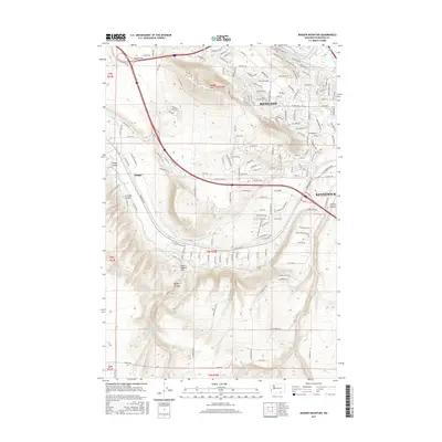 2017 Badger Mountain2017 Print · USGSThe Tri-Cities area is shown during a period of rapid suburban growth into the surrounding foothills. Genealogists and local historians can trace the interface of new neighborhoods with older land features like Badger Mtn, the Columbia Canal, and Goose Gap.
 - 2020 Map of Wooded Island, 2020 Print
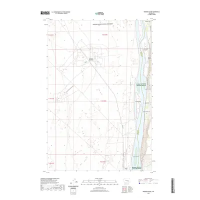 2020 Wooded Island2020 Print · USGSThe Columbia River corridor north of Richland is preserved here at the start of the 2020s. Researchers can trace the river's geography through Wooded Island, find the rail-linked Geneva Junction, or explore the canyon-cut terrain of Ringold Flat.
 - 2020 Map of Badger Mountain, 2020 Print
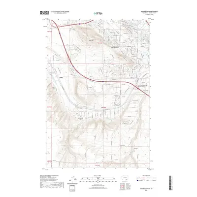 2020 Badger Mountain2020 Print · USGSBenton County at the start of the 2020s shows the continued growth of Richland and Kennewick into the surrounding hills. Genealogists and local historians can trace modern land use alongside vital water systems like the Kennewick Main Canal and landmarks like Badger Mtn.
 - 2020 Map of Kennewick, 2020 Print
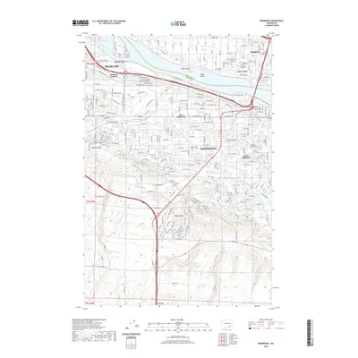 2020 Kennewick2020 Print · USGSThe Tri-Cities area thrives at the junction of desert and river during this era of modern expansion. Genealogists and local historians can trace the growth of Kennewick alongside vital irrigation works like the Highlift Canal and the A P Lateral.
 - 2020 Map of Columbia Point, 2020 Print
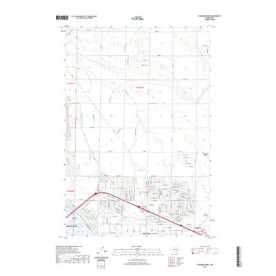 2020 Columbia Point2020 Print · USGSRichland and Pasco are shown at a point of significant modern expansion along the Columbia River and Lake Wallula. Genealogists and local historians can trace the growth of West Pasco neighborhoods near Tri-Cities Airport and follow the irrigation paths of the Franklin County Irrigation Canal.
 - 2020 Map of Richland, 2020 Print
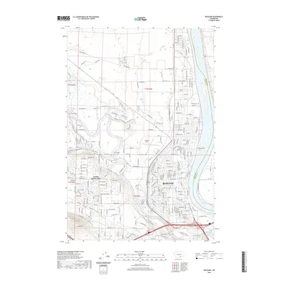 2020 Richland2020 Print · USGSThe Tri-Cities region is captured here as modern suburbs meet the historic Columbia and Yakima rivers. Researchers can trace local development around Richland, locating landmarks like Sunset Memorial Gardens and Richland Airport at the start of the 2020s.
 - 2020 Map of Benton City, 2020 Print
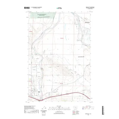 2020 Benton City2020 Print · USGSBenton City and Kiona appear at a vital river bend during a period of modern growth and federal land preservation. Genealogists and researchers can trace local landmarks like Evergreen Cem, the waters of Lost Lake, and the slopes of Red Mtn.
 - 2023 Map of Benton City, 2023 Print
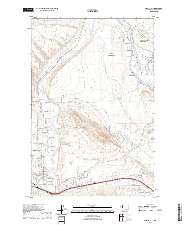 2023 Benton City2023 Print · USGSBenton City and the western reaches of the Tri-Cities are shown in this modern era as the Yakima River basin continues to evolve. Local researchers can trace water rights and land use through the Kiona Canal, Columbia Canal, and the quiet grounds of Evergreen Cem.
Showing maps 1-25 of 30
Top cities near Richland
- Kennewick historical maps
- Pasco historical maps
- West Richland historical maps
- Benton City historical maps
Top neighborhoods of Richland
- Island View historical maps
- Horn Rapids historical maps
- Queensgate historical maps
- South Richland historical maps
- Gold Coast District historical maps
- Westview Acres historical maps
See more
Frequently asked questions
- What are the different types of historical maps available for Richland?
- What is the oldest map of Richland?
- Where can I purchase historical maps of Richland for my home or office?
- Where can I download high-res historical maps of Richland?
- Are there historical topographic maps available for Richland?
- Is there historical aerial imagery available for Richland?
- Where are historical maps of Richland sourced from?