Old Maps of Chelan, Washington for Academic Research
Study the evolution of Chelan with 20 high-resolution historic maps. Whether you're teaching, researching, or modeling changes in land use, these maps provide essential visual documentation of urban, environmental, and geographic change.
- Analyze long-term change: Track patterns in development, transportation, and natural features.
- Ideal for environmental or urban studies: Support academic projects with primary historical map data.
- Use in the classroom or lab: Educators and researchers rely on these maps to bring historical context to life.
These maps are a powerful tool for teaching, research, and visualizing how Chelan has changed over the decades.
Chelan, WA maps
(20)- 1901 Map of Chelan
 1901 Chelan1901 Print · USGSNorth Central Washington is captured at the dawn of the twentieth century, showing the early development of the lake and river valleys. Researchers can trace the original Wapato Indian Reservation boundary and locate early townsites like Lakeside and Waterville.6 unique versions available
 - 1953 Map of Ritzville, 1966 Print
 1953 Ritzville1966 Print · USGSEastern Washington was undergoing a massive agricultural and industrial transformation in the mid-fifties as irrigation from the Grand Coulee Dam reached the plateau. Researchers can trace the mid-century rail network of the Great Northern and locate vital local sites like Larson Air Force Base and Odessa.3 unique versions available
 - 1957 Map of Wenatchee, 1973 Print
 1957 Wenatchee1973 Print · USGSThe northern Cascades and Columbia River valley appear here in the mid-fifties, showing the region's critical rail and transit corridors. Researchers can trace the routes of the Great Northern RR and Milwaukee Road through settlements like Skykomish, Baring, and Dryden.2 unique versions available
 - 1959 Map of Ritzville
 1959 Ritzville1959 Print · USGSEastern Washington in the late fifties reveals a landscape transformed by massive irrigation projects and postwar growth. Genealogists and historians can trace rail-line communities from Ritzville to Davenport and locate landmarks like Larson Air Force Base and Telford Station.
 - 1965 Map of Ritzville
 1965 Ritzville1965 Print · USGSCentral Washington during the mid-sixties shows a landscape shaped by massive irrigation projects and the Cold War. Genealogists and historians can trace rail-town life and military presence through Ephrata Air Base, the Telford Station, and local schools.
 - 1968 Map of Chelan, 1971 Print
 1968 Chelan1971 Print · USGSThe town of Chelan and the southeastern tip of its namesake lake are documented here in the late sixties as the area transitioned into a regional recreation center. Researchers can find lakeside settlements like Lakeside and Minneapolis Beach, trace the Burlington Northern rail line, or locate the Chelan Fraternal Cem.3 unique versions available
 - 1968 Map of Chelan Falls, 1971 Print
 1968 Chelan Falls1971 Print · USGSThe Columbia River corridor south of Chelan shows a landscape of high plateaus and riverfront industry in the late sixties. Trace the old rail lines through Chelan Station or locate family sites at Riverview Cem and the settlement of Beebe.2 unique versions available
 - 1975 Map of Chelan, 1977 Print
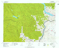 1975 Chelan1977 Print · USGSThe northern Cascades meet the Columbia River in the mid-seventies, showing the deep glacial valleys and high plateaus of central Washington. Trace the legacy of mountain railroading through Tumwater Canyon and explore the lakeshore communities of Manson and Lakeside.2 unique versions available
 - 2004 Map of Chelan Falls, 2008 Print
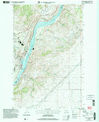 2004 Chelan Falls2008 Print · USGSThe Columbia River valley underwent significant development by the early 2000s, balancing industrial infrastructure with protected wilderness. Researchers can trace the layout of Chelan Falls, locate the Riverview Cem, or identify landmarks like the Chelan State Fish Hatchery.
 - 2004 Map of Chelan, 2008 Print
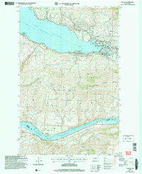 2004 Chelan2008 Print · USGSChelan and the southern tip of its namesake lake are shown in the early 2000s, captured before the intensification of modern development. Researchers can trace the waterfront through Lakeside, locate the Chelan Fraternal Cem, and explore the terrain of Chelan Butte.
 - 2011 Map of Chelan, 2011 Print
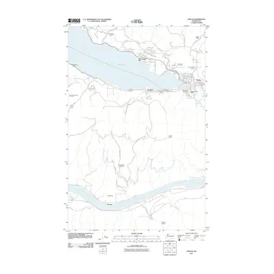 2011 Chelan2011 Print · USGSChelan and its lakefront communities are captured in the early twenty-first century as they balance tourism and topography. Genealogists and historians can trace the town's footprint from the Chelan Fraternal Cemetery to landmarks like the Woodin Avenue Bridge and the Lake Chelan Dam.
 - 2011 Map of Chelan Falls, 2011 Print
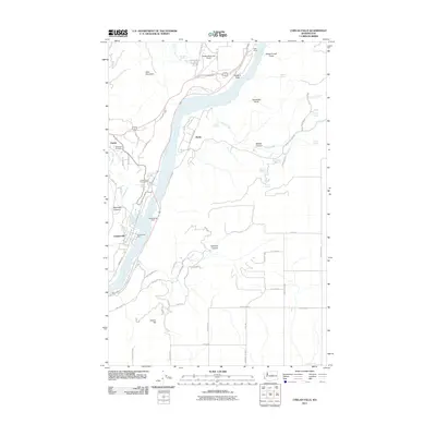 2011 Chelan Falls2011 Print · USGSChelan and its surrounding fruit-growing benches come alive in this early 21st-century survey of the Columbia River valley. Researchers can trace the development of Howard Flats, find the Riverview Cemetery, and locate essential local hubs like the Chelan State Fish Hatchery.
 - 2014 Map of Chelan Falls, 2014 Print
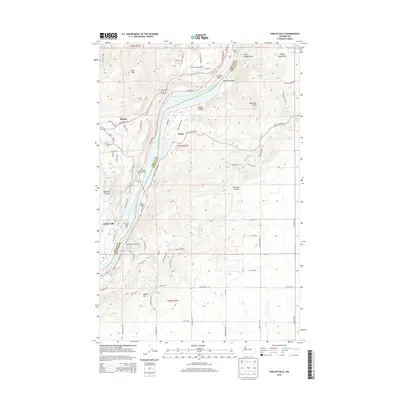 2014 Chelan Falls2014 Print · USGSThe Columbia River valley south of Chelan is captured here in the early twenty-first century as it flows past the orchards and plateaus of Howard Flats. Researchers can trace the local landscape through landmarks like Riverview Cem, the Chelan State Fish Hatchery, and the riverside settlement at Chelan Falls.
 - 2014 Map of Chelan, 2014 Print
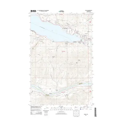 2014 Chelan2014 Print · USGSLake Chelan and its eastern outlets were hubs of mountain commerce and transport in the early twenty-first century. Researchers can trace the waterfront development of Lakeside and Minneapolis Beach, or locate the Chelan Ferry Landing and Chelan Fraternal Cem.
 - 2017 Map of Chelan, 2017 Print
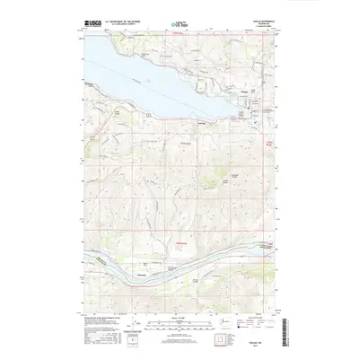 2017 Chelan2017 Print · USGSChelan and its surrounding lakefront and riverfront communities are captured here in the late 2010s. Local researchers can trace family landmarks like the Chelan Fraternal Cem, the historic Woodin Avenue Bridge, and old settlements at Lakeside and Stayman.
 - 2017 Map of Chelan Falls, 2017 Print
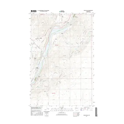 2017 Chelan Falls2017 Print · USGSThe Columbia River corridor near Chelan and Beebe is captured here in the mid-2010s, showing the high-desert plateau and river canyon topography. Local researchers can locate Riverview Cem, the Lake Chelan Airport, and numerous family-named landmarks like McNeil Canyon and Buckner Spring.
 - 2020 Map of Chelan, 2020 Print
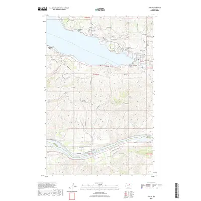 2020 Chelan2020 Print · USGSChelan and the southern tip of its namesake lake appear in high detail at the start of the 2020s. Researchers can trace the modern town grid from Lakeside to Chelan, or locate historic landmarks like Chelan Fraternal Cem and the banks of Lake Entiat.
 - 2020 Map of Chelan Falls, 2020 Print
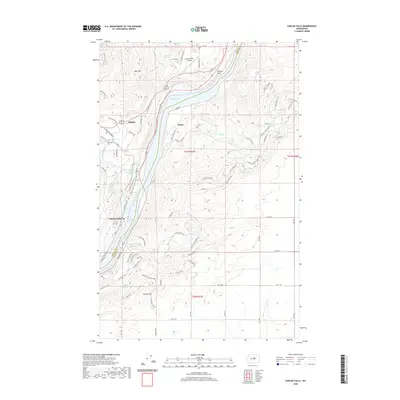 2020 Chelan Falls2020 Print · USGSThe Columbia River valley serves as a dramatic centerpiece for this 2020 survey of central Washington. Researchers can trace the layout of Chelan Falls, locate the hillside Riverview Cem, and identify numerous named water sources like North Beebe Spring.
 - 2023 Map of Chelan Falls, 2023 Print
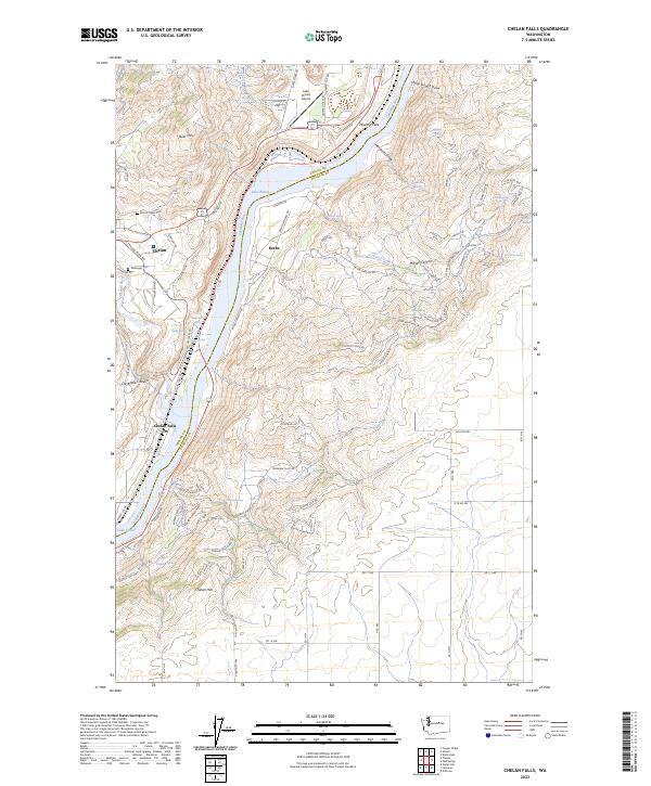 2023 Chelan Falls2023 Print · USGSChelan and Douglas counties are shown at the Columbia River's edge in this modern survey. You can trace the development of Chelan Falls and Beebe, or locate local landmarks like Mount Olivet Cem and Lake Entiat.
 - 2023 Map of Chelan, 2023 Print
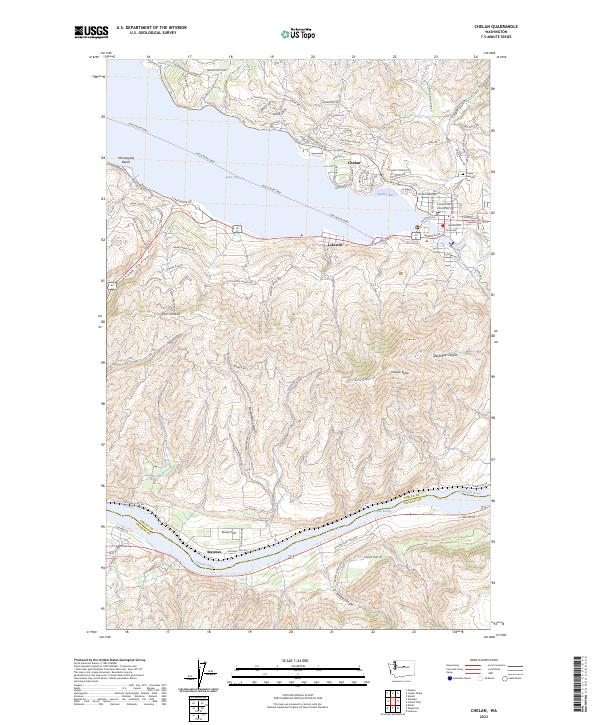 2023 Chelan2023 Print · USGSChelan and its lakefront communities are captured in this modern survey of north-central Washington. Researchers can trace the water-bound economy via the Lake Chelan Ferry and locate local landmarks like the Chelan Fraternal Cem and Lakeside.
End of results
Showing maps 1-20 of 20
Top cities near Chelan
Top neighborhoods of Chelan
Frequently asked questions
- What are the different types of historical maps available for Chelan?
- What is the oldest map of Chelan?
- Where can I purchase historical maps of Chelan for my home or office?
- Where can I download high-res historical maps of Chelan?
- Are there historical topographic maps available for Chelan?
- Is there historical aerial imagery available for Chelan?
- Where are historical maps of Chelan sourced from?