Old Maps of Forks, Washington for Hiking & Exploration
Hike through history with 19 historic maps of Forks. Explore old trails, ghost towns, and forgotten backroads — perfect for outdoor adventurers and local explorers.
- Rediscover forgotten places: Map out old mining camps, roads, and footpaths that no longer exist on modern maps.
- Layer with modern tools: Combine with LiDAR or satellite views to plan hikes through historical terrain.
- Made for exploration: Popular among hikers, overlanders, and local history lovers.
Use these maps to find adventure and explore the hidden past of Forks.
Forks, WA maps
(19)- 1939 Map of Forks
 1939 Forks1939 Print · USGSThe Olympic Peninsula logging and oil frontier comes into focus here just before the Second World War. Researchers can trace family homesteads like the Otto Dimmel Ranch alongside industrial landmarks like the Bloedel Donovan Beaver Camp and Oil City Camp.
 - 1943 Map of Copalis Beach
 1943 Copalis Beach1943 Print · USGSThe Washington coast in the 1940s is detailed here from the Olympic Peninsula to the Columbia River. Trace old beach settlements like Moclips and Copalis Beach alongside landmarks like the Willapa Bay Lighthouse.
 - 1951 Map of Copalis Beach
 1951 Copalis Beach1951 Print · USGSThe Olympic Peninsula's rugged coast and tribal lands are meticulously detailed in the early 1950s. Genealogists and historians can trace the foundations of coastal communities from Taholah to La Push or locate early markers like the James Island Lighthouse.
 - 1957 Map of Forks, 1959 Print
 1957 Forks1959 Print · USGSThe Olympic Peninsula comes into focus in the late fifties as timber and early oil exploration shape the landscape. Researchers can trace the Logging Railroad near Forks, locate the Cassel Sch, and find the remote Wilson Ranch.3 unique versions available
 - 1957 Map of Copalis Beach, 1968 Print
 1957 Copalis Beach1968 Print · USGSThe Washington coast during the late fifties reveals a landscape of tribal reservations and timber towns linked by the Northern Pacific RR. Trace family history and land patterns near Forks Cemetery, the shingle mill, or coastal landings like Taholah and Oysterville.2 unique versions available
 - 1963 Map of Copalis Beach
 1963 Copalis Beach1963 Print · USGSThe Washington coast in the early sixties reveals a landscape of massive timber reserves, indigenous lands, and quiet seaside villages. Genealogists and historians can trace the foundations of coastal life through sites like Lone Fir Cemetery, the Dismantled RR, and the historic oyster beds of Oysterville.
 - 1981 Map of Forks, 1982 Print
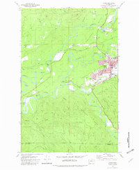 1981 Forks1982 Print · USGSThe convergence of the Soleduck River, Calawah River, and Bogachiel River defines this Olympic Peninsula town in the early eighties. Trace local landmarks like the Community Hosp, Municipal Airport, and the Old RR Grade.
 - 1981 Map of Reade Hill, 1982 Print
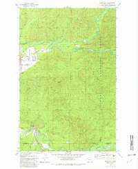 1981 Reade Hill1982 Print · USGSThe Olympic Peninsula logging town of Forks is shown in the early eighties as it expanded into the surrounding timberlands. Genealogists and local historians can trace the early streets of Forks, the local Cem, and the recreation sites at Bogachiel State Park.
 - 1988 Map of Forks
 1988 Forks1988 Print · USGSThe Olympic Peninsula's western coastline and timber heartland are documented here in the late eighties, from the high ridges to the Pacific shelf. Local researchers can trace the coastal settlements of La Push and Mora or locate remote sites like Destruction Island.
 - 2011 Map of Forks, 2011 Print
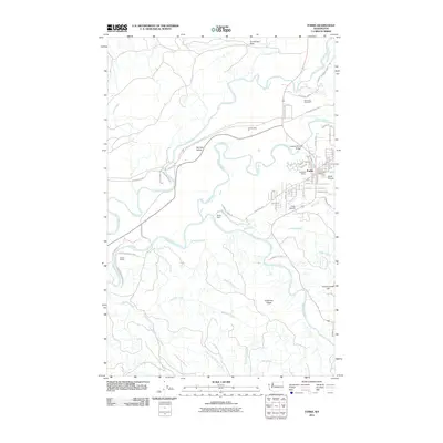 2011 Forks2011 Print · USGSForks and the surrounding Olympic Peninsula wilderness are documented here in the early twenty-first century as the timber town grew. Local historians can trace the development of Forks Prairie and find industrial landmarks like Old Smokey Pit or the Forks Dam.
 - 2011 Map of Reade Hill, 2011 Print
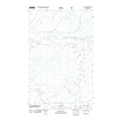 2011 Reade Hill2011 Print · USGSThe western Olympic Peninsula comes into focus in this early 2010s survey, capturing the river-laced timberlands surrounding Forks. Genealogists and researchers can trace local landmarks like Forks Cemetery or navigate the backcountry roads near Klahane Campground and the Bogachiel River.
 - 2014 Map of Reade Hill, 2014 Print
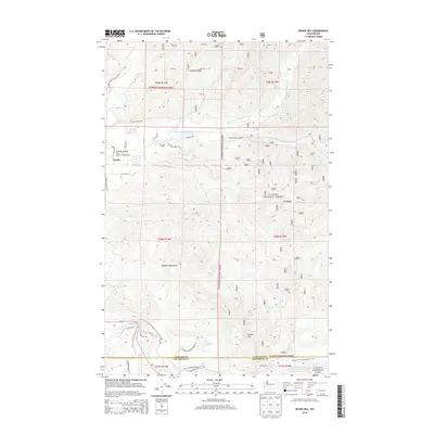 2014 Reade Hill2014 Print · USGSThe Olympic Peninsula's timber and river corridors are captured here in the mid-2010s, centered on the western gateway of Forks. Researchers can trace the local landscape from the Forks Cem to the high points of Reade Hill and the Olympic Mountains.
 - 2014 Map of Forks, 2014 Print
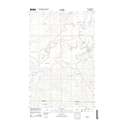 2014 Forks2014 Print · USGSThe river-rich valley of the Olympic Peninsula comes into focus here during the early 2010s. Researchers can trace the local landscape through landmarks like Wilson Ranch, Forks Prairie, and the intricate river systems of the Sol Duc River and Calawah River.
 - 2017 Map of Forks, 2017 Print
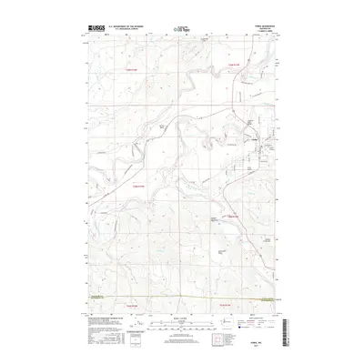 2017 Forks2017 Print · USGSThe Olympic Peninsula timber country around the town of Forks is shown here in the late twenty-tens, situated between the Sol Duc River and Bogachiel River. Researchers can trace the local road network through Forks Prairie, locate the Forks Airport, and explore the high ground of Anderson Ridge.
 - 2017 Map of Reade Hill, 2017 Print
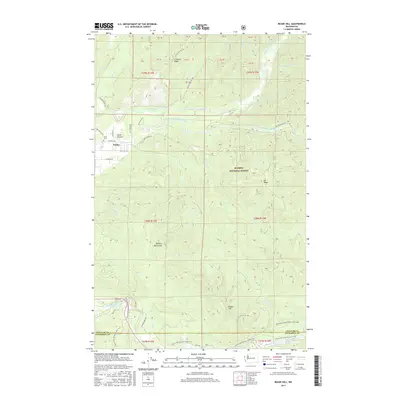 2017 Reade Hill2017 Print · USGSThe timberlands and river valleys of the Olympic Peninsula come into focus here during the late 2010s. Researchers can trace the boundaries of the Olympic National Forest and locate specific local landmarks like Forks Cem, Undi Lake, and Reade Hill.
 - 2020 Map of Forks, 2020 Print
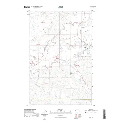 2020 Forks2020 Print · USGSForks and the surrounding Olympic Peninsula river valleys are documented here during the early twenty-first century. Researchers can trace the layout of Forks, locate the Forks Airport, and follow the winding courses of the Sol Duc River and Calawah River.
 - 2020 Map of Reade Hill, 2020 Print
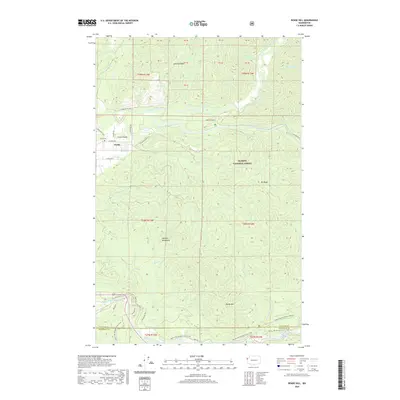 2020 Reade Hill2020 Print · USGSForks and the Olympic Peninsula foothills are captured here in the recent decade, showing the town's layout alongside its historic burial ground. Researchers can trace the path of the Pacific NW National Scenic Trail or locate family sites near Forks-Prairie and Undi Lake.
 - 2023 Map of Forks, 2023 Print
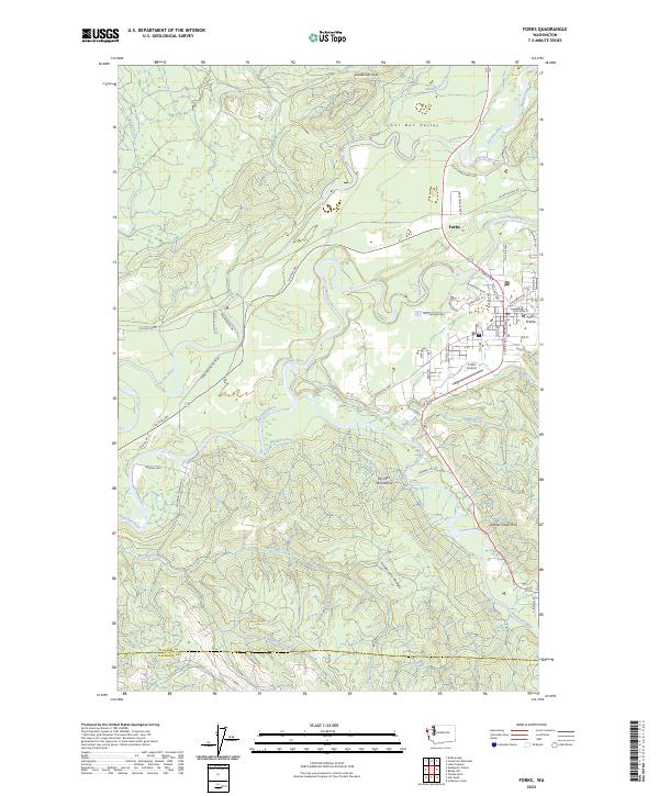 2023 Forks2023 Print · USGSThe Olympic Peninsula town of Forks is shown in 2023 at the confluence of several major rivers. Researchers can trace the layout of Forks Prairie, the Forks Airport, and high points like Grader Creek Hill.
 - 2023 Map of Reade Hill, 2023 Print
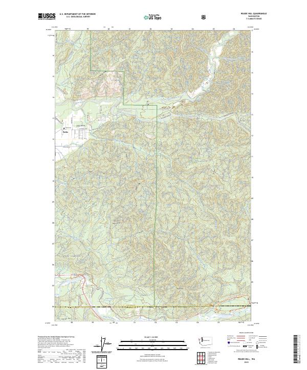 2023 Reade Hill2023 Print · USGSThe western Olympic Peninsula is captured here in the early twenty-first century, centered on the growing community of Forks and the surrounding river valleys. Researchers can trace the layout of Forks Prairie, the Forks Cem, and various forest routes like Sitkum Solduc Rd.
End of results
Showing maps 1-19 of 19
Frequently asked questions
- What are the different types of historical maps available for Forks?
- What is the oldest map of Forks?
- Where can I purchase historical maps of Forks for my home or office?
- Where can I download high-res historical maps of Forks?
- Are there historical topographic maps available for Forks?
- Is there historical aerial imagery available for Forks?
- Where are historical maps of Forks sourced from?