1950s Maps of Clark County, Washington
Explore 25 historic maps of Clark County from the 1950s. These maps offer a rare glimpse into what life looked like during the 1950s — showing old roads, neighborhoods, homes, and landmarks that have changed or disappeared over time.
Whether you're researching your family's past, planning a metal detecting trip, or studying how Clark County's landscape evolved across the 1950s, these high-resolution maps are a powerful tool for exploring the history of this region.
- Focus on a specific era: All maps on this page are from the 1950s, giving you a focused view of this time period.
- See what’s changed: Compare century-old streets, trails, and buildings to today's modern landscape using overlays and satellite layers.
- Research with precision: Use these maps for genealogy, historical research, land use analysis, or educational projects.
- View, download, or print: Maps are fully viewable online in high resolution, and can be downloaded or printed for your own records.
Start exploring Clark County's history through authentic maps from the 1950s. This is your window into the past.
Clark County, WA maps
(25)- 1950 Map of Vancouver
 1950 Vancouver1950 Print · USGSCoastal Oregon and the lower Columbia River valley are captured in detail just after the war. Researchers can trace historic rail routes like the Southern Pacific or locate early settlements such as Vernonia, Gaston, and the Grand Ronde Indian Reservation.
 - 1950 Map of Vancouver, 1951 Print
 1950 Vancouver1951 Print · USGSThe Pacific Northwest urban corridor meets the rugged coast in the years following the war, showing the expansion of Portland and Vancouver. Genealogists and historians can trace the reach of the Southern Pacific RR and locate coastal communities like Tillamook, Seaside, and Tolovana Park.
 - 1953 Map of Hoquiam
 1953 Hoquiam1953 Print · USGSSouthwest Washington in the early fifties shows a landscape shaped by timber, rail, and river commerce from the coast to the Cascades. Genealogists and historians can trace the development of timber towns like Ryderwood and the industrial hubs of Hoquiam and Kelso.2 unique versions available
 - 1953 Map of Lookout Mtn, 1956 Print
 1953 Lookout Mtn1956 Print · USGSThe deep forests of Skamania County come into focus during the early fifties, showing a landscape of lookouts and timber management. Genealogists and historians can trace the locations of the Mineral Springs Guard Station, early sites like Spring Camp, and the winding East Fork Lewis River.3 unique versions available
 - 1953 Map of Cougar, 1958 Print
 1953 Cougar1958 Print · USGSThe foothills of the Cascades come to life in the early 1950s, showing the early infrastructure of the Gifford Pinchot National Forest. Genealogists and historians can trace the local timber economy through the Sawmill near Cougar and the original sites of the Kalama Ranger Sta and Herrington Place (Site).4 unique versions available
 - 1954 Map of Battle Ground, 1955 Print
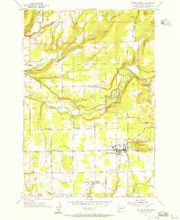 1954 Battle Ground1955 Print · USGSBattle Ground and the surrounding Clark County countryside are captured here in the mid-fifties as the rural landscape centered on river and rail. Trace the vanished Bee Tree Sch (Aband), the early buildings of Columbia Academy, and the small-town layout of Meadow Glade and Dollar Corner.3 unique versions available
 - 1954 Map of Portland, 1956 Print
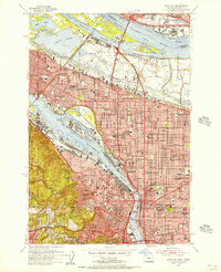 1954 Portland1956 Print · USGSMid-century Portland and Vancouver appear in high detail during an era of significant post-war industrial and urban transition. Genealogists and researchers can locate the Vanport City (Site), the Swan Island Shipyard, and many parish schools such as St Andrews Sch.
 - 1954 Map of Ridgefield, 1956 Print
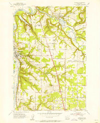 1954 Ridgefield1956 Print · USGSRidgefield and La Center sit at the heart of Clark County in the mid-fifties, shaped by the winding courses of the Lewis River and its East Fork. Genealogists and historians can trace early school sites and local landmarks like Mt Zion Cemetery, Bethel Church, and the Pekin Ferry Road.3 unique versions available
 - 1954 Map of Orchards, 1956 Print
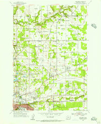 1954 Orchards1956 Print · USGSGreater Vancouver and the Fourth Plain are captured here in the mid-fifties, during a period of steady suburban expansion into the surrounding orchards. Genealogists can locate family names at Wilson Cemetery and Bethel Cem or trace rural school sites like Glenwood School.
 - 1954 Map of Sauvie Island, 1956 Print
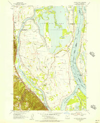 1954 Sauvie Island1956 Print · USGSSauvie Island and the Columbia River confluence are shown in detail during the mid-fifties, capturing a landscape of levees, sloughs, and river landings. Trace family roots and local history at Burlington, the Sauvie Island School, and the Spokane Portland and Seattle RR line.
 - 1954 Map of Lacamas Creek, 1956 Print
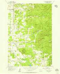 1954 Lacamas Creek1956 Print · USGSMid-century Clark County comes into focus as a landscape of rural crossroads and military outposts before the arrival of modern suburban expansion. Genealogists and historians can trace family-named sites like Brunner Hill or locate the historic China Ditch and Camp Bonneville.4 unique versions available
 - 1954 Map of Mount Tabor, 1956 Print
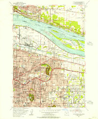 1954 Mount Tabor1956 Print · USGSEast Portland and Vancouver are captured in the mid-fifties as suburban grids expanded around volcanic landmarks. Trace early neighborhoods near Mount Tabor and Rocky Butte, or locate family sites by Rose City Cemetery and Parkrose.
 - 1954 Map of Vancouver, 1957 Print
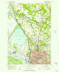 1954 Vancouver1957 Print · USGSMid-century Vancouver and the Columbia River lowlands are captured here as the region's industrial and institutional footprint expanded. Genealogists and local historians can trace the foundations of the city at Providence Academy, Barnes Gen Hosp, and the Salmon Creek Cemetery.
 - 1954 Map of St. Helens, 1957 Print
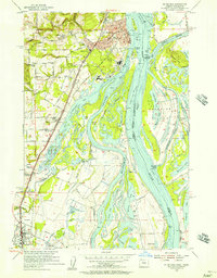 1954 St. Helens1957 Print · USGSThe Columbia River waterfront at St. Helens and Scappoose is shown in the mid-fifties, just as the regional transport network was maturing. Researchers can trace old property access via Robinette Road or locate vanished landmarks like the McBride Sch and Ridgefield Ferry.3 unique versions available
 - 1954 Map of Washougal, 1957 Print
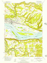 1954 Washougal1957 Print · USGSThe Columbia River corridor in the mid-1950s shows the vital connection between river traffic, rail, and early highways. Genealogists can trace family names and local sites from Washougal down to Corbett, including Cemetery Hill and the Gause Sch.
 - 1954 Map of Camas, 1957 Print
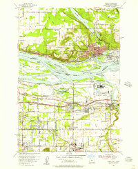 1954 Camas1957 Print · USGSThe Columbia River corridor hums with post-war activity in the mid-fifties as industrial sites and new expressways reshape the borderlands. Genealogists and local historians can locate early landmarks like Fern Prairie Cemetery and several abandoned schoolhouses including Grass Valley Sch (Aban'd).
 - 1954 Map of La Center, 1957 Print
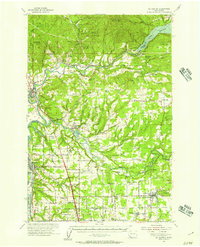 1954 La Center1957 Print · USGSThe Clark and Cowlitz county borderlands in the mid-1950s show a mix of river-valley agriculture and rugged uplands. Researchers can trace rural school consolidation at Enterprise Sch or locate ancestors at Highland Cem and Dublin Cem.2 unique versions available
 - 1954 Map of Bridal Veil, 1958 Print
 1954 Bridal Veil1958 Print · USGSThe Columbia River Gorge in the mid-1950s was a bustling corridor of rail lines and early highways. Genealogists and historians can trace the foundations of riverside communities like Bridal Veil and Dodson or locate industrial sites like the Skamania Mine.4 unique versions available
 - 1954 Map of Camas, 1958 Print
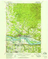 1954 Camas1958 Print · USGSThe Columbia River corridor in the mid-fifties shows the industrial growth of Camas and Washougal alongside the evolving suburbs of Gresham and Troutdale. Researchers can trace old school districts like Norway Sch and follow the S P & S RY through the river valley.3 unique versions available
 - 1954 Map of St Helens, 1962 Print
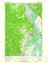 1954 St Helens1962 Print · USGSThe Columbia River waterfront and its surrounding timberlands are captured here in the mid-1950s. Genealogists and researchers can trace the locations of rural schools and landmarks like the Wilark Guard Station, Shiloh Basin Cemetery, and Bachelor Flat.2 unique versions available
 - 1956 Map of Yacolt, 1958 Print
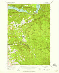 1956 Yacolt1958 Print · USGSIn the mid-1950s, the Clark County foothills were a landscape of logging camps and river power before the height of modernization. Researchers can trace the Northern Pacific Railroad route or locate family sites at Gravel Point Cem and the settlement of Venersborg.2 unique versions available
 - 1957 Map of Hoquiam
 1957 Hoquiam1957 Print · USGSCoastal timber ports and inland rail hubs define Southwest Washington during the late fifties. Genealogists can trace early twentieth-century settlements like Bordeaux, Tono, and Cosmopolis alongside the expanding tracks of the Northern Pacific.
 - 1958 Map of Mt St. Helens, 1959 Print
 1958 Mt St. Helens1959 Print · USGSThe peaks and forests of Skamania County appear here in the late fifties, just as the Lewis River was being transformed by hydroelectric development. Hikers and historians can trace old routes like St Helens Way and locate early camps including Butte Camp and Jackpine Shelter.3 unique versions available
 - 1958 Map of Vancouver, 1968 Print
 1958 Vancouver1968 Print · USGSThe Lower Columbia and Willamette valleys thrive in the late sixties as major rail and river hubs. Genealogists and historians can trace the development of Portland, identify the grounds of Camp Withycombe, and locate coastal landmarks from Tillamook Head to Garibaldi.3 unique versions available
 - 1958 Map of Hoquiam, 1969 Print
 1958 Hoquiam1969 Print · USGSSouthwest Washington and the Columbia River estuary appear here in the mid-century, before major landscape shifts. Researchers can trace the rail lines of the Northern Pacific, locate the Fort Henness Site, or explore the Naselle Air Force Station.2 unique versions available
End of results
Showing maps 1-25 of 25
Top cities of Clark County
- Vancouver historical maps
- Camas historical maps
- Battle Ground historical maps
- Washougal historical maps
- Ridgefield historical maps
- La Center historical maps
See more
Frequently asked questions
- What are the different types of historical maps available for Clark County?
- What is the oldest map of Clark County?
- Where can I purchase historical maps of Clark County for my home or office?
- Where can I download high-res historical maps of Clark County?
- Are there historical topographic maps available for Clark County?
- Is there historical aerial imagery available for Clark County?
- Where are historical maps of Clark County sourced from?