2020s Maps of Clark County, Washington
Explore 49 historic maps of Clark County from the 2020s. These maps offer a rare glimpse into what life looked like during the 2020s — showing old roads, neighborhoods, homes, and landmarks that have changed or disappeared over time.
Whether you're researching your family's past, planning a metal detecting trip, or studying how Clark County's landscape evolved across the 2020s, these high-resolution maps are a powerful tool for exploring the history of this region.
- Focus on a specific era: All maps on this page are from the 2020s, giving you a focused view of this time period.
- See what’s changed: Compare century-old streets, trails, and buildings to today's modern landscape using overlays and satellite layers.
- Research with precision: Use these maps for genealogy, historical research, land use analysis, or educational projects.
- View, download, or print: Maps are fully viewable online in high resolution, and can be downloaded or printed for your own records.
Start exploring Clark County's history through authentic maps from the 2020s. This is your window into the past.
Clark County, WA maps
(49)- 2020 Map of Dole, 2020 Print
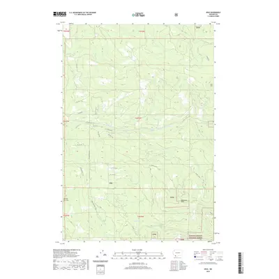 2020 Dole2020 Print · USGSThe foothills of Clark County come into focus during the early twenty-first century, centered on the settlement of Dole. Genealogists and hikers can trace the Bells Mountain Trail and identify local landmarks like Horseshoe Falls or the Yacolt Reservoir.
 - 2020 Map of Ridgefield, 2020 Print
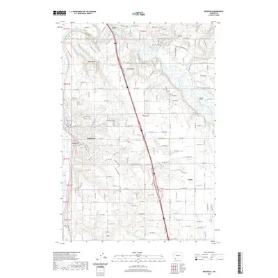 2020 Ridgefield2020 Print · USGSRidgefield and the Lewis River valley are captured here in the 2020s, showing the modern layout of Clark County's historic river towns. Genealogists and local historians can trace family sites at the Pioneer Cem, Mount Zion Cem, and the old settlement of Sara.
 - 2020 Map of Lacamas Creek, 2020 Print
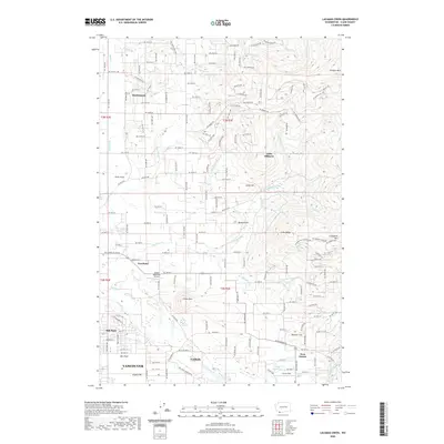 2020 Lacamas Creek2020 Print · USGSNear the foothills of the Cascades in the 2020s, this area shows the blend of rural tradition and growing residential hubs like Hockinson and Proebstel. Researchers can trace local aviation history at Green Mountain Airport or locate family landmarks near Livingston Mtn and Grove Field.
 - 2020 Map of Woodland, 2020 Print
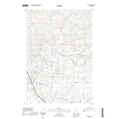 2020 Woodland2020 Print · USGSWoodland and the Lewis River valley are captured here at the start of the 2020s, showing a mix of growing river towns and upland homesteads. Genealogists and local researchers can trace old family sites near Cowlitz Cem, Hayes, and the rural crossroads of Pine Grove.
 - 2020 Map of Orchards, 2020 Print
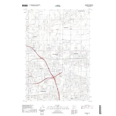 2020 Orchards2020 Print · USGSThe growing suburbs of Vancouver and Battle Ground are captured here during a period of rapid development. Researchers can trace family history through numerous local sites like Brush Prairie Cem or locate former landmarks like the Fly for Fun Airport.
 - 2020 Map of Amboy, 2020 Print
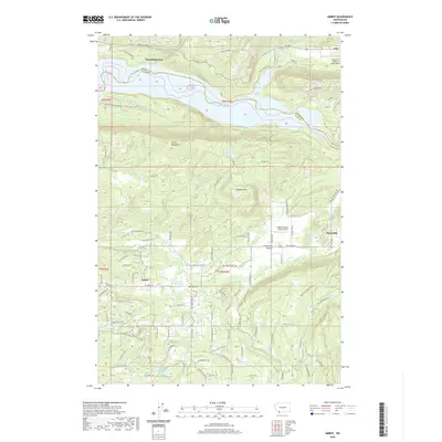 2020 Amboy2020 Print · USGSAmboy and the surrounding prairie country are documented here in the early twenty-first century as the region maintains its rural timber and aviation character. Researchers can trace land use through features like Columbia Tie Mill Pond, Chelatchie Prairie, and the Mount St Helen's Aero Ranch.
 - 2020 Map of Battle Ground, 2020 Print
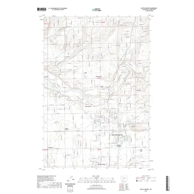 2020 Battle Ground2020 Print · USGSThe growing city of Battle Ground and its surrounding Clark County countryside are documented here in the early twenty-first century. Researchers can trace local landmarks from Tukes Mtn to the East Fork Lewis River, or locate historical sites like Dublin Cem and Fairview Schoolhouse.
 - 2020 Map of Gumboot Mountain, 2020 Print
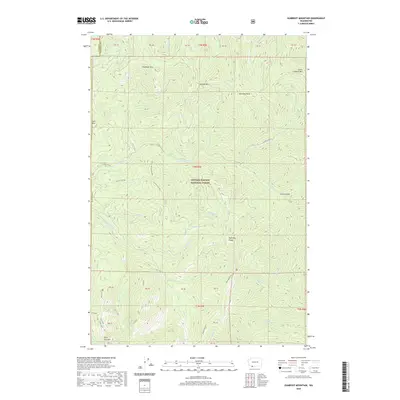 2020 Gumboot Mountain2020 Print · USGSThe Gifford Pinchot National Forest backcountry in the early 2020s remains a landscape of high ridges and deep river canyons. Genealogists and hikers can trace historic routes like Ed's Trail and Starway near landmarks such as Silver Star Mtn and Gumboot Mtn.
 - 2020 Map of Washougal, 2020 Print
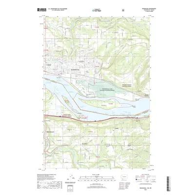 2020 Washougal2020 Print · USGSThe Columbia River corridor near the Washington-Oregon border is shown here in its modern era, spanning from the heights of the Columbia Gorge to the valley floor. Genealogists and local historians can locate several burial grounds, including Sunnyside Cem and Mountain View Cem, alongside rural landmarks like the Pleasant Farm Airport.
 - 2020 Map of Vancouver, 2020 Print
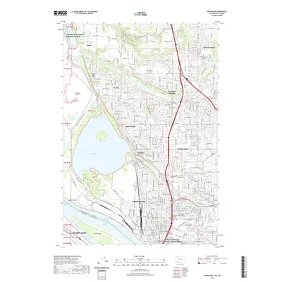 2020 Vancouver2020 Print · USGSVancouver and the Columbia River riverfront are shown here during a period of significant suburban and academic expansion. Researchers can find deep history at the Fort Vancouver National Historic Site and trace family roots through sites like Salmon Creek Cem or Mother Joseph Catholic Cem.
 - 2020 Map of Larch Mountain, 2020 Print
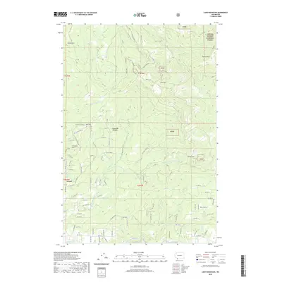 2020 Larch Mountain2020 Print · USGSSouthern Clark County and the forest fringe come alive in this recent survey, showing the transition from rural settlements to the mountain peaks. Genealogists and hikers can trace old routes near Ireland and Bear Prairie, or locate landmarks like Larch Mtn and Pyramid Rock.
 - 2020 Map of Yale Dam, 2020 Print
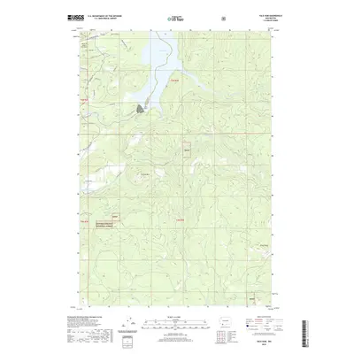 2020 Yale Dam2020 Print · USGSThe Lewis River valley comes alive in this contemporary view of the Washington timberlands and hydroelectric reservoirs. Researchers can trace the perimeter of the Gifford Pinchot National Forest and locate the Mount St Helens Aero Ranch and Chelatchie Prairie Mill Pond.
 - 2020 Map of Ariel, 2020 Print
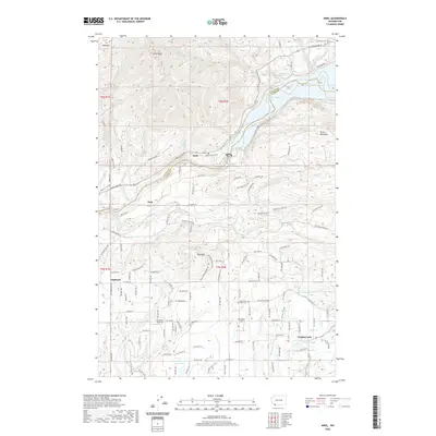 2020 Ariel2020 Print · USGSThe Lewis River valley and the rural communities of Clark County are shown here in modern detail. Researchers can trace the heritage of Ariel and Etna, or locate family sites near Mountain View Cem and the waters of Fargher Lake.
 - 2020 Map of Yacolt, 2020 Print
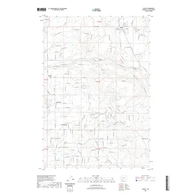 2020 Yacolt2020 Print · USGSInland Clark County is shown in detail during the early 21st century, centered on the historic rail town of Yacolt. Researchers can trace old transportation corridors along the Chelatchie Prairie RR and locate family sites like Gravel Point Cem and Finn Hill Cem.
 - 2020 Map of Cougar, 2020 Print
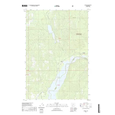 2020 Cougar2020 Print · USGSThe community of Cougar is documented here as it appeared in the early twenty-first century, serving as a vital outpost for the timber and hydro-power lands of the southern Cascades. Researchers can trace forest access routes like Old Lake Merrill Rd to find Merrill Lake, Cooney Point, and the Kalama Falls.
 - 2020 Map of Mount Mitchell, 2020 Print
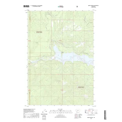 2020 Mount Mitchell2020 Print · USGSThe southern Gifford Pinchot National Forest is captured here at the start of the 2020s, showing the intersection of volcanic geology and modern infrastructure. Explore the heights of Mt Mitchell or trace subterranean features like Ape Cave and Lava Canyon.
 - 2020 Map of Bridal Veil, 2020 Print
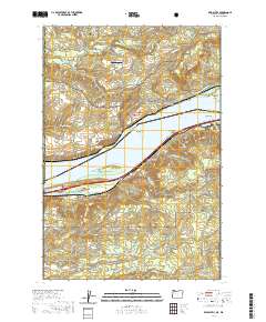 2020 Bridal Veil2020 Print · USGSThe Columbia River Gorge at the start of the 2020s shows the enduring settlements and steep terrain of both the Oregon and Washington shores. Researchers can trace the river's path through Broughton Reach to find historic sites like Crown Point, Bridal Veil, and Shepperds Dell.
 - 2020 Map of Portland, 2020 Print
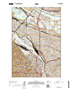 2020 Portland2020 Print · USGSPortland and Vancouver are shown during a period of modern urban density, highlighting the vital bridges and riverfront industry of the Willamette. Researchers can trace historic neighborhood boundaries from Saint Johns to Laurelhurst or locate ancestors at Lone Fir Cem.
 - 2020 Map of Mount Tabor, 2020 Print
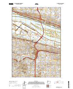 2020 Mount Tabor2020 Print · USGSThe eastern neighborhoods of Portland and Vancouver are captured here in the early twenty-first century as they flank the Columbia River. Local historians can trace the urban footprint across Parkrose and Montavilla, or locate landmarks like Rocky Butte and Rose City Cem.
 - 2020 Map of Sauvie Island, 2020 Print
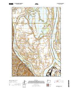 2020 Sauvie Island2020 Print · USGSThe Columbia River confluence and the fertile lowlands of Sauvie Island are shown here in detail during the early twenty-first century. Genealogists and local researchers can trace historic sites like Moar Cem, the location of Fort William Bend, and small hillside communities like Burlington.
 - 2020 Map of Saint Helens, 2020 Print
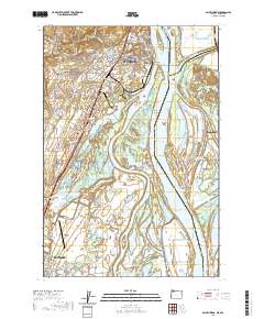 2020 Saint Helens2020 Print · USGSThe Columbia River shoreline and its intricate network of islands and sloughs define this region in the modern era. Genealogists and historians can locate legacy sites like the Independent Order of Odd Fellows Cem and the Columbia County Courthouse.
 - 2020 Map of Siouxon Peak, 2020 Print
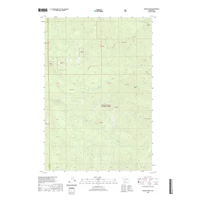 2020 Siouxon Peak2020 Print · USGSThe Clark and Skamania county lines meet deep in the Cascades in this modern topological study. Genealogists and outdoor historians can trace the high ridgelines of Horseshoe Ridge and find named summits like Huffman Peak and Calamity Peak.
 - 2020 Map of Camas, 2020 Print
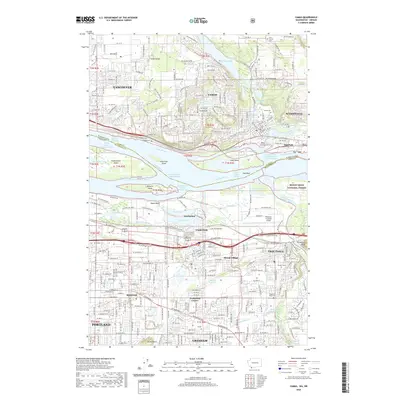 2020 Camas2020 Print · USGSThe Columbia River corridor is captured here at the dawn of the 2020s, showing the intricate boundary between Washington and Oregon. Genealogists and historians can trace local landmarks like Fern Prairie Cem, Fisher Quarry, and the campus of Mount Hood College.
 - 2020 Map of Bobs Mountain, 2020 Print
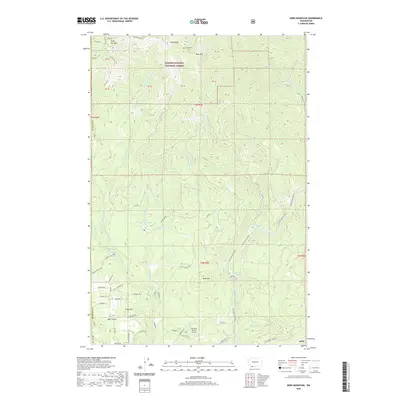 2020 Bobs Mountain2020 Print · USGSHigh peaks and river drainages define this Skamania County borderland in the early twenty-first century. Researchers can trace land use from the Indian Pits near Silver Star Mtn to the rural roads of Bear Prairie and the Sky River Ranch Airport.
 - 2023 Map of Saint Helens, 2023 Print
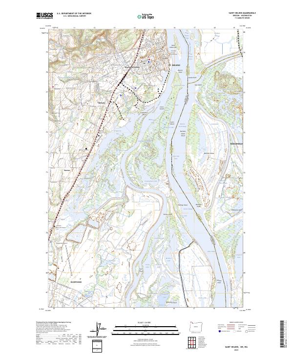 2023 Saint Helens2023 Print · USGSThe Columbia River corridor at the Oregon-Washington border is captured here in detail, showing the riverfront development of St. Helens and Ridgefield. Researchers can locate family sites near Bethany Memorial Cem or trace the complex wetlands of the Ridgefield National Wildlife Refuge.
Showing maps 1-25 of 49
Top cities of Clark County
- Vancouver historical maps
- Camas historical maps
- Battle Ground historical maps
- Washougal historical maps
- Ridgefield historical maps
- La Center historical maps
See more
Frequently asked questions
- What are the different types of historical maps available for Clark County?
- What is the oldest map of Clark County?
- Where can I purchase historical maps of Clark County for my home or office?
- Where can I download high-res historical maps of Clark County?
- Are there historical topographic maps available for Clark County?
- Is there historical aerial imagery available for Clark County?
- Where are historical maps of Clark County sourced from?