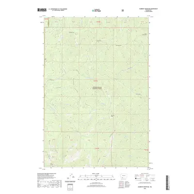
2020 Map of Gumboot Mountain
USGS Topo · Published 2020About this map
The E Fork Lewis River carves a deep valley through the heart of the Gifford Pinchot National Forest, defining the drainage patterns for this high-elevation region. To the north, the Tatoosh Hills and Gumboot Mtn stand as prominent landmarks, while the southern reaches are anchored by Silver Star Mtn and the sharp incline of McKinley Ridge. The landscape is a network of named springs and seasonal drainages, including Summit Springs and Miners Cr, reflecting a history of resource exploration and high-country travel.
Find a feature on this map
58 named features on this map. Tap any name to fly to it.
Don’t see what you’re looking for? This feature index may not catch every label — zoom into the map to look around manually.
Map Details
Editions of this 2020 Gumboot Mountain Map
This is the sole edition of this map. No revisions or reprints were ever made.
Other maps of this area

1918 · Troutdale
USGS Topo · 1:62,500

1934 · Troutdale
USGS Topo · 1:48,000

1940 · Lookout Mtn
USGS Topo · 1:62,500

1941 · Yacolt
USGS Topo · 1:62,500

1941 · Camas
USGS Topo · 1:62,500

1942 · Camas
USGS Topo · 1:62,500

1948 · Vancouver
USGS Topo · 1:250,000

1950 · Vancouver
USGS Topo · 1:250,000

1950 · Vancouver
USGS Topo · 1:250,000

1953 · Lookout Mtn
USGS Topo · 1:62,500