Old Maps of Dayton, Washington for Hiking & Exploration
Hike through history with 22 historic maps of Dayton. Explore old trails, ghost towns, and forgotten backroads — perfect for outdoor adventurers and local explorers.
- Rediscover forgotten places: Map out old mining camps, roads, and footpaths that no longer exist on modern maps.
- Layer with modern tools: Combine with LiDAR or satellite views to plan hikes through historical terrain.
- Made for exploration: Popular among hikers, overlanders, and local history lovers.
Use these maps to find adventure and explore the hidden past of Dayton.
Dayton, WA maps
(22)- 1919 Map of Walla Walla, 1964 Print
 1919 Walla Walla1964 Print · USGSSoutheast Washington at the close of the First World War shows a thriving agricultural hub connected by the Oregon-Washington Railroad. Genealogists can trace family names across dozens of rural sites, from College Place and Dixie to the Kellogg School and Kibler Mill.
 - 1921 Map of Walla Walla
 1921 Walla Walla1921 Print · USGSSoutheastern Washington at the height of its rail-era agricultural expansion reveals a landscape of thriving wheat towns and mountain foothills. Genealogists can trace family footprints across dozens of rural landmarks, from the Whitman Monument to the Kellogg School and the early streets of Walla Walla.2 unique versions available
 - 1937 Map of Pomeroy
 1937 Pomeroy1937 Print · USGSGarfield and Columbia Counties appear in the late thirties as a patchwork of upland farms and forest outposts. Genealogists and historians can locate rural landmarks like Pataha Cem, the Tucannon Guard Sta, and various country schools including Pine Grove Sch.3 unique versions available
 - 1942 Map of Pomeroy
 1942 Pomeroy1942 Print · USGSThe foothills of the Blue Mountains are captured here in the late 1930s, showing the settled valleys of Garfield and Columbia Counties. Genealogists and local historians can locate early rural landmarks like Pataha City, Jackson Sch, and the UNION PACIFIC rail line serving Dayton.2 unique versions available
 - 1953 Map of Walla Walla, 1964 Print
 1953 Walla Walla1964 Print · USGSSoutheast Washington enters the atomic and hydroelectric age in the mid-twentieth century as new dams reshape the desert landscape. You can trace the development of the Hanford Works, identify remote rail stops like Novara Siding, and locate the historic Dry Creek Cem.3 unique versions available
 - 1955 Map of Pullman, 1963 Print
 1955 Pullman1963 Print · USGSThe Palouse and Clearwater regions are captured here in the mid-1950s, showing the height of the rail-and-river economy. Genealogists and historians can trace rail lines like the Camas Prairie RR, find local landmarks like Whitman County Memorial Cem, and locate early academic centers at Washington State University and the University of Idaho.3 unique versions available
 - 1958 Map of Pullman
 1958 Pullman1958 Print · USGSThe Palouse and Clearwater regions are captured here in the late fifties, showing the vital river-and-rail connection between eastern Washington and northern Idaho. Local historians can trace the paths of the Camas Prairie RR and Union Pacific RR as they serve towns like Colfax, Kamiah, and Nezperce.2 unique versions available
 - 1958 Map of Walla Walla
 1958 Walla Walla1958 Print · USGSThe Tri-Cities and Walla Walla region are captured here during the mid-century expansion of atomic energy and river infrastructure. Genealogists and historians can trace the early layout of Richland (AEC), the rural Hatton and Washtucna settlements, and landmarks like Palouse Falls State Park.
 - 1967 Map of Huntsville, 1971 Print
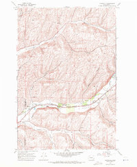 1967 Huntsville1971 Print · USGSThe Touchet Valley in the late 1960s was a bustling corridor where competing railroads traced the river through the heart of the wheat country. Genealogists and local historians can locate the Huntsville Cem, Pioneer Cem, and the small siding at Dumas along the Union Pacific line.
 - 1967 Map of Dayton, 1971 Print
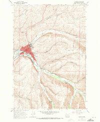 1967 Dayton1971 Print · USGSDayton and the Touchet River valley are shown in the late 1960s during a period of steady agricultural and civic growth. Researchers can trace historic rail lines like the Burlington Northern and locate community landmarks such as the Dayton High Sch and the local Cemetery.2 unique versions available
 - 1980 Map of Walla Walla
 1980 Walla Walla1980 Print · USGSThe Walla Walla Valley in the early eighties shows a landscape of deep-rooted agriculture and massive hydroelectric development. Researchers can trace the rail junctions at Wallula Junction, visit the historic Fort Walla Walla, or locate old landmarks like the Mountain View Cem.2 unique versions available
 - 1981 Map of Clarkston
 1981 Clarkston1981 Print · USGSNorthwestern river life and mountain terrain meet in the early eighties as the Snake River carves through the landscape. Researchers can trace rail history along the Camas Prairie Railroad and locate smaller settlements like Peola and Anatone.2 unique versions available
 - 2011 Map of Huntsville, 2011 Print
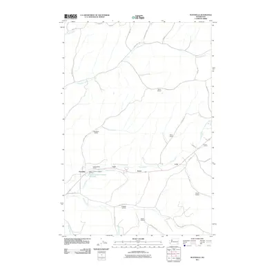 2011 Huntsville2011 Print · USGSThe Touchet River valley in Columbia County is shown here during a period of modern agricultural and industrial use. Genealogists and local historians can locate Pioneer Cemetery and industrial sites like the Dayton Lumber Company Mill Dam near Huntsville.
 - 2011 Map of Dayton, 2011 Print
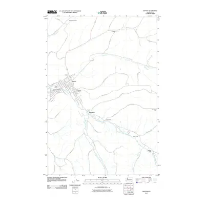 2011 Dayton2011 Print · USGSDayton and the surrounding valleys of Columbia County are shown here in the early twenty-first century as the region maintains its agricultural and river-centered character. Genealogists and historians can trace local landmarks like the Dayton and Columbia County Fairgrounds and the outlying settlement of Baileysburg.
 - 2014 Map of Huntsville, 2014 Print
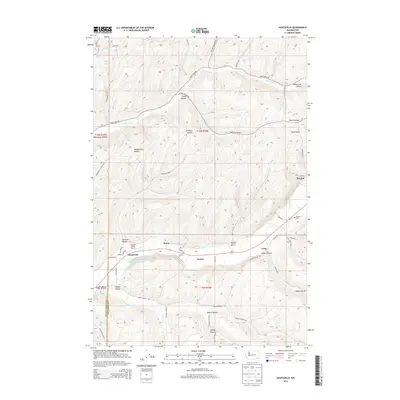 2014 Huntsville2014 Print · USGSColumbia County agriculture and industry are on display in the mid-2010s as the Touchet River winds past small rural hubs. Local historians can trace the foundations of the area at the Pioneer Cem, the Dayton Lumber Company Mill Pond, and the Touchet Valley Airport.
 - 2014 Map of Dayton, 2014 Print
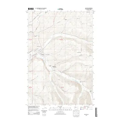 2014 Dayton2014 Print · USGSDayton and the Touchet Valley are captured in this modern survey of Columbia County’s riverfront geography. Genealogists and local historians can trace the streets of Dayton and the smaller settlement of Baileysburg, alongside landmarks like Hatley Gulch.
 - 2017 Map of Huntsville, 2017 Print
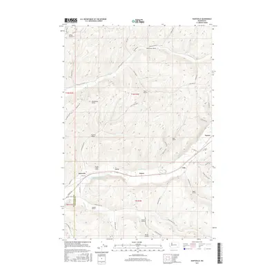 2017 Huntsville2017 Print · USGSColumbia County’s river-carved agricultural landscape is documented here in the late twenty-first century, showing the enduring rural hubs of Huntsville and Dayton. Researchers can trace old transportation corridors along the Touchet River to find Pioneer Cem and industrial sites like the Dayton Lumber Company Mill Pond.
 - 2017 Map of Dayton, 2017 Print
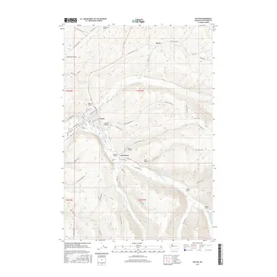 2017 Dayton2017 Print · USGSThe Touchet Valley settlement of Dayton is documented here in the late twenty-teens, showing the town's detailed street plan at the meeting of Patit Cr and the river. Genealogists and local historians can trace family-named landmarks such as Baileysburg, Mustard Hollow, and Cemetery Hill Rd.
 - 2020 Map of Huntsville, 2020 Print
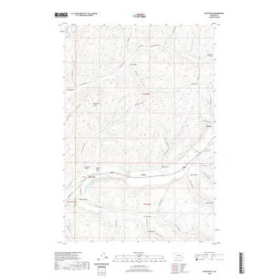 2020 Huntsville2020 Print · USGSColumbia and Walla Walla counties are revealed here in the modern era, where the river valley and its steep hollows shape local life. You can trace early settlement roots at Pioneer Cem and explore the industrial landscape near Huntsville and the Dayton Lumber Company Mill Pond.
 - 2020 Map of Dayton, 2020 Print
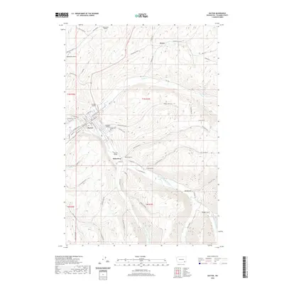 2020 Dayton2020 Print · USGSDayton and the surrounding Columbia County landscape are shown here in the 2020s, centered on the confluence of the Touchet River and Patit Cr. Researchers can trace local history through the streets of Dayton, the Dayton Cem, and rural pockets like Baileysburg or Ronan.
 - 2023 Map of Huntsville, 2023 Print
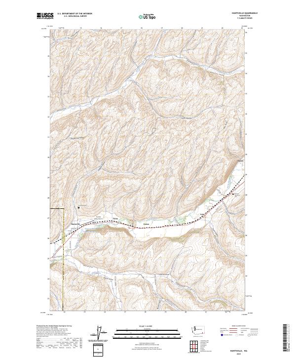 2023 Huntsville2023 Print · USGSThe Touchet River valley comes to life in this modern survey of the Columbia County borderlands. Researchers can trace family history through sites like Huntsville Cem or explore early industry at the Dayton-Lumber Company Mill-Pond and Touchet Valley Airport.
 - 2023 Map of Dayton, 2023 Print
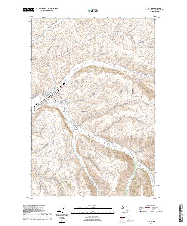 2023 Dayton2023 Print · USGSDayton sits at the convergence of vital river forks in this contemporary survey of Columbia County. Genealogists and local historians can trace the town’s layout around the Columbia County Courthouse or locate family sites near Baileysburg and the Dayton Cem.
End of results
Showing maps 1-22 of 22
Top cities near Dayton
Frequently asked questions
- What are the different types of historical maps available for Dayton?
- What is the oldest map of Dayton?
- Where can I purchase historical maps of Dayton for my home or office?
- Where can I download high-res historical maps of Dayton?
- Are there historical topographic maps available for Dayton?
- Is there historical aerial imagery available for Dayton?
- Where are historical maps of Dayton sourced from?