Old Maps of Connell, Washington
Explore 23 old maps of Connell, spanning from 1916 to today. These high-resolution historic maps reveal how streets, neighborhoods, landmarks, and natural features evolved over time — perfect for genealogy, metal detecting, research, and local history exploration.
What you can do with these maps:
- See how Connell changed over time: Compare historical maps to modern-day views to trace roads, homesites, rail lines & more.
- View detailed metadata: Each map includes creators, publishers, year, scale, and archive source.
- Overlay maps with satellite & LiDAR: Visualize the past alongside modern tools to explore terrain & human change.
- Trusted historical sources: Maps sourced from the USGS, Library of Congress, and other archives.
- Access maps your way: View online, download high-res files, or order prints for personal or research use.
Start exploring old maps of Connell to uncover forgotten places, hidden landmarks, and the deep history beneath your feet.
Connell, WA maps
(23)- 1916 Map of Connell
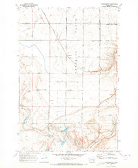
 1916 Connell1916 Print · USGSIn the decade before the region's landscape was further transformed by modern irrigation, this area shows a dense network of early schoolhouses and railroad stops. Genealogists can trace family footprints through sites like Roxboro School, Hatton, and Kahlotus along the Washtucna Lake shoreline.
 - 1918 Map of Connell
 1918 Connell1918 Print · USGSEastern Washington at the end of the Great War era shows a landscape shaped by emerging railroads and a dense network of rural school districts. Genealogists and historians can trace family-named sites across Paradise Flats and locate early community hubs like Kahlotus, Connell, and Stephenson School.
 - 1953 Map of Walla Walla, 1964 Print
 1953 Walla Walla1964 Print · USGSSoutheast Washington enters the atomic and hydroelectric age in the mid-twentieth century as new dams reshape the desert landscape. You can trace the development of the Hanford Works, identify remote rail stops like Novara Siding, and locate the historic Dry Creek Cem.3 unique versions available
 - 1958 Map of Walla Walla
 1958 Walla Walla1958 Print · USGSThe Tri-Cities and Walla Walla region are captured here during the mid-century expansion of atomic energy and river infrastructure. Genealogists and historians can trace the early layout of Richland (AEC), the rural Hatton and Washtucna settlements, and landmarks like Palouse Falls State Park.
 - 1970 Map of Frischknecht, 1973 Print
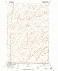
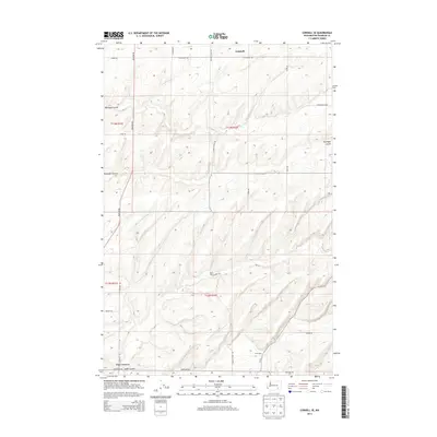
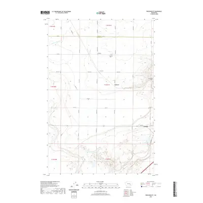
 1970 Frischknecht1973 Print · USGSFranklin County grain-growing country comes into focus in the early 1970s, as the rail and road network supported the region's agricultural harvest. Genealogists and historians can trace the Burlington Northern line to the Grain Elevators at Frischknecht and locate the Paradise Flats Cem.
 - 1970 Map of Connell SE, 1973 Print
 1970 Connell SE1973 Print · USGSFranklin County's coulee-scarred plains are captured here in the early 1970s, illustrating the agricultural and infrastructural network of eastern Washington. Researchers can trace family-named routes like Bauermeister Road and find landmarks such as McLean and Five Corners.
 - 1970 Map of Connell, 1973 Print
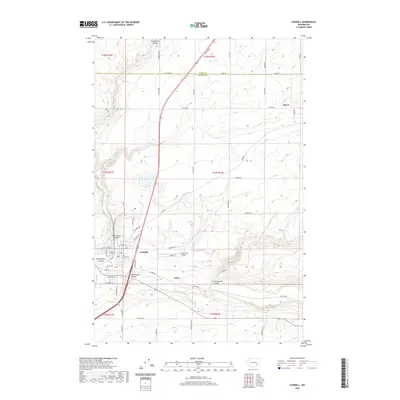
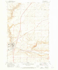 1970 Connell1973 Print · USGSFranklin County's rail and agricultural heart is captured here during the early seventies as the region's transport network matured. Researchers can trace the path of the Northern Pacific railroad through Connell or locate family-named landmarks like Myers Road and Nordheim.
 - 1983 Map of Connell
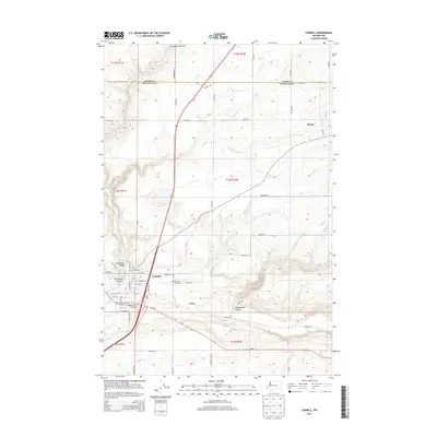
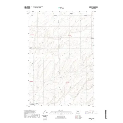
 1983 Connell1983 Print · USGSEastern Washington's coulee country is captured here in the early eighties as a landscape of remote rail junctions and massive river engineering. Trace family roots in Connell or Kahlotus, and follow old transport lines like the Old Lind Road Grade and Burlington Northern tracks.
 - 2011 Map of Connell SE, 2011 Print
 2011 Connell SE2011 Print · USGSCovers Connell, including Five Corners, Franklin County, and other nearby areas
 - 2011 Map of Connell, 2011 Print
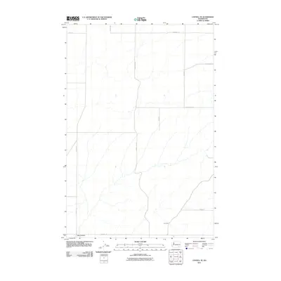
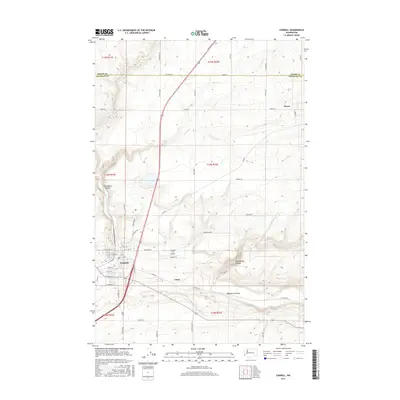
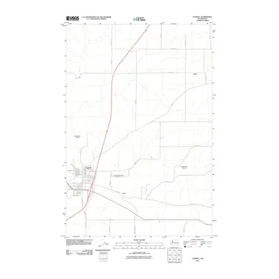 2011 Connell2011 Print · USGSCovers Connell, including Myers, Franklin County, and other nearby areas
 - 2011 Map of Frischknecht, 2011 Print
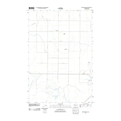 2011 Frischknecht2011 Print · USGSCovers Connell, including Franklin County, Adams County, and other nearby areas
 - 2014 Map of Connell, 2014 Print
 2014 Connell2014 Print · USGSCovers Connell, including Myers, Franklin County, and other nearby areas
 - 2014 Map of Connell SE, 2014 Print
 2014 Connell SE2014 Print · USGSCovers Connell, including Five Corners, Franklin County, and other nearby areas
 - 2014 Map of Frischknecht, 2014 Print
 2014 Frischknecht2014 Print · USGSCovers Connell, including Franklin County, Adams County, and other nearby areas
 - 2017 Map of Connell SE, 2017 Print
 2017 Connell SE2017 Print · USGSCovers Connell, including Five Corners, Franklin County, and other nearby areas
 - 2017 Map of Frischknecht, 2017 Print
 2017 Frischknecht2017 Print · USGSCovers Connell, including Franklin County, Adams County, and other nearby areas
 - 2017 Map of Connell, 2017 Print
 2017 Connell2017 Print · USGSCovers Connell, including Myers, Franklin County, and other nearby areas
 - 2020 Map of Connell, 2020 Print
 2020 Connell2020 Print · USGSCovers Connell, including Myers, Franklin County, and other nearby areas
 - 2020 Map of Frischknecht, 2020 Print
 2020 Frischknecht2020 Print · USGSCovers Connell, including Franklin County, Adams County, and other nearby areas
 - 2020 Map of Connell SE, 2020 Print
 2020 Connell SE2020 Print · USGSCovers Connell, including Five Corners, Franklin County, and other nearby areas
 - 2023 Map of Frischknecht, 2023 Print
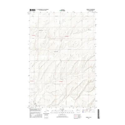
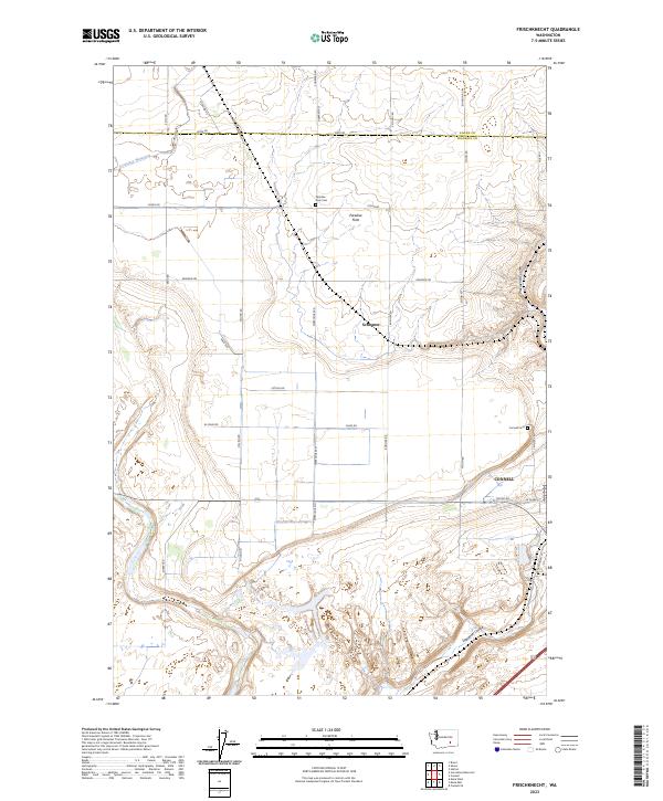 2023 Frischknecht2023 Print · USGSConnell and the surrounding farmlands of the Columbia Basin come into sharp focus in this recent survey. Researchers can trace family roots at Paradise Flats Cem or locate old homestead sites near Schlomer and Krug Spr.
 - 2023 Map of Connell SE, 2023 Print
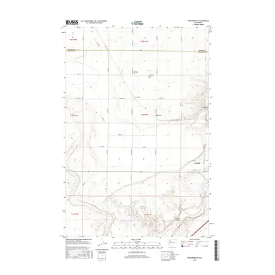
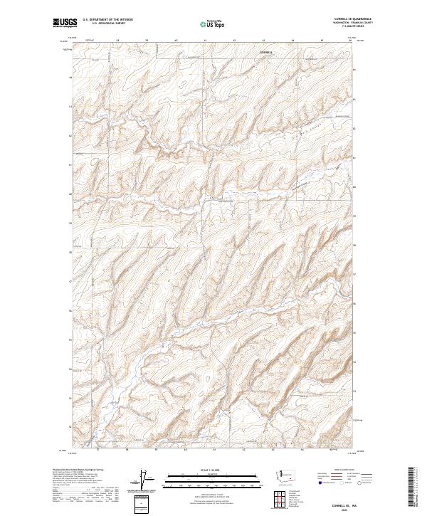 2023 Connell SE2023 Print · USGSFranklin County's rural landscape is captured here in the early twenty-first century, showing the intersection of geological features and family landholdings. Researchers can trace land use patterns along Old Maid Coulee and locate property-linked routes like Pepiot Rd and Bauermeister Rd.
 - 2023 Map of Connell, 2023 Print
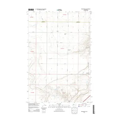
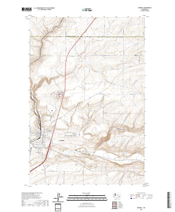 2023 Connell2023 Print · USGSThe high desert of Franklin County is centered here in the early twenty-first century, where the town of Connell sits at the junction of several ancient coulees. Researchers can trace local landmarks like the Connell City Airport and outlying areas like Curry and Myers.
End of results
Showing maps 1-23 of 23
Top cities near Connell
Frequently asked questions
- What are the different types of historical maps available for Connell?
- What is the oldest map of Connell?
- Where can I purchase historical maps of Connell for my home or office?
- Where can I download high-res historical maps of Connell?
- Are there historical topographic maps available for Connell?
- Is there historical aerial imagery available for Connell?
- Where are historical maps of Connell sourced from?