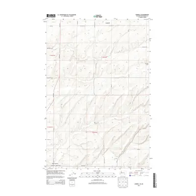
2014 Map of Connell SE
USGS Topo · Published 2014About this map
Five Corners and the small settlement at Drumheller anchor this section of Franklin County, where the dry landscape is deeply incised by glacial drainage features. The terrain is defined by the sharp descents into Old Maid Coulee and Dunnigan Coulee, which cut through the high plateau land southeast of Connell. These coulees represent the unique Channeled Scablands geology, providing natural corridors through an otherwise uniform agricultural grid.
Find a feature on this map
23 named features on this map. Tap any name to fly to it.
Don’t see what you’re looking for? This feature index may not catch every label — zoom into the map to look around manually.
Map Details
Editions of this 2014 Connell SE Map
This is the sole edition of this map. No revisions or reprints were ever made.
Other maps of this area

1915 · Wallulah
USGS Topo · 1:96,000

1916 · Connell
USGS Topo · 1:125,000

1918 · Connell
USGS Topo · 1:125,000

1918 · Wallula
USGS Topo · 1:125,000

1953 · Walla Walla
USGS Topo · 1:250,000

1958 · Walla Walla
USGS Topo · 1:250,000

1963 · Rye Grass Coulee
USGS Topo · 1:24,000

1964 · Levey NE
USGS Topo · 1:24,000

1966 · Snake River
USGS Topo · 1:24,000
1970 · Burr Canyon
USGS Topo · 1:24,000