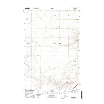
2017 Map of Frischknecht
USGS Topo · Published 2017About this map
Paradise Flats dominates the northern landscape of this Columbia Basin quadrangle, where the border of Adams and Franklin counties intersects a grid of agricultural service roads. This 2017 survey details a landscape defined by water management and geological depressions, most notably the Esquatzel Coulee and Providence Coulee that cut through the undulating terrain. The southeastern corner centers on the community of Connell, providing a clear view of its local infrastructure including the Connell Cem and the Lamb Weston Dam near T Lake.
Find a feature on this map
41 named features on this map. Tap any name to fly to it.
Don’t see what you’re looking for? This feature index may not catch every label — zoom into the map to look around manually.
Map Details
Editions of this 2017 Frischknecht Map
This is the sole edition of this map. No revisions or reprints were ever made.
Other maps of this area

1916 · Connell
USGS Topo · 1:125,000

1918 · Connell
USGS Topo · 1:125,000

1924 · Othello
USGS Topo · 1:62,500

1925 · Scooteney Lake
USGS Topo · 1:62,500

1951 · Scooteney Lake
USGS Topo · 1:62,500

1953 · Walla Walla
USGS Topo · 1:250,000

1954 · Bruce
USGS Topo · 1:24,000

1954 · Othello
USGS Topo · 1:62,500

1958 · Walla Walla
USGS Topo · 1:250,000

1965 · Mesa
USGS Topo · 1:62,500