2000s (21st Century) Maps of Pomeroy, Washington
Explore 10 historic maps of Pomeroy from the 2000s (21st Century). These maps offer a rare glimpse into what life looked like during the 2000s — showing old roads, neighborhoods, homes, and landmarks that have changed or disappeared over time.
Whether you're researching your family's past, planning a metal detecting trip, or studying how Pomeroy's landscape evolved across the 2000s, these high-resolution maps are a powerful tool for exploring the history of this region.
- Focus on a specific era: All maps on this page are from the 2000s, giving you a focused view of this time period.
- See what’s changed: Compare century-old streets, trails, and buildings to today's modern landscape using overlays and satellite layers.
- Research with precision: Use these maps for genealogy, historical research, land use analysis, or educational projects.
- View, download, or print: Maps are fully viewable online in high resolution, and can be downloaded or printed for your own records.
Start exploring Pomeroy's history through authentic maps from the 2000s. This is your window into the past.
Pomeroy, WA maps
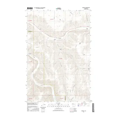
(10)- 2011 Map of Pomeroy, 2011 Print
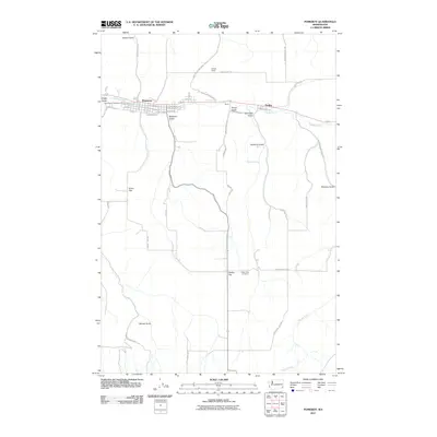 2011 Pomeroy2011 Print · USGSCovers Pomeroy, including Pataha, Garfield County, and other nearby areas
 - 2011 Map of Zumwalt, 2011 Print
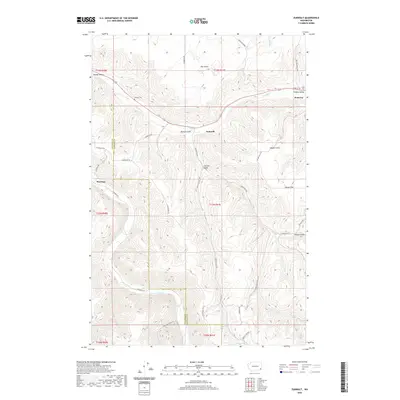
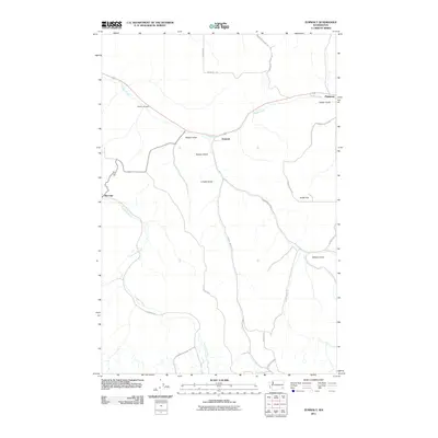 2011 Zumwalt2011 Print · USGSCovers Pomeroy, including Zumwalt, Marengo, and other nearby areas
 - 2013 Map of Pomeroy, 2013 Print
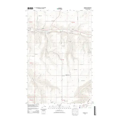 2013 Pomeroy2013 Print · USGSCovers Pomeroy, including Pataha, Garfield County, and other nearby areas
 - 2013 Map of Zumwalt, 2013 Print
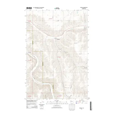 2013 Zumwalt2013 Print · USGSCovers Pomeroy, including Zumwalt, Marengo, and other nearby areas
 - 2017 Map of Zumwalt, 2017 Print
 2017 Zumwalt2017 Print · USGSCovers Pomeroy, including Zumwalt, Marengo, and other nearby areas
 - 2017 Map of Pomeroy, 2017 Print
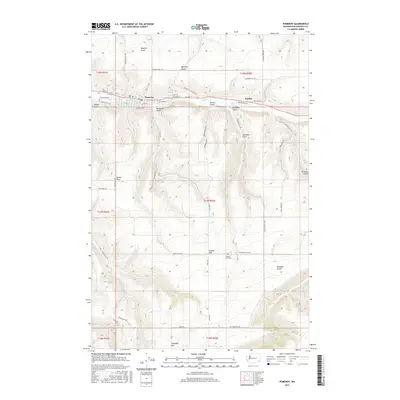 2017 Pomeroy2017 Print · USGSCovers Pomeroy, including Pataha, Garfield County, and other nearby areas
 - 2020 Map of Pomeroy, 2020 Print
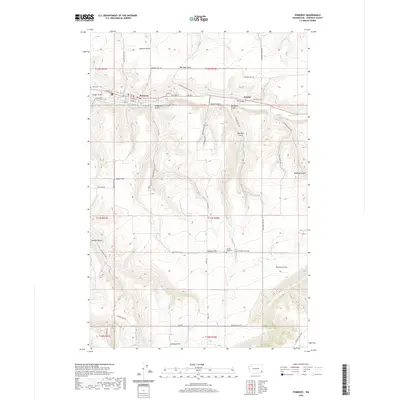 2020 Pomeroy2020 Print · USGSCovers Pomeroy, including Pataha, Garfield County, and other nearby areas
 - 2020 Map of Zumwalt, 2020 Print
 2020 Zumwalt2020 Print · USGSCovers Pomeroy, including Zumwalt, Marengo, and other nearby areas
 - 2023 Map of Pomeroy, 2023 Print
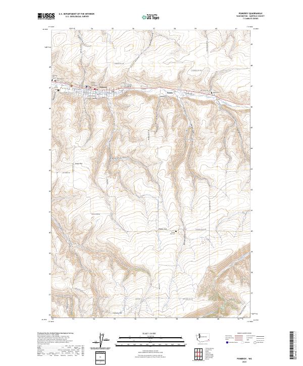 2023 Pomeroy2023 Print · USGSGarfield County as it appeared recently, where the town of Pomeroy and the smaller settlement of Pataha are connected by the valley of Pataha Creek. Researchers can locate several regional burial grounds including Odd Fellows Cemetery and Rigsby Cemetery among the high flats and gulches.
 - 2023 Map of Zumwalt, 2023 Print
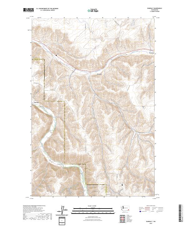 2023 Zumwalt2023 Print · USGSGarfield and Columbia counties come alive in this contemporary survey of the high plateaus and river valleys of Southeast Washington. Researchers can trace family history through the Owsley Cem and Cox Cem or explore the routes through Pataha Valley and Dutch Flat.
End of results
Showing maps 1-10 of 10
Frequently asked questions
- What are the different types of historical maps available for Pomeroy?
- What is the oldest map of Pomeroy?
- Where can I purchase historical maps of Pomeroy for my home or office?
- Where can I download high-res historical maps of Pomeroy?
- Are there historical topographic maps available for Pomeroy?
- Is there historical aerial imagery available for Pomeroy?
- Where are historical maps of Pomeroy sourced from?