2000s (21st Century) Maps of Aberdeen, Washington
Explore 20 historic maps of Aberdeen from the 2000s (21st Century). These maps offer a rare glimpse into what life looked like during the 2000s — showing old roads, neighborhoods, homes, and landmarks that have changed or disappeared over time.
Whether you're researching your family's past, planning a metal detecting trip, or studying how Aberdeen's landscape evolved across the 2000s, these high-resolution maps are a powerful tool for exploring the history of this region.
- Focus on a specific era: All maps on this page are from the 2000s, giving you a focused view of this time period.
- See what’s changed: Compare century-old streets, trails, and buildings to today's modern landscape using overlays and satellite layers.
- Research with precision: Use these maps for genealogy, historical research, land use analysis, or educational projects.
- View, download, or print: Maps are fully viewable online in high resolution, and can be downloaded or printed for your own records.
Start exploring Aberdeen's history through authentic maps from the 2000s. This is your window into the past.
Aberdeen, WA maps
(20)- 2011 Map of Aberdeen, 2011 Print
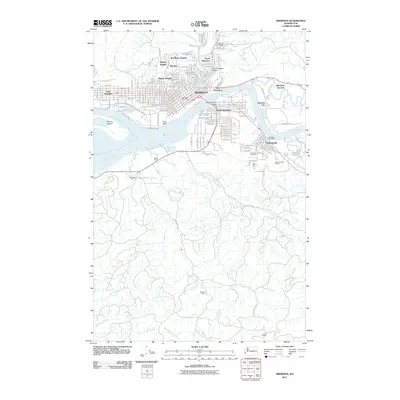 2011 Aberdeen2011 Print · USGSCovers Aberdeen, including Hoquiam, Cosmopolis, and other nearby areas
 - 2011 Map of Central Park, 2011 Print
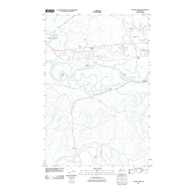 2011 Central Park2011 Print · USGSCovers Aberdeen, including Montesano, Artic, and other nearby areas
 - 2011 Map of Wynoochee Valley SW, 2011 Print
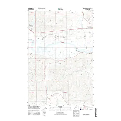
 2011 Wynoochee Valley SW2011 Print · USGSCovers Aberdeen, including Grays Harbor County, United States, and other nearby areas
 - 2011 Map of Aberdeen Gardens, 2011 Print
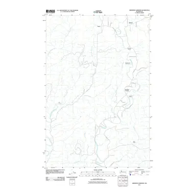 2011 Aberdeen Gardens2011 Print · USGSCovers Aberdeen, including Hoquiam, Aberdeen Gardens, and other nearby areas
 - 2014 Map of Central Park, 2014 Print
 2014 Central Park2014 Print · USGSCovers Aberdeen, including Montesano, Artic, and other nearby areas
 - 2014 Map of Aberdeen, 2014 Print
 2014 Aberdeen2014 Print · USGSCovers Aberdeen, including Hoquiam, Cosmopolis, and other nearby areas
 - 2014 Map of Aberdeen Gardens, 2014 Print
 2014 Aberdeen Gardens2014 Print · USGSCovers Aberdeen, including Hoquiam, Aberdeen Gardens, and other nearby areas
 - 2014 Map of Wynoochee Valley SW, 2014 Print
 2014 Wynoochee Valley SW2014 Print · USGSCovers Aberdeen, including Grays Harbor County, United States, and other nearby areas
 - 2017 Map of Aberdeen Gardens, 2017 Print
 2017 Aberdeen Gardens2017 Print · USGSCovers Aberdeen, including Hoquiam, Aberdeen Gardens, and other nearby areas
 - 2017 Map of Wynoochee Valley SW, 2017 Print
 2017 Wynoochee Valley SW2017 Print · USGSCovers Aberdeen, including Grays Harbor County, United States, and other nearby areas
 - 2017 Map of Central Park, 2017 Print
 2017 Central Park2017 Print · USGSCovers Aberdeen, including Montesano, Artic, and other nearby areas
 - 2017 Map of Aberdeen, 2017 Print
 2017 Aberdeen2017 Print · USGSCovers Aberdeen, including Hoquiam, Cosmopolis, and other nearby areas
 - 2020 Map of Aberdeen Gardens, 2020 Print
 2020 Aberdeen Gardens2020 Print · USGSCovers Aberdeen, including Hoquiam, Aberdeen Gardens, and other nearby areas
 - 2020 Map of Wynoochee Valley SW, 2020 Print
 2020 Wynoochee Valley SW2020 Print · USGSCovers Aberdeen, including Grays Harbor County, United States, and other nearby areas
 - 2020 Map of Aberdeen, 2020 Print
 2020 Aberdeen2020 Print · USGSCovers Aberdeen, including Hoquiam, Cosmopolis, and other nearby areas
 - 2020 Map of Central Park, 2020 Print
 2020 Central Park2020 Print · USGSCovers Aberdeen, including Montesano, Artic, and other nearby areas
 - 2023 Map of Aberdeen Gardens, 2023 Print
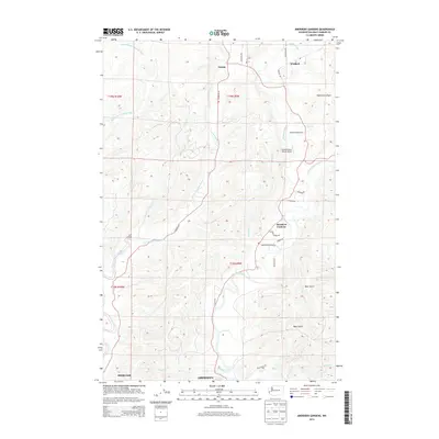
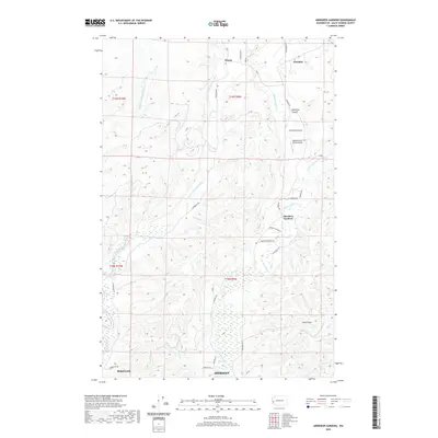
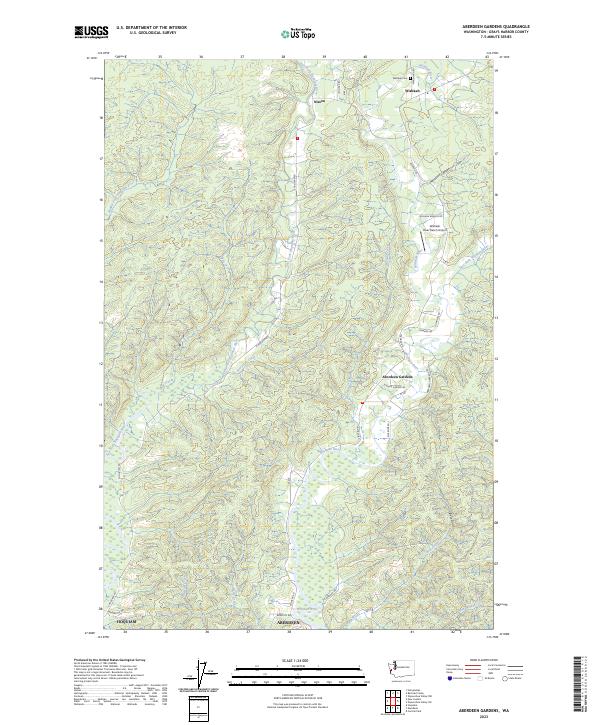 2023 Aberdeen Gardens2023 Print · USGSThe Grays Harbor backcountry comes into focus in this recent survey of the timberlands and river valleys north of the coast. Researchers can trace rural lineages through the Wishkah Cem, the settlement at Nisson, and the landing strip at Wishkah River Airport.
 - 2023 Map of Wynoochee Valley SW, 2023 Print
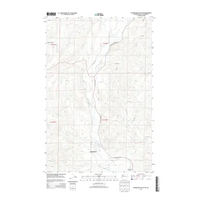
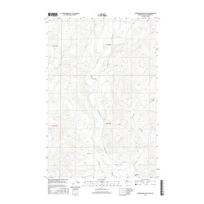
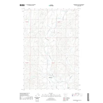
 2023 Wynoochee Valley SW2023 Print · USGSThe northern reaches of Aberdeen and the winding Wynoochee River define this modern look at the Grays Harbor timberlands. Trace rural roads and family-named drainages like Geisler Creek, Mooney Rd, and the central Wynoochee Valley.
 - 2023 Map of Aberdeen, 2023 Print
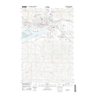
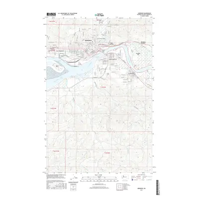
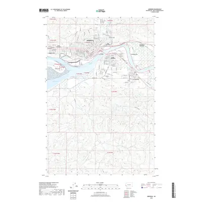
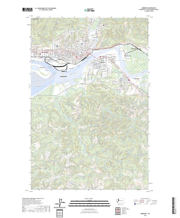 2023 Aberdeen2023 Print · USGSThe industrial waterfronts of Grays Harbor are mapped here in the early twenty-first century, showing the dense grid and river commerce of the Pacific Northwest. Genealogists and historians can trace the streets of Aberdeen and Cosmopolis or locate family sites at Fern Hill Cem.
 - 2023 Map of Central Park, 2023 Print
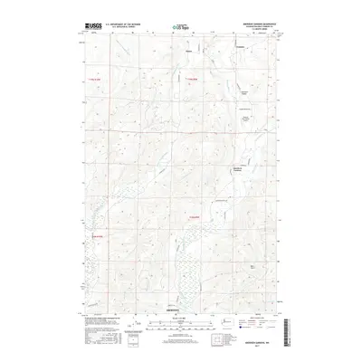
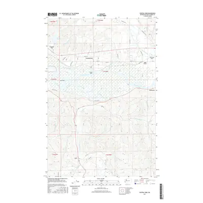
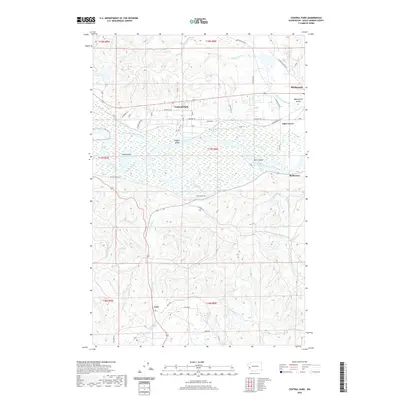
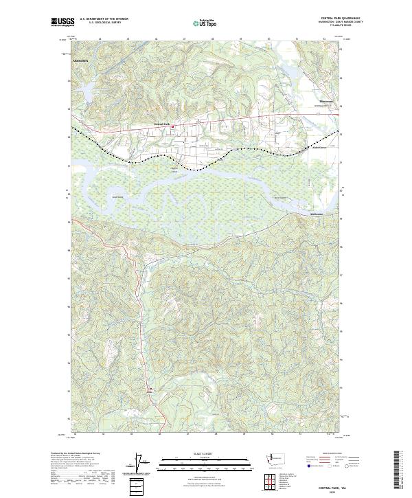 2023 Central Park2023 Print · USGSThe riverfront corridor near Aberdeen is shown here in the 2020s, revealing a landscape of winding sloughs and islands. Trace local history along the Chehalis River through Central Park, Melbourne, and the Wynoochee Valley.
End of results
Showing maps 1-20 of 20
Top cities near Aberdeen
- Hoquiam historical maps
- Montesano historical maps
- Cosmopolis historical maps
- Aberdeen Gardens historical maps
Top neighborhoods of Aberdeen
- Pilgrim Heights historical maps
- Bel-Aire historical maps
- North Aberdeen historical maps
- South Aberdeen historical maps
Frequently asked questions
- What are the different types of historical maps available for Aberdeen?
- What is the oldest map of Aberdeen?
- Where can I purchase historical maps of Aberdeen for my home or office?
- Where can I download high-res historical maps of Aberdeen?
- Are there historical topographic maps available for Aberdeen?
- Is there historical aerial imagery available for Aberdeen?
- Where are historical maps of Aberdeen sourced from?