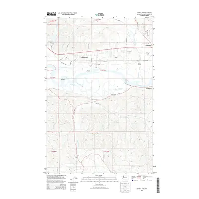
2014 Map of Central Park
USGS Topo · Published 2014About this map
The Chehalis River and its intricate network of sloughs dominate this landscape between Aberdeen and Montesano. This 2014 survey reveals a transition from the tidal waters of Elliott Slough and Mox Chuck Slough to the interior river valleys. The settlement of Central Park is centered along the corridor between the main river and the rising timberlands to the north, while the Lake Aberdeen Hatchery sits near the western edge of the quadrangle.
Find a feature on this map
67 named features on this map. Tap any name to fly to it.
Don’t see what you’re looking for? This feature index may not catch every label — zoom into the map to look around manually.
Map Details
Editions of this 2014 Central Park Map
This is the sole edition of this map. No revisions or reprints were ever made.
Other maps of this area

1940 · Montesano
USGS Topo · 1:62,500

1941 · Mobray
USGS Topo · 1:62,500

1943 · Humptulips
USGS Topo · 1:62,500

1943 · Mobray
USGS Topo · 1:62,500

1953 · Hoquiam
USGS Topo · 1:250,000

1955 · Montesano
USGS Topo · 1:62,500

1955 · Wynoochee Valley
USGS Topo · 1:62,500

1955 · Humptulips
USGS Topo · 1:62,500

1955 · Aberdeen SE
USGS Topo · 1:24,000

1957 · Hoquiam
USGS Topo · 1:250,000