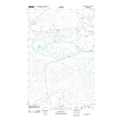
2011 Map of Central Park
USGS Topo · Published 2011About this map
The Chehalis River and Wynoochee River define the intricate waterway systems of this coastal Washington region, where river bends and sloughs create a complex mosaic of islands and waterways. To the north, the Lake Aberdeen Hatchery sits just below the Aberdeen Lake Dam, while the landscape is dotted with evidence of local resource extraction at the Wynoochee Quarry and Wynoochee East Quarry. The settlement patterns are concentrated along established routes like Central Park Dr and Clemons Rd, serving the communities of Central Park and Alder Grove.
Find a feature on this map
68 named features on this map. Tap any name to fly to it.
Don’t see what you’re looking for? This feature index may not catch every label — zoom into the map to look around manually.
Map Details
Editions of this 2011 Central Park Map
This is the sole edition of this map. No revisions or reprints were ever made.
Other maps of this area

1940 · Montesano
USGS Topo · 1:62,500

1941 · Mobray
USGS Topo · 1:62,500

1943 · Humptulips
USGS Topo · 1:62,500

1943 · Mobray
USGS Topo · 1:62,500

1953 · Hoquiam
USGS Topo · 1:250,000

1955 · Montesano
USGS Topo · 1:62,500

1955 · Wynoochee Valley
USGS Topo · 1:62,500

1955 · Humptulips
USGS Topo · 1:62,500

1955 · Aberdeen SE
USGS Topo · 1:24,000

1957 · Hoquiam
USGS Topo · 1:250,000