Old Maps of Taholah, Washington for Metal Detecting
Plan your next treasure hunt with 12 historic maps of Taholah. Find old homesites, ghost towns, trails, and gathering spots that may be lost to time — perfect for identifying promising metal detecting locations.
- Locate forgotten sites: Uncover places like long-lost settlements, abandoned rail lines, or gathering spots.
- Plan better hunts: Use map overlays combined with LiDAR or satellite views to narrow in on historically rich areas.
- Made for detectorists: Thousands of hobbyists use these maps to discover relics, coins, and hidden history.
Use these historic maps to boost your research and find new opportunities beneath the surface of Taholah.
Taholah, WA maps
(12)- 1943 Map of Copalis Beach
 1943 Copalis Beach1943 Print · USGSThe Washington coast in the 1940s is detailed here from the Olympic Peninsula to the Columbia River. Trace old beach settlements like Moclips and Copalis Beach alongside landmarks like the Willapa Bay Lighthouse.
 - 1951 Map of Copalis Beach
 1951 Copalis Beach1951 Print · USGSThe Olympic Peninsula's rugged coast and tribal lands are meticulously detailed in the early 1950s. Genealogists and historians can trace the foundations of coastal communities from Taholah to La Push or locate early markers like the James Island Lighthouse.
 - 1955 Map of Taholah, 1957 Print
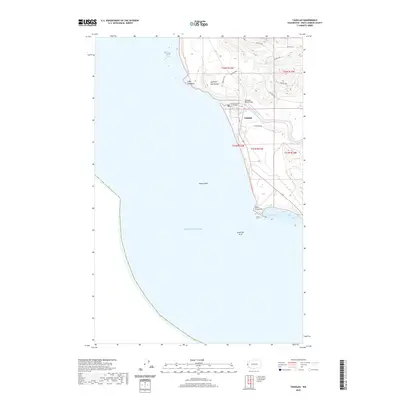
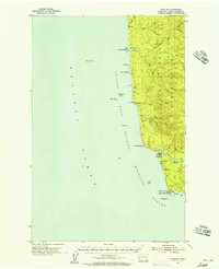 1955 Taholah1957 Print · USGSCoastal Washington is captured here in the mid-fifties, centered on the Quinault Indian Reservation and the river-mouth village of Taholah. Researchers can locate specialized maritime landmarks like the Coast Guard Res and find natural features including Point Grenville and Sea Lion Rock.3 unique versions available
 - 1957 Map of Copalis Beach, 1968 Print
 1957 Copalis Beach1968 Print · USGSThe Washington coast during the late fifties reveals a landscape of tribal reservations and timber towns linked by the Northern Pacific RR. Trace family history and land patterns near Forks Cemetery, the shingle mill, or coastal landings like Taholah and Oysterville.2 unique versions available
 - 1963 Map of Copalis Beach
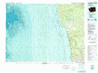
 1963 Copalis Beach1963 Print · USGSThe Washington coast in the early sixties reveals a landscape of massive timber reserves, indigenous lands, and quiet seaside villages. Genealogists and historians can trace the foundations of coastal life through sites like Lone Fir Cemetery, the Dismantled RR, and the historic oyster beds of Oysterville.
 - 1980 Map of Copalis Beach, 1988 Print
 1980 Copalis Beach1988 Print · USGSThe Grays Harbor coast in the early eighties shows a landscape defined by the Quinault Indian Reservation and seaside rail history. Researchers can trace the Burlington Northern route through Moclips, Aloha, and Copalis Crossing.
 - 1982 Map of Taholah
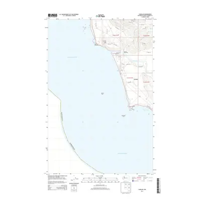
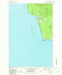 1982 Taholah1982 Print · USGSCoastal Washington in the early eighties shows the settlement of Taholah at the mouth of the Quinault River. Researchers can trace the path of an Old Railroad Grade and locate geological curiosities like the Garfield Gas Mound and Gas Vent.2 unique versions available
 - 2011 Map of Taholah, 2011 Print
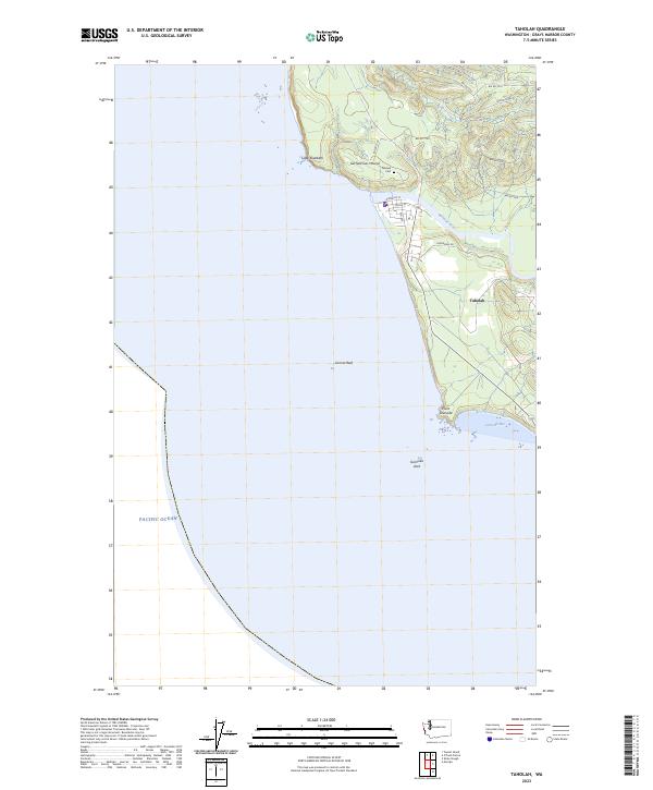
 2011 Taholah2011 Print · USGSCovers Taholah, including Grays Harbor County, United States, and other nearby areas
 - 2014 Map of Taholah, 2014 Print
 2014 Taholah2014 Print · USGSCovers Taholah, including Grays Harbor County, United States, and other nearby areas
 - 2017 Map of Taholah, 2017 Print
 2017 Taholah2017 Print · USGSCovers Taholah, including Grays Harbor County, United States, and other nearby areas
 - 2020 Map of Taholah, 2020 Print
 2020 Taholah2020 Print · USGSCovers Taholah, including Grays Harbor County, United States, and other nearby areas
 - 2023 Map of Taholah, 2023 Print
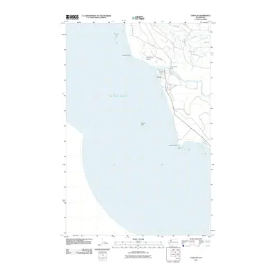
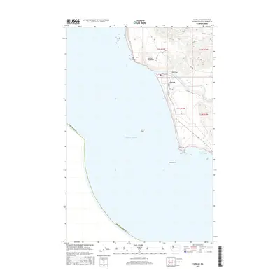
 2023 Taholah2023 Print · USGSThe Quinault reservation village of Taholah and its coastal surroundings are captured here at the mouth of the Quinault River. Genealogists and local researchers can trace roads like Capoeman Dr and find the Taholah Cem near the Garfield Gas Mound.
End of results
Showing maps 1-12 of 12
Top cities near Taholah
Frequently asked questions
- What are the different types of historical maps available for Taholah?
- What is the oldest map of Taholah?
- Where can I purchase historical maps of Taholah for my home or office?
- Where can I download high-res historical maps of Taholah?
- Are there historical topographic maps available for Taholah?
- Is there historical aerial imagery available for Taholah?
- Where are historical maps of Taholah sourced from?