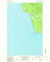
1982 Map of Taholah
USGS Topo · Published 1982About this map
Taholah serves as the focal point of this coastal survey, situated where the Quinault River meets the Pacific Ocean. The settlement shows established local infrastructure, including an Educational Center (Sch) and a Cem near the riverbanks. Unusual geological and industrial features such as Garfield Gas Mound, a Gas Vent, and a Gravel Pit appear in the hills north of town, indicating the specific natural resources and geological activity characteristic of the area.
Find a feature on this map
24 named features on this map. Tap any name to fly to it.
Don’t see what you’re looking for? This feature index may not catch every label — zoom into the map to look around manually.
Map Details
Editions of this 1982 Taholah Map
2 editions found
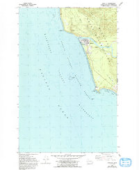
Other maps of this area

1938 · Moclips
USGS Topo · 1:62,500

1941 · Moclips
USGS Topo · 1:62,500

1943 · Copalis Beach
USGS Topo · 1:250,000

1951 · Copalis Beach
USGS Topo · 1:250,000

1955 · Taholah
USGS Topo · 1:62,500

1955 · Macafee Hill
USGS Topo · 1:62,500
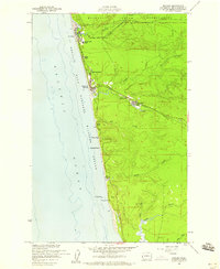
1955 · Moclips
USGS Topo · 1:24,000

1957 · Copalis Beach
USGS Topo · 1:250,000

1963 · Copalis Beach
USGS Topo · 1:250,000
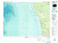
1980 · Copalis Beach
USGS Topo · 1:100,000