Old Maps of Oak Harbor, Washington for Metal Detecting
Plan your next treasure hunt with 19 historic maps of Oak Harbor. Find old homesites, ghost towns, trails, and gathering spots that may be lost to time — perfect for identifying promising metal detecting locations.
- Locate forgotten sites: Uncover places like long-lost settlements, abandoned rail lines, or gathering spots.
- Plan better hunts: Use map overlays combined with LiDAR or satellite views to narrow in on historically rich areas.
- Made for detectorists: Thousands of hobbyists use these maps to discover relics, coins, and hidden history.
Use these historic maps to boost your research and find new opportunities beneath the surface of Oak Harbor.
Oak Harbor, WA maps
(19)- 1943 Map of Deception Pass
 1943 Deception Pass1943 Print · USGSFidalgo and Whidbey Islands are shown in the early 1940s, highlighting the maritime and rail connections of Puget Sound. Researchers can trace the boundaries of the Swinomish Indian Reservation or locate early schools like Fidalgo Sch and Dewey Sch.
 - 1951 Map of Deception Pass, 1953 Print
 1951 Deception Pass1953 Print · USGSWhidbey and Fidalgo Islands appear here in the early fifties as the region's naval and agricultural identities merged. Genealogists and local historians can trace early schools and coastal landmarks like Rosario School, Fort Whitman, and the village of La Conner.3 unique versions available
 - 1957 Map of Victoria, 1960 Print
 1957 Victoria1960 Print · USGSThe San Juan Islands and the North Cascades coastline are shown in detail during the late fifties, a period of significant military and industrial presence. Researchers can trace historic rail lines like the Great Northern or locate sites such as the Whidbey Island Naval Air Sta and Friday Harbor.4 unique versions available
 - 1973 Map of Oak Harbor, 1977 Print
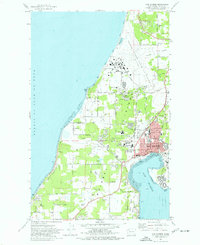 1973 Oak Harbor1977 Print · USGSWhidbey Island during the early seventies reveals the massive infrastructure of Ault Field alongside a growing Oak Harbor. Researchers can trace local heritage through sites like Maple Leaf Cem, Clover Valley School, and the Drive-in Theater.3 unique versions available
 - 1975 Map of Port Townsend, 1977 Print
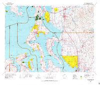 1975 Port Townsend1977 Print · USGSThe northern Puget Sound in the mid-seventies shows a landscape of military readiness and maritime industry. Researchers can trace the extensive Whidbey Island Naval Air Station or locate historic coastal defenses at Fort Casey Military Res and Fort Ebey Military Res.
 - 1977 Map of Crescent Harbor, 1978 Print
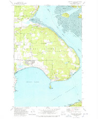 1977 Crescent Harbor1978 Print · USGSWhidbey Island and the northern tip of Camano Island are shown during the late seventies, a time of significant naval presence and rural development. Researchers can trace land use through family-named routes like Elstad Way and locate the sprawling U S Naval Air Station and Maple Grove Beach.3 unique versions available
 - 1993 Map of Port Townsend
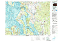 1993 Port Townsend1993 Print · USGSThe Puget Sound and Whidbey Island are captured in the early nineties, showing a landscape defined by naval aviation and maritime trade. Genealogists and local historians can trace the development of Oak Harbor and Coupeville or locate family sites near the Arlington Municipal Cemetery and Ault Field.
 - 1998 Map of Crescent Harbor, 2002 Print
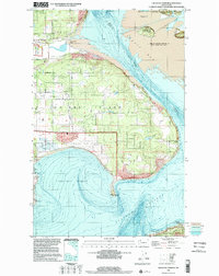 1998 Crescent Harbor2002 Print · USGSNorthern Whidbey Island appears here at the close of the century, centered on the strategic waterfront. Trace the footprint of Whidbey Island Naval Air Station and coastal landmarks like Strawberry Point and Maple Grove Beach.
 - 1998 Map of Oak Harbor, 2002 Print
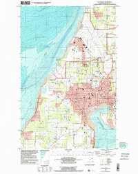 1998 Oak Harbor2002 Print · USGSWhidbey Island is captured in the late nineties as a mix of strategic naval operations and growing island communities. Genealogists and historians can trace property near Maple Leaf Cem or the airfield at Whidbey Island Naval Air Station.
 - 2011 Map of Crescent Harbor, 2011 Print
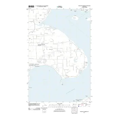 2011 Crescent Harbor2011 Print · USGSWhidbey Island's northern shores are documented here in the early twenty-first century, showing a mix of military history and coastal development. Researchers can trace the legacy of Fort Whitman on Goat Island or locate family-named industrial sites like Kyle's Pit and Krieg Quarry.
 - 2011 Map of Oak Harbor, 2011 Print
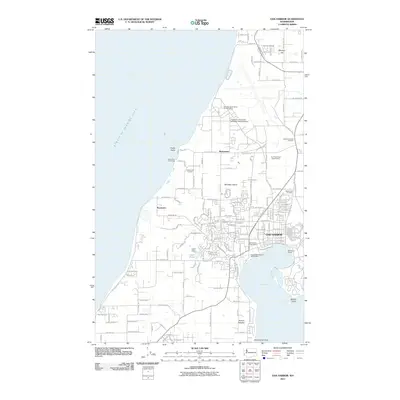 2011 Oak Harbor2011 Print · USGSWhidbey Island in the early twenty-first century reveals a landscape shaped by its naval presence and rugged coastline. Local historians can trace the development of Oak Harbor and find specific local landmarks like Maple Leaf Cemetery and Loers Pond.
 - 2014 Map of Oak Harbor, 2014 Print
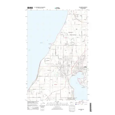 2014 Oak Harbor2014 Print · USGSWhidbey Island in the early twenty-first century reveals a landscape defined by its naval aviation heritage and coastal geography. Researchers can trace local landmarks like Maple Leaf Cem, the AJ Eisenberg Airport, and the expansive Whidbey Island Naval Air Station.
 - 2014 Map of Crescent Harbor, 2014 Print
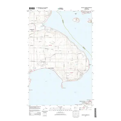 2014 Crescent Harbor2014 Print · USGSWhidbey Island and the surrounding waters of Skagit Bay appear here in the early twenty-first century. Researchers can trace the layout of Oak Harbor and locate coastal landmarks such as Fort Whitman on Goat Island and the shores of Clover Valley.
 - 2017 Map of Crescent Harbor, 2017 Print
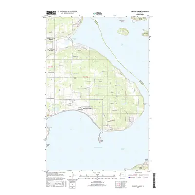 2017 Crescent Harbor2017 Print · USGSWhidbey Island's eastern shore and naval infrastructure are detailed in this modern survey of the Puget Sound coastline. Researchers can trace the layout of NAS Whidbey Island, the growth of Oak Harbor, and landmarks like Strawberry Point.
 - 2017 Map of Oak Harbor, 2017 Print
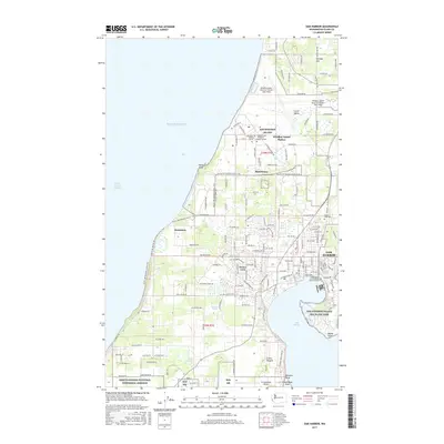 2017 Oak Harbor2017 Print · USGSWhidbey Island at the turn of the 21st century reveals a unique blend of strategic military presence and coastal community life. Researchers can trace the development of Oak Harbor or locate family sites near the Maple Leaf Cem and Ebey's Landing National Historical Reserve.
 - 2020 Map of Oak Harbor, 2020 Print
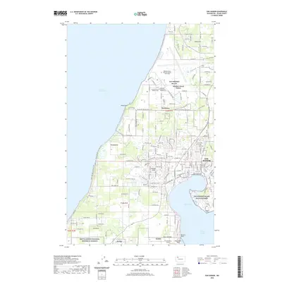 2020 Oak Harbor2020 Print · USGSOak Harbor and northern Whidbey Island appear in 2020 as a blend of strategic military hubs and protected historical lands. Trace the boundaries of Ebey's Landing National Historical Reserve or locate local landmarks like Maple Leaf Cem and Klootchman Rock.
 - 2020 Map of Crescent Harbor, 2020 Print
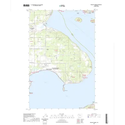 2020 Crescent Harbor2020 Print · USGSWhidbey Island is shown in the modern era as a vital naval hub and residential community surrounded by the waters of the Puget Sound. Genealogists and hikers can trace the Pacific NW National Scenic Trail as it passes near Clover Valley and the Nas Whidbey Island Sea Plane Base.
 - 2023 Map of Crescent Harbor, 2023 Print
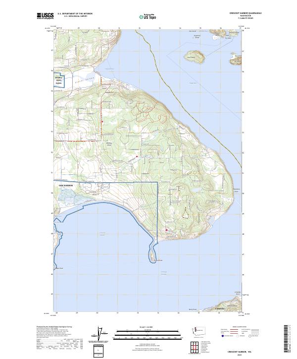 2023 Crescent Harbor2023 Print · USGSWhidbey Island and the surrounding waters of Skagit Bay are captured in this modern survey, showing the area's intricate coastline. Researchers can trace local landmarks from Utsalady Point to the shores of Crescent Harbor and Silver Lake.
 - 2023 Map of Oak Harbor, 2023 Print
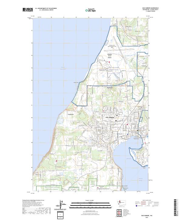 2023 Oak Harbor2023 Print · USGSWhidbey Island at the start of the 2020s shows a unique landscape where military aviation and historic preservation meet. Genealogists and historians can trace cemetery locations like Maple Leaf Cem and Fircrest Cem, or explore the heritage of the Ebey's Landing area.
End of results
Showing maps 1-19 of 19
Top cities near Oak Harbor
- Anacortes historical maps
- Port Townsend historical maps
- Coupeville historical maps
- La Conner historical maps
Frequently asked questions
- What are the different types of historical maps available for Oak Harbor?
- What is the oldest map of Oak Harbor?
- Where can I purchase historical maps of Oak Harbor for my home or office?
- Where can I download high-res historical maps of Oak Harbor?
- Are there historical topographic maps available for Oak Harbor?
- Is there historical aerial imagery available for Oak Harbor?
- Where are historical maps of Oak Harbor sourced from?