2000s (21st Century) Maps of Port Townsend, Washington
Explore 20 historic maps of Port Townsend from the 2000s (21st Century). These maps offer a rare glimpse into what life looked like during the 2000s — showing old roads, neighborhoods, homes, and landmarks that have changed or disappeared over time.
Whether you're researching your family's past, planning a metal detecting trip, or studying how Port Townsend's landscape evolved across the 2000s, these high-resolution maps are a powerful tool for exploring the history of this region.
- Focus on a specific era: All maps on this page are from the 2000s, giving you a focused view of this time period.
- See what’s changed: Compare century-old streets, trails, and buildings to today's modern landscape using overlays and satellite layers.
- Research with precision: Use these maps for genealogy, historical research, land use analysis, or educational projects.
- View, download, or print: Maps are fully viewable online in high resolution, and can be downloaded or printed for your own records.
Start exploring Port Townsend's history through authentic maps from the 2000s. This is your window into the past.
Port Townsend, WA maps
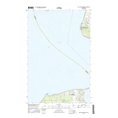
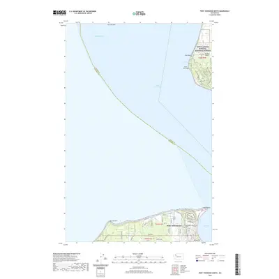
(20)- 2011 Map of Port Townsend North, 2011 Print
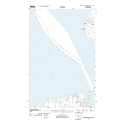 2011 Port Townsend North2011 Print · USGSCovers Port Townsend, including Island County, Jefferson County, and other nearby areas
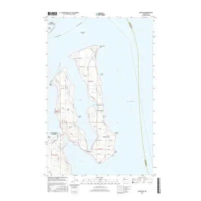
 - 2011 Map of Nordland, 2011 Print
 2011 Nordland2011 Print · USGSCovers Port Townsend, including Marrowstone, Indian Island, and other nearby areas
 - 2011 Map of Port Townsend South, 2011 Print
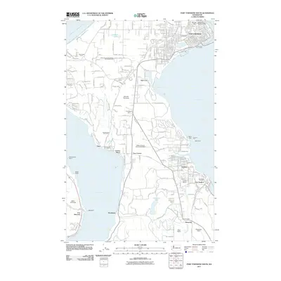 2011 Port Townsend South2011 Print · USGSCovers Port Townsend, including Port Hadlock, Adelma Beach, and other nearby areas
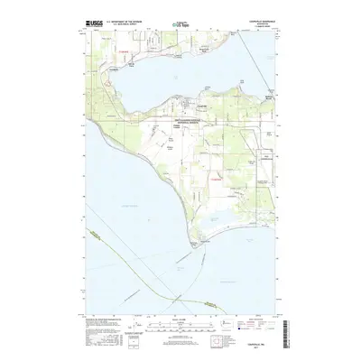
 - 2011 Map of Coupeville, 2011 Print
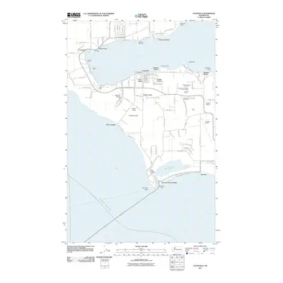 2011 Coupeville2011 Print · USGSCovers Port Townsend, including Coupeville, Penn Cove Park, and other nearby areas
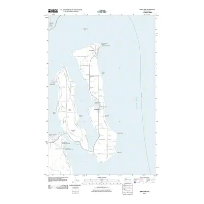
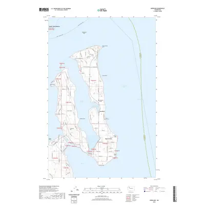
 - 2014 Map of Nordland, 2014 Print
 2014 Nordland2014 Print · USGSCovers Port Townsend, including Marrowstone, Indian Island, and other nearby areas
 - 2014 Map of Port Townsend South, 2014 Print
 2014 Port Townsend South2014 Print · USGSCovers Port Townsend, including Port Hadlock, Adelma Beach, and other nearby areas
 - 2014 Map of Port Townsend North, 2014 Print
 2014 Port Townsend North2014 Print · USGSCovers Port Townsend, including Island County, Jefferson County, and other nearby areas
 - 2014 Map of Coupeville, 2014 Print
 2014 Coupeville2014 Print · USGSCovers Port Townsend, including Coupeville, Penn Cove Park, and other nearby areas
 - 2017 Map of Port Townsend North, 2017 Print
 2017 Port Townsend North2017 Print · USGSCovers Port Townsend, including Island County, Jefferson County, and other nearby areas
 - 2017 Map of Port Townsend South, 2017 Print
 2017 Port Townsend South2017 Print · USGSCovers Port Townsend, including Port Hadlock, Adelma Beach, and other nearby areas
 - 2017 Map of Nordland, 2017 Print
 2017 Nordland2017 Print · USGSCovers Port Townsend, including Marrowstone, Indian Island, and other nearby areas
 - 2017 Map of Coupeville, 2017 Print
 2017 Coupeville2017 Print · USGSCovers Port Townsend, including Coupeville, Penn Cove Park, and other nearby areas
 - 2020 Map of Nordland, 2020 Print
 2020 Nordland2020 Print · USGSCovers Port Townsend, including Marrowstone, Indian Island, and other nearby areas
 - 2020 Map of Port Townsend South, 2020 Print
 2020 Port Townsend South2020 Print · USGSCovers Port Townsend, including Port Hadlock, Adelma Beach, and other nearby areas
 - 2020 Map of Coupeville, 2020 Print
 2020 Coupeville2020 Print · USGSCovers Port Townsend, including Coupeville, Penn Cove Park, and other nearby areas
 - 2020 Map of Port Townsend North, 2020 Print
 2020 Port Townsend North2020 Print · USGSCovers Port Townsend, including Island County, Jefferson County, and other nearby areas
 - 2023 Map of Nordland, 2023 Print
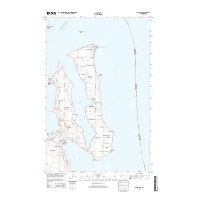
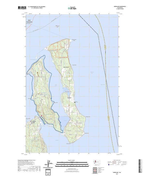 2023 Nordland2023 Print · USGSMarrowstone and Indian Islands are shown in detail during the early 2020s, highlighting the unique maritime geography of Jefferson County. Genealogists and historians can locate View Cem, the community of Nordland, and the strategic Portage Canal.
 - 2023 Map of Port Townsend North, 2023 Print
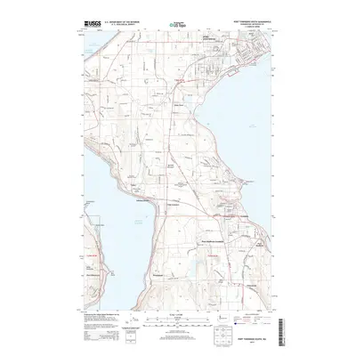
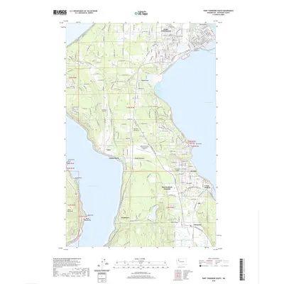
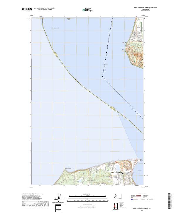 2023 Port Townsend North2023 Print · USGSThe maritime gateway of Port Townsend and the protected shores of Whidbey Island are captured here in the early twenty-first century. Researchers can locate Saint Marys Catholic Cem or trace coastal paths like the Pacific Northwest National Scenic Trl.
 - 2023 Map of Coupeville, 2023 Print
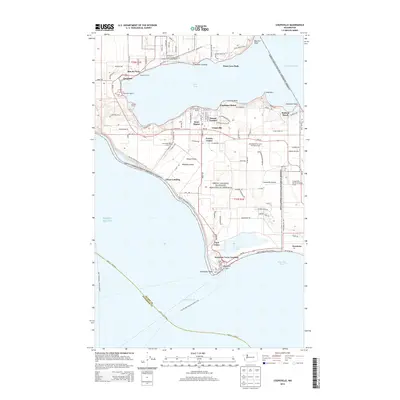
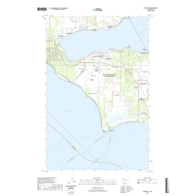
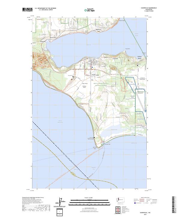 2023 Coupeville2023 Print · USGSWhidbey Island's central corridor shows a fascinating mix of naval aviation and deep-rooted agricultural history in the early twenty-first century. Researchers can locate family sites near Sunnyside Cem or trace the geography of Ebey's Landing National Historical Reserve and San de Fuca.
 - 2023 Map of Port Townsend South, 2023 Print
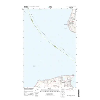
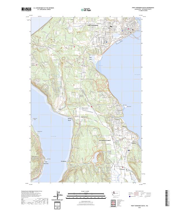 2023 Port Townsend South2023 Print · USGSJefferson County’s maritime and rural landscapes are meticulously detailed in this recent survey of the Quimper Peninsula. Researchers can trace property lines and landmarks from Port Townsend down to Port Hadlock-Irondale and the Greenwood Cem in Chimacum.
End of results
Showing maps 1-20 of 20
Top cities near Port Townsend
- Oak Harbor historical maps
- Port Hadlock historical maps
- Port Ludlow historical maps
- Coupeville historical maps
- Blyn historical maps
Top neighborhoods of Port Townsend
- Rosewind historical maps
- Towne Point historical maps
- Umatilla Hill historical maps
- Business Park historical maps
- Dundee Hill historical maps
- Hamilton Heights historical maps
See more
Frequently asked questions
- What are the different types of historical maps available for Port Townsend?
- What is the oldest map of Port Townsend?
- Where can I purchase historical maps of Port Townsend for my home or office?
- Where can I download high-res historical maps of Port Townsend?
- Are there historical topographic maps available for Port Townsend?
- Is there historical aerial imagery available for Port Townsend?
- Where are historical maps of Port Townsend sourced from?