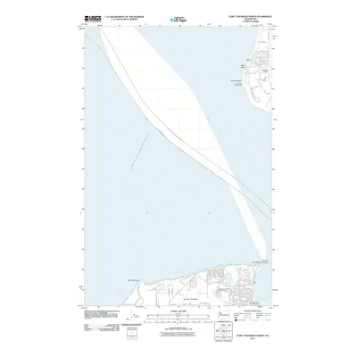
2011 Map of Port Townsend North
USGS Topo · Published 2011About this map
Maritime navigation and coastal geography dominate this survey of the northern tip of the Quimper Peninsula and the western shore of Whidbey Island. Guarding the entrance to the Puget Sound, the Point Wilson Lighthouse and Point Partridge Lighthouse serve as primary maritime landmarks. The expansive Strait of Juan de Fuca separates these landmasses, with established ferry and shipping corridors such as Port Townsend-Friday Harbor and Seattle-Victoria traced across the water. On the peninsula, the northern outskirts of Port Townsend are visible, featuring the Jefferson County Fairgrounds and the Morgan Hill Reservoir Dam. The Whidbey Island side reveals more secluded features like Lake Pondilla and the small residential pockets of Lovers Grove and West Beach, illustrating the coastal residential development of the early 21st century.
Find a feature on this map
76 named features on this map. Tap any name to fly to it.
Don’t see what you’re looking for? This feature index may not catch every label — zoom into the map to look around manually.
Map Details
Editions of this 2011 Port Townsend North Map
This is the sole edition of this map. No revisions or reprints were ever made.
Other maps of this area

1939 · Port Townsend
USGS Topo · 1:62,500

1939 · Coupeville
USGS Topo · 1:62,500

1943 · Richardson
USGS Topo · 1:62,500

1943 · Deception Pass
USGS Topo · 1:62,500

1951 · Deception Pass
USGS Topo · 1:62,500

1953 · Coupeville
USGS Topo · 1:24,000

1953 · Nordland
USGS Topo · 1:24,000

1953 · Port Townsend North
USGS Topo · 1:24,000
1953 · Port Townsend South
USGS Topo · 1:24,000
1953 · Gardiner
USGS Topo · 1:24,000