Old Maps of Riverbend, Washington for Hiking & Exploration
Hike through history with 17 historic maps of Riverbend. Explore old trails, ghost towns, and forgotten backroads — perfect for outdoor adventurers and local explorers.
- Rediscover forgotten places: Map out old mining camps, roads, and footpaths that no longer exist on modern maps.
- Layer with modern tools: Combine with LiDAR or satellite views to plan hikes through historical terrain.
- Made for exploration: Popular among hikers, overlanders, and local history lovers.
Use these maps to find adventure and explore the hidden past of Riverbend.
Riverbend, WA maps
(17)- 1913 Map of Cedar Lake
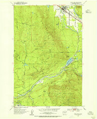
 1913 Cedar Lake1913 Print · USGSThe foothills and peaks of the Cascades appear here just before World War I as industry pushed into the wilderness. Trace early timber and rail history through Kerriston, Selleck, and the Cedar Falls Power Plant.5 unique versions available
 - 1953 Map of North Bend, 1955 Print
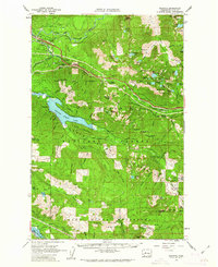
 1953 North Bend1955 Print · USGSThe Snoqualmie Valley and the surrounding Cascades thrive with rail and timber activity in the early fifties. Local historians can trace the footprint of the Milwaukee Road, the Selleck community, and vanished locations like Hemlock (Site).4 unique versions available
 - 1957 Map of Wenatchee, 1973 Print
 1957 Wenatchee1973 Print · USGSThe northern Cascades and Columbia River valley appear here in the mid-fifties, showing the region's critical rail and transit corridors. Researchers can trace the routes of the Great Northern RR and Milwaukee Road through settlements like Skykomish, Baring, and Dryden.2 unique versions available
 - 1960 Map of Bandera, 1962 Print
 1960 Bandera1962 Print · USGSThe Snoqualmie and Green River watersheds dominate this high-country survey from the early sixties. Researchers can trace the Milwaukee Road rail line and locate mountain outposts like Camp Waskowitz and the Horseshoe Mine.3 unique versions available
 - 1975 Map of Snoqualmie Pass, 1977 Print
 1975 Snoqualmie Pass1977 Print · USGSThe central Cascades are shown here in the mid-seventies, just as the regional balance between industrial timber, rail transport, and recreation was shifting. Genealogists and hikers can trace old rail stops like Lester and Nagrom, or follow the Pacific Crest National Scenic Trail past Keechelus Lake.
 - 1989 Map of Chester Morse Lake
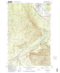
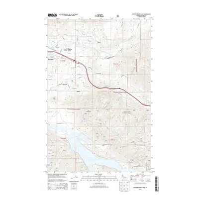
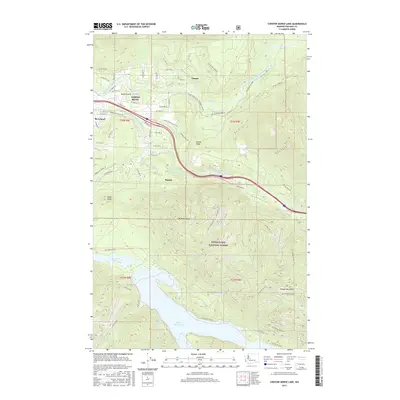
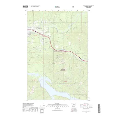
 1989 Chester Morse Lake1989 Print · USGSThe Snoqualmie River valley in the late eighties serves as a busy corridor of industry and infrastructure just before reaching the deep Cascades. Researchers can trace the development of Tanner and Boxley or locate historical sites like Camp Waskowitz and the Horseshoe Mine.
 - 1993 Map of North Bend
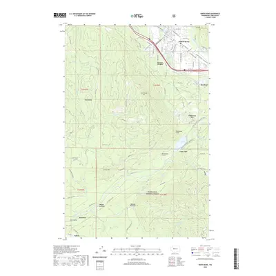
 1993 North Bend1993 Print · USGSNorth Bend and the Snoqualmie Valley are shown here in the early nineties, framed by the industrial and protective boundaries of the Cascades. Researchers can trace the footprints of old timber and mill towns like Kerriston, Barneston, and Selleck.2 unique versions available
 - 2011 Map of North Bend, 2011 Print
 2011 North Bend2011 Print · USGSCovers Riverbend, including North Bend, Tanner, and other nearby areas
 - 2011 Map of Chester Morse Lake, 2011 Print
 2011 Chester Morse Lake2011 Print · USGSCovers Riverbend, including Tanner, Edgewick, and other nearby areas
 - 2014 Map of North Bend, 2014 Print
 2014 North Bend2014 Print · USGSCovers Riverbend, including North Bend, Tanner, and other nearby areas
 - 2014 Map of Chester Morse Lake, 2014 Print
 2014 Chester Morse Lake2014 Print · USGSCovers Riverbend, including Tanner, Edgewick, and other nearby areas
 - 2017 Map of Chester Morse Lake, 2017 Print
 2017 Chester Morse Lake2017 Print · USGSCovers Riverbend, including Tanner, Edgewick, and other nearby areas
 - 2017 Map of North Bend, 2017 Print
 2017 North Bend2017 Print · USGSCovers Riverbend, including North Bend, Tanner, and other nearby areas
 - 2020 Map of Chester Morse Lake, 2020 Print
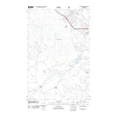
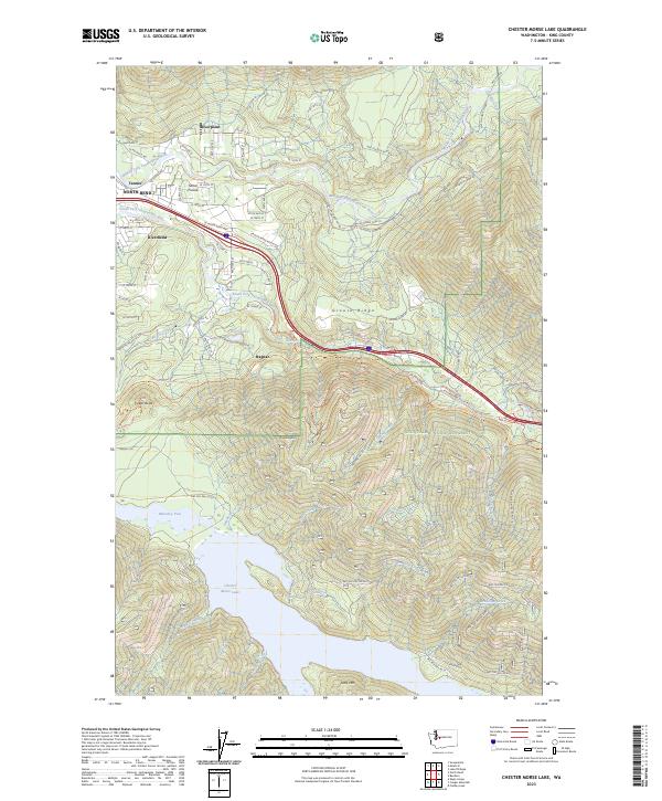
 2020 Chester Morse Lake2020 Print · USGSCovers Riverbend, including Tanner, Edgewick, and other nearby areas
 - 2020 Map of North Bend, 2020 Print
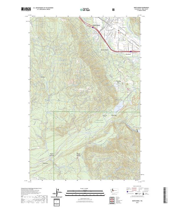
 2020 North Bend2020 Print · USGSCovers Riverbend, including North Bend, Tanner, and other nearby areas
 - 2023 Map of North Bend, 2023 Print
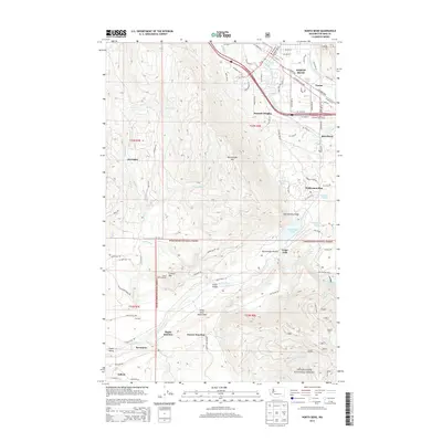
 2023 North Bend2023 Print · USGSNorth Bend and the Snoqualmie Valley are shown here in the 2020s, bridging the gap between suburban growth and the mountain wilderness. Researchers can trace the legacy of timber and rail history at sites like Kerriston, Barneston, and Snoose Junction.
 - 2023 Map of Chester Morse Lake, 2023 Print
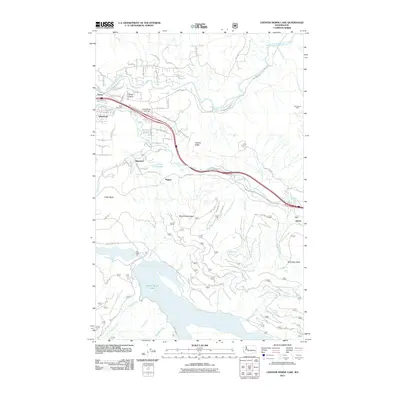
 2023 Chester Morse Lake2023 Print · USGSThe foothills of the Cascades meet the suburban edge in this 2023 survey of King County. You can trace the complex watershed from Chester Morse Lake up to Mt Washington, or explore the residential layouts of Riverbend, Ragnar, and Sallal Prairie near the river forks.
End of results
Showing maps 1-17 of 17
Top cities near Riverbend
- Sammamish historical maps
- Enumclaw historical maps
- Snoqualmie historical maps
- Hobart historical maps
- North Bend historical maps
- Black Diamond historical maps
See more
Frequently asked questions
- What are the different types of historical maps available for Riverbend?
- What is the oldest map of Riverbend?
- Where can I purchase historical maps of Riverbend for my home or office?
- Where can I download high-res historical maps of Riverbend?
- Are there historical topographic maps available for Riverbend?
- Is there historical aerial imagery available for Riverbend?
- Where are historical maps of Riverbend sourced from?