Old Maps of Goldendale, Washington for Academic Research
Study the evolution of Goldendale with 11 high-resolution historic maps. Whether you're teaching, researching, or modeling changes in land use, these maps provide essential visual documentation of urban, environmental, and geographic change.
- Analyze long-term change: Track patterns in development, transportation, and natural features.
- Ideal for environmental or urban studies: Support academic projects with primary historical map data.
- Use in the classroom or lab: Educators and researchers rely on these maps to bring historical context to life.
These maps are a powerful tool for teaching, research, and visualizing how Goldendale has changed over the decades.
Goldendale, WA maps
(11)- 1953 Map of The Dalles, 1965 Print
 1953 The Dalles1965 Print · USGSThe Columbia River Gorge at mid-century shows a region being transformed by massive hydroelectric dams and a growing highway network. Researchers can trace the development of The Dalles Dam, locate the Maryhill Museum, and find old rail stops in Rufus, Wishram, and Arlington.3 unique versions available
 - 1956 Map of The Dalles
 1956 The Dalles1956 Print · USGSThe Columbia River Gorge and the high Cascades are captured in the mid-1950s, showing a vital corridor of rail and road. Researchers can trace the original path of The Old Oregon Trail or locate historical landmarks like the Maryhill Museum and Mount Hood.
 - 1957 Map of The Dalles
 1957 The Dalles1957 Print · USGSThe Columbia River Gorge and the high plateaus of the mid-1950s come alive on this detailed survey of northern Oregon and southern Washington. Researchers can trace the path of the Oregon Trail and The Old Barlow Road alongside river towns like The Dalles and Wishram.
 - 1957 Map of Goldendale, 1959 Print
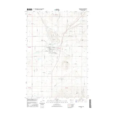
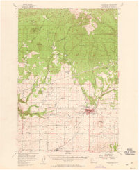 1957 Goldendale1959 Print · USGSMid-century Klickitat County comes alive in this survey of the Goldendale area during its post-war growth. Genealogists and historians can trace local landmarks like Orchard Heights School, the A J Bolon Historic Monument, and the rural settlement of Blockhouse.2 unique versions available
 - 1980 Map of Goldendale, 1981 Print
 1980 Goldendale1981 Print · USGSThe Columbia River corridor in the 1980s was a critical junction of rail, water, and highway commerce between Washington and Oregon. Genealogists and historians can trace riverside settlements like Wishram, high-country towns like Bickleton, and the grounds of the Maryhill Museum.
 - 1983 Map of Goldendale
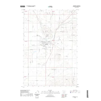
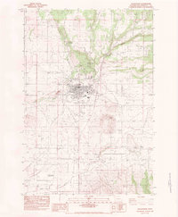 1983 Goldendale1983 Print · USGSGoldendale and the surrounding Klickitat Valley are seen here in the early 1980s, showcasing the region's agricultural and transit corridors. Researchers can trace the Single Track RR past Hamilton or locate the Astronomical Observatory and Bloodgood Spring.
 - 2011 Map of Goldendale, 2011 Print
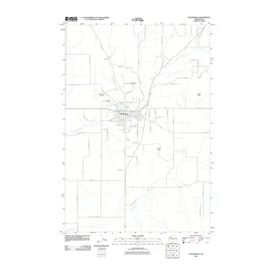 2011 Goldendale2011 Print · USGSCovers Goldendale, including Klickitat County, United States, and other nearby areas
 - 2013 Map of Goldendale, 2013 Print
 2013 Goldendale2013 Print · USGSCovers Goldendale, including Klickitat County, United States, and other nearby areas
 - 2017 Map of Goldendale, 2017 Print
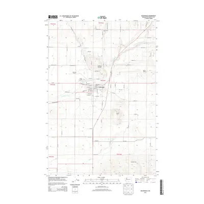
 2017 Goldendale2017 Print · USGSCovers Goldendale, including Klickitat County, United States, and other nearby areas
 - 2020 Map of Goldendale, 2020 Print
 2020 Goldendale2020 Print · USGSCovers Goldendale, including Klickitat County, United States, and other nearby areas
 - 2023 Map of Goldendale, 2023 Print
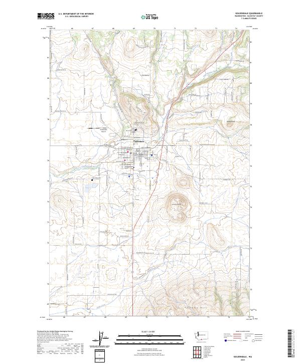 2023 Goldendale2023 Print · USGSGoldendale and the surrounding Klickitat County highlands are captured here in the early twenty-first century. Researchers can trace local heritage sites like Mountain View Cemetery and the Klickitat County Courthouse while following the paths of Swale Creek and the Little Klickitat River.
End of results
Showing maps 1-11 of 11
Top cities near Goldendale
Frequently asked questions
- What are the different types of historical maps available for Goldendale?
- What is the oldest map of Goldendale?
- Where can I purchase historical maps of Goldendale for my home or office?
- Where can I download high-res historical maps of Goldendale?
- Are there historical topographic maps available for Goldendale?
- Is there historical aerial imagery available for Goldendale?
- Where are historical maps of Goldendale sourced from?