Old Maps of Fort Spokane, Washington for Metal Detecting
Plan your next treasure hunt with 12 historic maps of Fort Spokane. Find old homesites, ghost towns, trails, and gathering spots that may be lost to time — perfect for identifying promising metal detecting locations.
- Locate forgotten sites: Uncover places like long-lost settlements, abandoned rail lines, or gathering spots.
- Plan better hunts: Use map overlays combined with LiDAR or satellite views to narrow in on historically rich areas.
- Made for detectorists: Thousands of hobbyists use these maps to discover relics, coins, and hidden history.
Use these historic maps to boost your research and find new opportunities beneath the surface of Fort Spokane.
Fort Spokane, WA maps
(12)- 1948 Map of Lincoln, 1968 Print
 1948 Lincoln1968 Print · USGSThe mid-century transformation of the upper Columbia River is captured here as the new reservoir rises. Researchers can trace the legacy of Fort Spokane, old schoolhouses like Enterprise Sch, and the layout of Bachelor Prairie.2 unique versions available
 - 1950 Map of Lincoln
 1950 Lincoln1950 Print · USGSThe Columbia and Spokane Rivers converge here just after the filling of Lake Roosevelt, shaping the borders of two tribal nations. Genealogists and local historians can locate early schools like Rothlisburg Sch, the landmark Fort Spokane, and the community of Lincoln.2 unique versions available
 - 1953 Map of Ritzville, 1966 Print
 1953 Ritzville1966 Print · USGSEastern Washington was undergoing a massive agricultural and industrial transformation in the mid-fifties as irrigation from the Grand Coulee Dam reached the plateau. Researchers can trace the mid-century rail network of the Great Northern and locate vital local sites like Larson Air Force Base and Odessa.3 unique versions available
 - 1959 Map of Ritzville
 1959 Ritzville1959 Print · USGSEastern Washington in the late fifties reveals a landscape transformed by massive irrigation projects and postwar growth. Genealogists and historians can trace rail-line communities from Ritzville to Davenport and locate landmarks like Larson Air Force Base and Telford Station.
 - 1965 Map of Ritzville
 1965 Ritzville1965 Print · USGSCentral Washington during the mid-sixties shows a landscape shaped by massive irrigation projects and the Cold War. Genealogists and historians can trace rail-town life and military presence through Ephrata Air Base, the Telford Station, and local schools.
 - 1983 Map of Coulee Dam
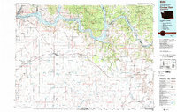 1983 Coulee Dam1983 Print · USGSThe high plateau and deep coulees of central Washington are captured here in the early eighties, centered on the massive Franklin D Roosevelt Lake and the towns of Coulee Dam and Grand Coulee. Researchers can trace the Burlington Northern rail corridor through old stops at Govan and Mondovi or locate the historic Fort Spokane.2 unique versions available
 - 1985 Map of Fort Spokane
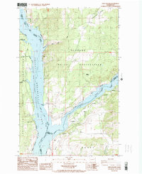 1985 Fort Spokane1985 Print · USGSThe confluence of the Columbia and Spokane Rivers is captured here in the mid-1980s, documenting the intersection of tribal lands and federal recreation areas. Researchers can locate the historic Fort Spokane site, the settlement of Miles, and landmarks like Castle Rock.
 - 2011 Map of Fort Spokane, 2011 Print
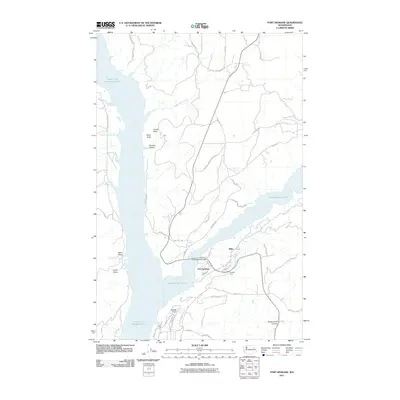 2011 Fort Spokane2011 Print · USGSThe Spokane River Arm and the Columbia River meet here within the Spokane Indian Reservation during the early twenty-first century. Genealogists and historians can trace local landmarks such as Fort Spokane, Miles, and the distinctive Mitre Rock.
 - 2013 Map of Fort Spokane, 2013 Print
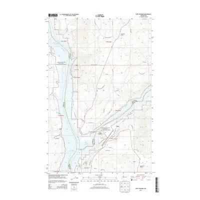 2013 Fort Spokane2013 Print · USGSThe confluence of the Columbia and Spokane rivers is captured here in the early twenty-first century, showing the meeting of three counties. Local historians can trace family-named landmarks and small communities like Miles, Crystal City, and the high-plateau settlement of Egypt.
 - 2017 Map of Fort Spokane, 2017 Print
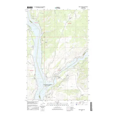 2017 Fort Spokane2017 Print · USGSThe confluence of the Columbia and Spokane rivers is documented here in the era of the modern reservoir. Genealogists and researchers can trace local landmarks like Miles and Swede Flats alongside the historic site of Fort Spokane.
 - 2020 Map of Fort Spokane, 2020 Print
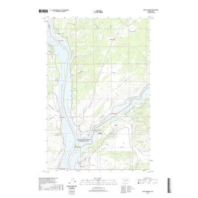 2020 Fort Spokane2020 Print · USGSThe confluence of the Columbia and Spokane rivers is documented here in the early twenty-first century, highlighting a landscape shaped by water and high plateau. Researchers can trace the layout of Fort Spokane, the small settlement of Miles, and landmarks like Miller Mountain and Swede Flats.
 - 2023 Map of Fort Spokane, 2023 Print
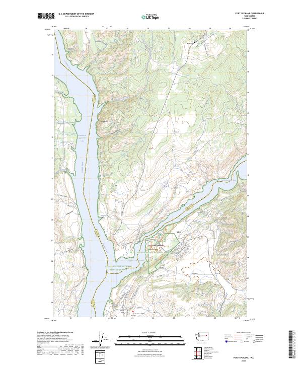 2023 Fort Spokane2023 Print · USGSThe confluence of the Columbia and Spokane Rivers is documented here within the Lake Roosevelt National Recreation Area. Researchers can find historical burial grounds like the Swede Flats Lutheran Cem and trace the local geography of Miles and Abraham Cove.
End of results
Showing maps 1-12 of 12
Top cities near Fort Spokane
Frequently asked questions
- What are the different types of historical maps available for Fort Spokane?
- What is the oldest map of Fort Spokane?
- Where can I purchase historical maps of Fort Spokane for my home or office?
- Where can I download high-res historical maps of Fort Spokane?
- Are there historical topographic maps available for Fort Spokane?
- Is there historical aerial imagery available for Fort Spokane?
- Where are historical maps of Fort Spokane sourced from?