1960s Maps of Pend Oreille County, Washington
Explore 40 historic maps of Pend Oreille County from the 1960s. These maps offer a rare glimpse into what life looked like during the 1960s — showing old roads, neighborhoods, homes, and landmarks that have changed or disappeared over time.
Whether you're researching your family's past, planning a metal detecting trip, or studying how Pend Oreille County's landscape evolved across the 1960s, these high-resolution maps are a powerful tool for exploring the history of this region.
- Focus on a specific era: All maps on this page are from the 1960s, giving you a focused view of this time period.
- See what’s changed: Compare century-old streets, trails, and buildings to today's modern landscape using overlays and satellite layers.
- Research with precision: Use these maps for genealogy, historical research, land use analysis, or educational projects.
- View, download, or print: Maps are fully viewable online in high resolution, and can be downloaded or printed for your own records.
Start exploring Pend Oreille County's history through authentic maps from the 1960s. This is your window into the past.
Pend Oreille County, WA maps
(40)- 1963 Map of Sandpoint
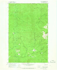
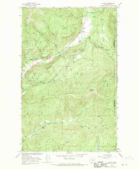
 1963 Sandpoint1963 Print · USGSNorthern Idaho and eastern Washington are shown in the early sixties as a high-country network of timber, mining, and rail. Genealogists and historians can trace the Great Northern line through Metaline Falls, Bonners Ferry, and past the Finch Mine.
 - 1964 Map of Calispell Peak, 1966 Print
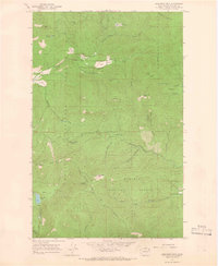
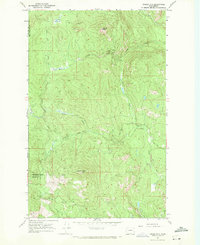
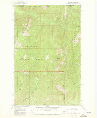
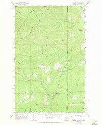
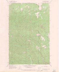
 1964 Calispell Peak1966 Print · USGSThe high divide between Stevens and Pend Oreille counties is captured here in the mid-1960s, showing a rugged landscape of national forests and seasonal meadows. Researchers can trace family-named landmarks like Pal Moore Meadow and Hartill Meadows or locate Phillips Lake near the game range boundary.3 unique versions available
 - 1964 Map of Goddards Peak, 1966 Print
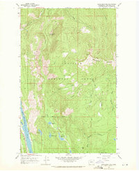
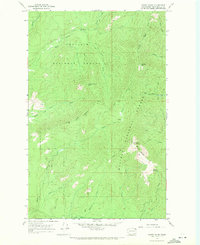
 1964 Goddards Peak1966 Print · USGSStevens County’s high peaks and national forest boundaries are captured here in the mid-1960s. Researchers can trace historic access routes like the Flowery Trail Road to landmarks such as the Lookout Tower on Chewelah Mtn.4 unique versions available
 - 1964 Map of Chewelah Mtn, 1966 Print
 1964 Chewelah Mtn1966 Print · USGSThe mining and rail corridor of the Colville River valley comes into sharp focus during the mid-sixties. Genealogists and historians can locate family-named landmarks and industrial sites like the Copper King No 1 Mine, St Marys Mission, and the Northern Pacific RR through Chewelah.2 unique versions available
 - 1965 Map of Nelson Peak, 1967 Print
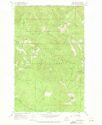
 1965 Nelson Peak1967 Print · USGSThe timbered high country of the Stevens and Pend Oreille county line is captured here in the mid-sixties. Genealogists and historians can locate remote landmarks like Camp Hafer, Kaniksu Ranch, and several mining prospects near Nelson Peak.3 unique versions available
 - 1966 Map of Aladdin, 1969 Print
 1966 Aladdin1969 Print · USGSMountainous mining country near the Stevens and Pend Oreille County line comes into focus in the mid-1960s. Researchers can locate remote industrial sites like the Morning Mine or trace community roots in the Bon Ayre Valley near the Bon Ayre School.3 unique versions available
 - 1966 Map of Lake Gillette, 1969 Print
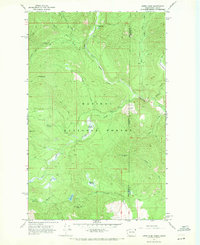
 1966 Lake Gillette1969 Print · USGSThe mid-1960s landscape of Stevens County is defined here by the chain of lakes along the Little Pend Oreille River. Genealogists and historians can trace old homestead sites and clearings like Scrabblers Flat, Hosmer, and the Spruce Canyon Youth Camp.4 unique versions available
 - 1967 Map of Aladdin Mtn, 1969 Print
 1967 Aladdin Mtn1969 Print · USGSThe high Selkirk country straddling the Stevens and Pend Oreille county line is captured here in the late sixties. Researchers can trace the legacy of local prospecting at the Aladdin Mine and Middleport Mine, or locate historic lakeside spots like Princess Pine Camp.4 unique versions available
 - 1967 Map of Gypsy Peak, 1971 Print
 1967 Gypsy Peak1971 Print · USGSPend Oreille County sits along the international border in the late sixties, showing a wilderness of mineral prospects and high lookout points. Genealogists and hikers can trace old routes like the Lookout Cr Trail to find the Lead Hill Mine or the Lookout Tower atop Sullivan Mtn.3 unique versions available
 - 1967 Map of Timber Mtn., 1971 Print
 1967 Timber Mtn.1971 Print · USGSPend Oreille and Stevens counties are captured in the late sixties as a landscape of high-altitude mining and wildlife conservation. Researchers can locate the High Noon Mine, trace the Tacoma Divide Road, and explore the bounds of the Little Pend Oreille Nat Wildlife Refuge.2 unique versions available
 - 1967 Map of Ione, 1971 Print
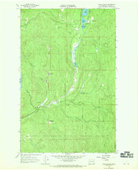
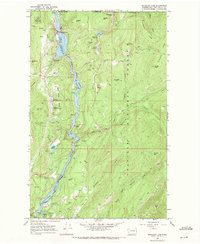
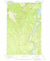
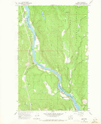
 1967 Ione1971 Print · USGSThe Pend Oreille River valley in the late sixties shows a landscape defined by timber, rail, and water. Genealogists and historians can locate the Riverside Cem near Ione or trace the Milwaukee Road railroad through Tiger.4 unique versions available
 - 1967 Map of Scotchman Lake, 1971 Print
 1967 Scotchman Lake1971 Print · USGSThe wilderness of the Colville National Forest is captured here in the late sixties, showing the high-country drainages of Pend Oreille. Researchers can trace the Milwaukee Road rail line or locate remote waters like Scotchman Lake and Deception Lake.3 unique versions available
 - 1967 Map of Boundary Dam, 1971 Print
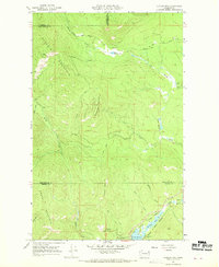
 1967 Boundary Dam1971 Print · USGSIn the late sixties, the canyon of the Pend Oreille River was a center of utility and mining at the edge of the Canadian border. Genealogists and historians can trace industrial roots at the Pend Oreille Mine or locate the solitary Harvey Grave deep in the hills.2 unique versions available
 - 1967 Map of Salmo Mtn., 1971 Print
 1967 Salmo Mtn.1971 Print · USGSThe high Selkirk wilderness of the late sixties is documented here at the intersection of the Washington, Idaho, and Canadian borders. Trace historical access routes through the mountains via the Pack Trail system and locate the Lookout Tower atop Salmo Mountain.3 unique versions available
 - 1967 Map of Metaline, 1971 Print
 1967 Metaline1971 Print · USGSThe Pend Oreille River valley in the late 1960s reveals a landscape defined by mining, rail transport, and forestry. Researchers can trace the local mining footprint at the Oriole Mine or locate family sites near Perkins Cem and Selkirk High Sch.3 unique versions available
 - 1967 Map of Metaline Falls, 1971 Print
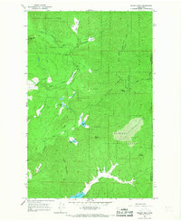
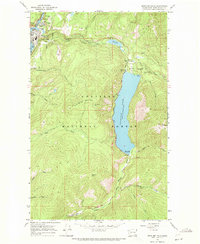 1967 Metaline Falls1971 Print · USGSMetaline Falls and the surrounding Colville National Forest are captured in the late sixties as centers of mining and mountain recreation. Trace local history at the IOOF Cem, the Grandview Mine, and the waters of Sullivan Lake.3 unique versions available
 - 1967 Map of Monumental Mtn., 1971 Print
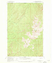
 1967 Monumental Mtn.1971 Print · USGSNortheastern Washington’s high-country wilderness is documented here in the late sixties, where the Colville and Kaniksu National Forests meet. Researchers can trace remote summits like Molybdenum Mountain and the unique high-elevation waters of Bunchgrass Lake.3 unique versions available
 - 1967 Map of Helmer Mtn, 1971 Print
 1967 Helmer Mtn1971 Print · USGSThe high Selkirk Mountains on the Washington-Idaho border come into focus in the late 1960s, showing a landscape of deep timber and steep drainages. Hikers and historians can trace the Thunder Creek Trail or locate the Roosevelt Grove of Ancient Cedars and Stagger Inn Campground.3 unique versions available
 - 1967 Map of Pass Creek, 1971 Print
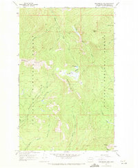
 1967 Pass Creek1971 Print · USGSPend Oreille County's high forest interior is captured here in the late sixties, showing the rugged convergence of two national forests. Researchers can locate remote landmarks like the Last Chance Cabin, the Mine at Totem Gulch, and early campsites such as Sullivan Creek Campground No 2.3 unique versions available
 - 1967 Map of Orwig Hump, 1971 Print
 1967 Orwig Hump1971 Print · USGSThe Washington and Idaho borderlands come into focus during the late sixties, showing a wilderness landscape shaped by mountain peaks and remote meadows. Trace the high-country trails leading to the Lookout Tower on Indian Mtn or the waters of Huff Lake and Petit Lake.2 unique versions available
 - 1967 Map of North Baldy, 1971 Print
 1967 North Baldy1971 Print · USGSThe high Selkirk backcountry of Pend Oreille County is captured here in the late 1960s, showing the intersection of two major national forests. Hikers and historians can trace high-altitude routes via the Pack Trail and Jeep Trail systems leading to the North Baldy Lookout Tower and Grouse Springs.3 unique versions available
 - 1967 Map of Gleason Mtn, 1971 Print
 1967 Gleason Mtn1971 Print · USGSThe Washington-Idaho borderlands in the late sixties remain a backcountry of deep valleys and high peaks. Researchers can locate the Last Chance Mine or trace the remote pack trails winding past Kalispell Falls and Gleason Mountain.2 unique versions available
 - 1967 Map of Ruby, 1971 Print
 1967 Ruby1971 Print · USGSThe Pend Oreille River valley in the late sixties reveals a landscape of railroad towns and mining history within the Colville National Forest. Researchers can locate the vanished Diamond City (Site), trace the Milwaukee Road rail line, and find old river crossings like the FERRY at Ruby.2 unique versions available
 - 1967 Map of Abercrombie Mtn, 1986 Print
 1967 Abercrombie Mtn1986 Print · USGSThe high Selkirk Mountains on the Washington-Canada border are documented here in the mid-twentieth century as a landscape of mining and forest service activity. Researchers can locate the Gold Hill Mine, trace the Pack Trail beneath Baldy Abercrombie Mtn, and follow the remote Standard Road.
 - 1968 Map of Cusick
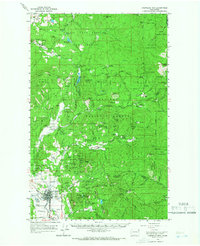
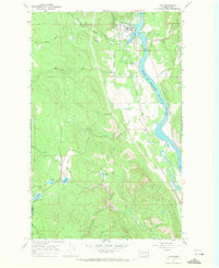
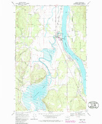 1968 Cusick1968 Print · USGSAlong the Pend Oreille River in the mid-1960s, the riverfront settlements and tribal lands of northeast Washington were clearly defined. Researchers can trace the boundaries of the Kalispel Indian Reservation and locate landmarks like the Indian Community Hall and County Fairground.4 unique versions available
Showing maps 1-25 of 40
Top cities of Pend Oreille County
- Newport historical maps
- Ione historical maps
- Metaline Falls historical maps
- Cusick historical maps
- Metaline historical maps
Frequently asked questions
- What are the different types of historical maps available for Pend Oreille County?
- What is the oldest map of Pend Oreille County?
- Where can I purchase historical maps of Pend Oreille County for my home or office?
- Where can I download high-res historical maps of Pend Oreille County?
- Are there historical topographic maps available for Pend Oreille County?
- Is there historical aerial imagery available for Pend Oreille County?
- Where are historical maps of Pend Oreille County sourced from?