2020s Maps of Pend Oreille County, Washington
Explore 82 historic maps of Pend Oreille County from the 2020s. These maps offer a rare glimpse into what life looked like during the 2020s — showing old roads, neighborhoods, homes, and landmarks that have changed or disappeared over time.
Whether you're researching your family's past, planning a metal detecting trip, or studying how Pend Oreille County's landscape evolved across the 2020s, these high-resolution maps are a powerful tool for exploring the history of this region.
- Focus on a specific era: All maps on this page are from the 2020s, giving you a focused view of this time period.
- See what’s changed: Compare century-old streets, trails, and buildings to today's modern landscape using overlays and satellite layers.
- Research with precision: Use these maps for genealogy, historical research, land use analysis, or educational projects.
- View, download, or print: Maps are fully viewable online in high resolution, and can be downloaded or printed for your own records.
Start exploring Pend Oreille County's history through authentic maps from the 2020s. This is your window into the past.
Pend Oreille County, WA maps
(82)- 2020 Map of Abercrombie Mountain OE N, 2020 Print
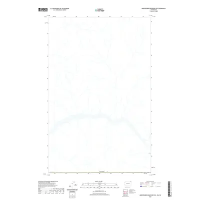 2020 Abercrombie Mountain OE N2020 Print · USGSThe international border with CANADA marks the southern limit of this 2020 topographic survey of the high-altitude wilderness. Map collectors and researchers can trace the intricate network of mountain drainage systems and streams that define this remote section of the northern frontier.
 - 2020 Map of Boundary Dam OE N, 2020 Print
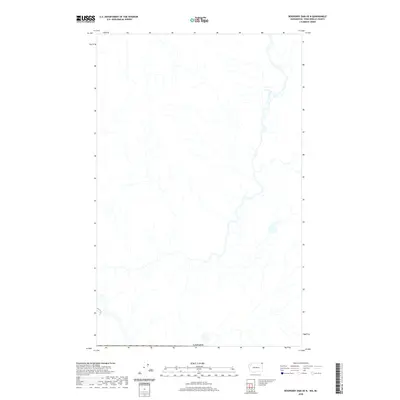 2020 Boundary Dam OE N2020 Print · USGSThis high-country survey captures the remote wilderness at the northern border in 2020. Collectors and hikers can trace the natural drainage patterns and the historic international boundary with CANADA through this rugged mountain terrain.
 - 2020 Map of Camden, 2020 Print
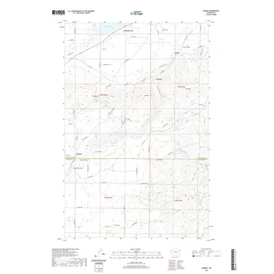 2020 Camden2020 Print · USGSPend Oreille County near the Spokane border is shown in the modern era, where the Little Spokane River winds through high ridges and hidden valleys. Genealogists and local historians can trace family-named routes and old settlements like Camden, Scotia, and the Frideger Road Bridge crossing.
 - 2020 Map of Fan Lake, 2020 Print
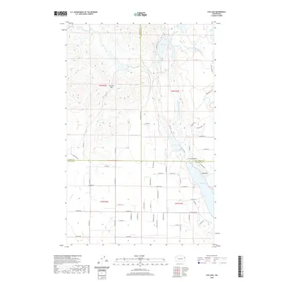 2020 Fan Lake2020 Print · USGSSpokane and Stevens counties meet in this 2020 survey of a lake-dotted landscape during its recent period of growth. Genealogists and hikers can trace the shores of Eloika Lake to the settlement at Sandy Beach or explore the heights of Porcupine Pass.
 - 2020 Map of Tweedie, 2020 Print
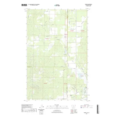 2020 Tweedie2020 Print · USGSThe borderlands of Washington and Idaho come into focus in this contemporary survey of the rural high country. Genealogists and local historians can trace family-named routes like Hoo Doo Loop Rd and School House Rd near Tweedie and Lake San Souci.
 - 2020 Map of Galena Point, 2020 Print
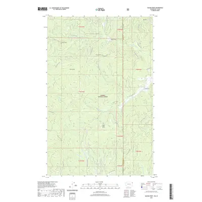 2020 Galena Point2020 Print · USGSThe high timberlands along the Idaho-Washington border are documented here in the early twenty-first century. Researchers can trace the complex drainage system of the Upper W Br Priest River and remote landmarks like Pelke Divide and Big Meadows.
 - 2020 Map of Diamond Lake, 2020 Print
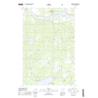 2020 Diamond Lake2020 Print · USGSIn the early twenty-first century, the riverfront and timberlands of Pend Oreille County maintain their rural character. Researchers can trace land tracts near Diamond Lake or follow the Pend Oreille River to the small settlements of Delkena and Furport.
 - 2020 Map of Tacoma Peak, 2020 Print
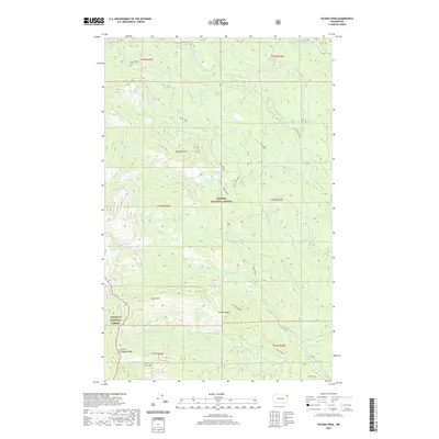 2020 Tacoma Peak2020 Print · USGSPend Oreille County’s high timberlands appear here in the modern era, showing the protected wilderness of two national forests. Trace mountain trails and remote water sources like Batey Bould Loop, Dirty Shirt, and Conger Lake.
 - 2020 Map of Skookum Creek, 2020 Print
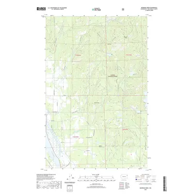 2020 Skookum Creek2020 Print · USGSPend Oreille County's high-country wilderness is documented here in the early twenty-first century as part of the Kaniksu National Forest. Researchers can map the rugged drainage of Skookum Creek and locate remote landmarks like Skookum Peak, Cooks Lake, and Bear Paw Ridge.
 - 2020 Map of Sacheen Lake, 2020 Print
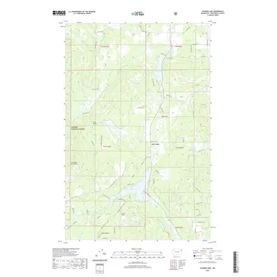 2020 Sacheen Lake2020 Print · USGSPend Oreille County lake country is shown here as the Kaniksu National Forest gives way to rural valley settlements. Researchers can trace land use and local access roads near Sacheen Lake, Deer Valley, and the shoreline of Davis Lake.
 - 2020 Map of Abercrombie Mountain, 2020 Print
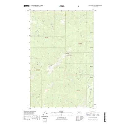 2020 Abercrombie Mountain2020 Print · USGSStevens County is shown here in the contemporary era as a landscape of high summits and winding forest trails. Hikers and historians can trace the Pacific NW National Scenic Trail as it passes Hooknose Lake and Abercrombie Mtn.
 - 2020 Map of Helmer Mountain, 2020 Print
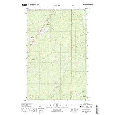 2020 Helmer Mountain2020 Print · USGSThe high ridges of the Idaho-Washington border come into focus in this recent survey of the Priest River backcountry. Trace the remote drainage of the Upper Priest River past Granite Falls and the secluded Muskegon Lake.
 - 2020 Map of Ione, 2020 Print
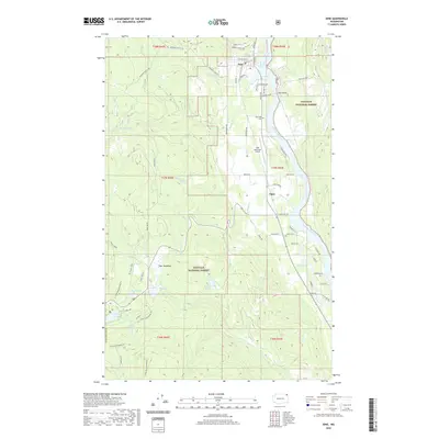 2020 Ione2020 Print · USGSThe Pend Oreille River valley remained a vital corridor of the Pacific Northwest in the early twenty-first century. Researchers can locate family landmarks like Riverside Cem, the remote settlement of Tiger, and local landmarks such as the Ione Bridge.
 - 2020 Map of Monumental Mountain, 2020 Print
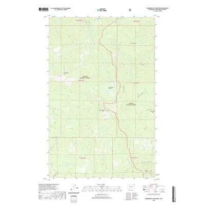 2020 Monumental Mountain2020 Print · USGSPend Oreille County's high ridges and national forest lands are documented here in the early twenty-first century. Researchers can trace the drainages of Harvey Creek and find prominent landmarks like Molybdenite Mtn and Bunchgrass Lake.
 - 2020 Map of Gleason Mountain, 2020 Print
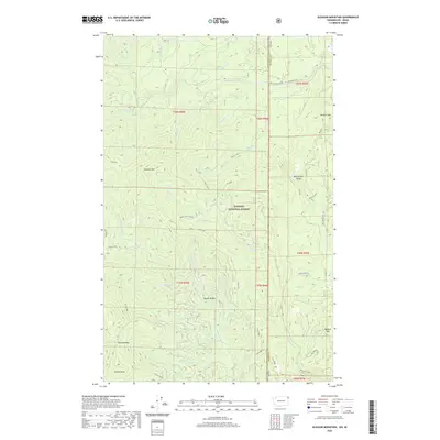 2020 Gleason Mountain2020 Print · USGSThe high Selkirk Mountains on the Washington-Idaho border are shown in detail as they appeared recently. Outdoor historians and researchers can trace remote landmarks like Kalispell Falls, Bath Creek Gorge, and the high summit of Gleason Mtn.
 - 2020 Map of Calispell Peak, 2020 Print
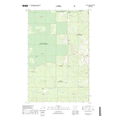 2020 Calispell Peak2020 Print · USGSNortheastern Washington's high country is documented here in the early twenty-first century. Researchers can trace land use through prominent features like Pal Moore Meadow, Phillips Lake, and the summit of Calispell Peak.
 - 2020 Map of Newport, 2020 Print
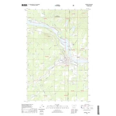 2020 Newport2020 Print · USGSThe border communities of the Pend Oreille River valley come into focus in this contemporary survey of the Washington-Idaho state line. Researchers can trace the layout of Newport and Oldtown, locate the Newport Cem, and explore the reach of the Kaniksu National Forest.
 - 2020 Map of Winchester Peak, 2020 Print
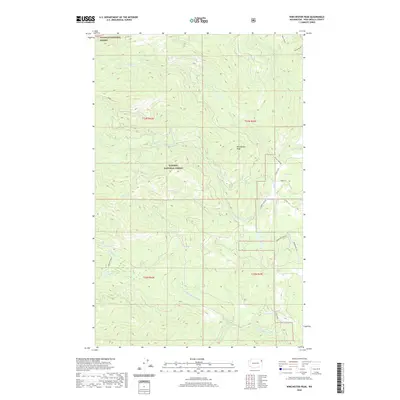 2020 Winchester Peak2020 Print · USGSThe high Selkirk terrain of Pend Oreille County is captured here in the years following the turn of the millennium. Researchers can trace the drainages of N Fork Calispell Cr and Small Cr or locate specific forest landmarks like Winchester Peak and Batey Bould.
 - 2020 Map of Deep Lake, 2020 Print
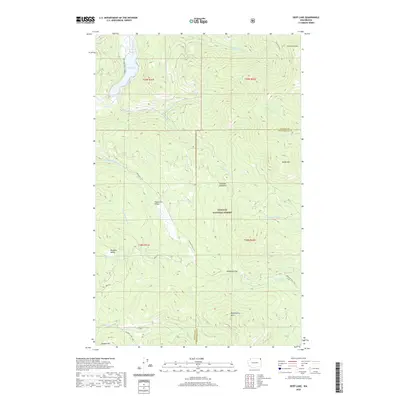 2020 Deep Lake2020 Print · USGSNortheastern Washington’s high-country terrain is captured here in the years following the millennium, showing the remote forest lands along the Stevens and Pend Oreille county line. Trace the routes through Smackout Valley and Paradise Valley or locate landmarks like Deep Lake and Smackout Pass.
 - 2020 Map of Cusick, 2020 Print
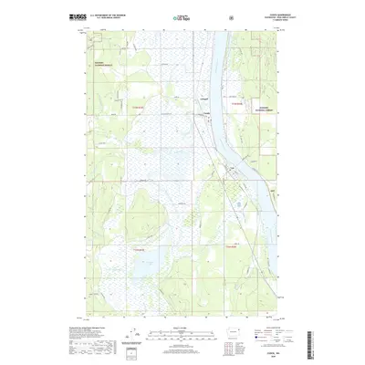 2020 Cusick2020 Print · USGSThe Pend Oreille River valley comes into focus here in the early twenty-first century, showing the enduring riverside settlements of Cusick and Usk. Researchers can trace local water systems and land use from Calispell Lake to the timbered reaches of the Kaniksu National Forest.
 - 2020 Map of Aladdin, 2020 Print
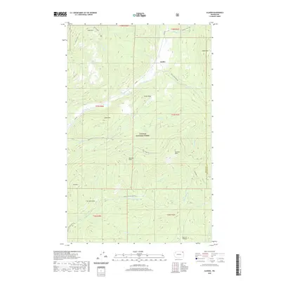 2020 Aladdin2020 Print · USGSNortheastern Washington’s high-country terrain is captured here in the contemporary era, centered on the historic settlement of Aladdin. Researchers can trace the drainage patterns and forestry access routes around Bon Ayre Valley, Bestrom Meadows, and Gillette Ridge.
 - 2020 Map of Boyer Mountain, 2020 Print
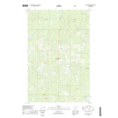 2020 Boyer Mountain2020 Print · USGSThe high peaks of the Selkirk Mountains are documented in this 2020 survey of the borderlands between Stevens and Pend Oreille counties. Trace the rugged drainages of Middle Fork Calispell Cr or locate specific elevations at Boyer Mtn and Power Peak.
 - 2020 Map of Nelson Peak, 2020 Print
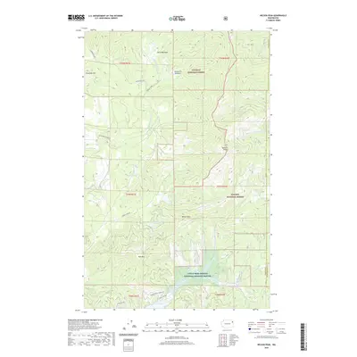 2020 Nelson Peak2020 Print · USGSStevens County’s high mountain ridges and alpine lakes are captured in this modern survey of the Selkirk foothills. Researchers can trace forest access routes like Grouse Creek Rd and locate remote landmarks such as Bald Mtn and Horseshoe Lake.
 - 2020 Map of Jared, 2020 Print
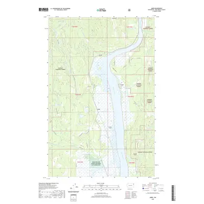 2020 Jared2020 Print · USGSThe Pend Oreille River valley near the Idaho border is shown here as it appeared in 2020. You can trace the river's shoreline from Sullivan Point past the settlements of Jared and Locke, or explore the drainages of Cusick Creek and Tacoma Creek.
 - 2020 Map of Goddards Peak, 2020 Print
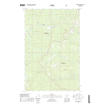 2020 Goddards Peak2020 Print · USGSThe high ridges of Stevens County are captured here in the 2020s, showing a landscape of national forests and high-country meadows. Researchers can locate family-named landmarks like Dahlstrom Meadow or Wilson Mtn and trace the paths of Ninebark Road and the Flowery Trail.
Showing maps 1-25 of 82
Top cities of Pend Oreille County
- Newport historical maps
- Ione historical maps
- Metaline Falls historical maps
- Cusick historical maps
- Metaline historical maps
Frequently asked questions
- What are the different types of historical maps available for Pend Oreille County?
- What is the oldest map of Pend Oreille County?
- Where can I purchase historical maps of Pend Oreille County for my home or office?
- Where can I download high-res historical maps of Pend Oreille County?
- Are there historical topographic maps available for Pend Oreille County?
- Is there historical aerial imagery available for Pend Oreille County?
- Where are historical maps of Pend Oreille County sourced from?