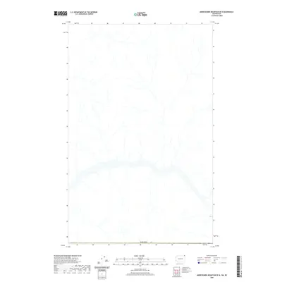
2020 Map of Abercrombie Mountain OE N
USGS Topo · Published 2020About this map
The international boundary of Canada defines the southern edge of this topographic study along the northern border of Washington State. This landscape is characterized by a dense network of mountain streams and drainage basins that feed southward from the Canadian wilderness toward the Colville National Forest region. The map captures the intricate hydrography of the high-country terrain, illustrating the natural flow of water across the border through a series of unnamed valleys and ridges. Without the presence of established roads or settlements in this specific 2020 survey area, the focus remains on the raw physical geography and the precisely surveyed geopolitical line that separates the two nations.
Find a feature on this map
1 named feature on this map. Tap any name to fly to it.
Don’t see what you’re looking for? This feature index may not catch every label — zoom into the map to look around manually.
Map Details
Editions of this 2020 Abercrombie Mountain OE N Map
This is the sole edition of this map. No revisions or reprints were ever made.
Other maps of this area

1929 · Colville
USGS Topo · 1:125,000

1933 · Colville
USGS Topo · 1:125,000

1934 · Metaline
USGS Topo · 1:125,000

1942 · Metaline
USGS Topo · 1:125,000

1952 · Leadpoint
USGS Topo · 1:24,000

1958 · Sandpoint
USGS Topo · 1:250,000

1963 · Sandpoint
USGS Topo · 1:250,000

1967 · Boundary Dam
USGS Topo · 1:24,000
1967 · Abercrombie Mtn
USGS Topo · 1:24,000
1984 · Colville
USGS Topo · 1:100,000