2010s Maps of Pend Oreille County, Washington
Explore 121 historic maps of Pend Oreille County from the 2010s. These maps offer a rare glimpse into what life looked like during the 2010s — showing old roads, neighborhoods, homes, and landmarks that have changed or disappeared over time.
Whether you're researching your family's past, planning a metal detecting trip, or studying how Pend Oreille County's landscape evolved across the 2010s, these high-resolution maps are a powerful tool for exploring the history of this region.
- Focus on a specific era: All maps on this page are from the 2010s, giving you a focused view of this time period.
- See what’s changed: Compare century-old streets, trails, and buildings to today's modern landscape using overlays and satellite layers.
- Research with precision: Use these maps for genealogy, historical research, land use analysis, or educational projects.
- View, download, or print: Maps are fully viewable online in high resolution, and can be downloaded or printed for your own records.
Start exploring Pend Oreille County's history through authentic maps from the 2010s. This is your window into the past.
Pend Oreille County, WA maps
(121)- 2011 Map of Camden, 2011 Print
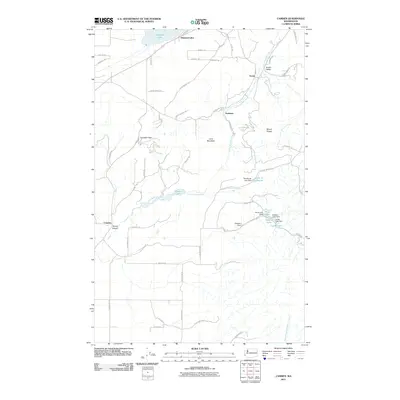 2011 Camden2011 Print · USGSPend Oreille County at the start of the 2010s reveals a landscape of quiet mountain valleys and managed water systems. Genealogists and local historians can trace family-named sites such as Grahams and Campden Gap alongside historic water features like the Camden Dam.
 - 2011 Map of Nelson Peak, 2011 Print
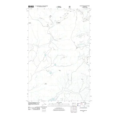 2011 Nelson Peak2011 Print · USGSIn the highlands of Stevens County during the early 2010s, this landscape is shaped by the headwaters of Cottonwood Creek and Grouse Creek. Researchers can trace old forest routes to sites like Camp Hafer, Kaniksu Ranch, and Nelson Lake.
 - 2011 Map of Browns Lake, 2011 Print
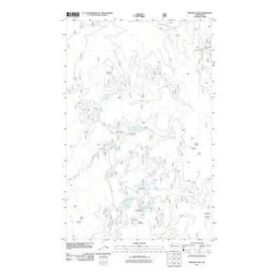 2011 Browns Lake2011 Print · USGSPend Oreille County’s high country is documented here in the early twenty-first century, showcasing a landscape of fire lookouts and mountain lakes. Researchers can trace forest management history through sites like South Baldy Lookout and Kings Mountain.
 - 2011 Map of Pass Creek, 2011 Print
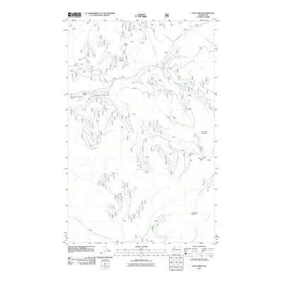 2011 Pass Creek2011 Print · USGSPend Oreille County's high country is captured here during the early twenty-first century, showing a landscape defined by timber and recreation. Researchers can locate remote landmarks like the Last Chance Cabin and campsites such as Sullivan Creek Campground Number 3.
 - 2011 Map of Goddards Peak, 2011 Print
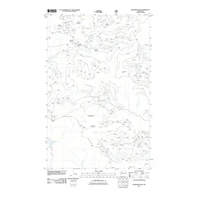 2011 Goddards Peak2011 Print · USGSIn the high-country of Stevens County during the early twenty-first century, this landscape shows the intersection of recreation and geography. Researchers can trace the slopes of Forty Nine Degrees North Ski Area and identify local landmarks like Goddards Peak and Dahlstrom Meadow.
 - 2011 Map of Skookum Creek, 2011 Print
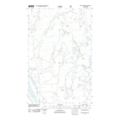 2011 Skookum Creek2011 Print · USGSThe Pend Oreille River valley meets the high ridges of the Colville National Forest in the early 2010s. Trace the network of forest roads and trails to landmarks like Iron Mount Talus Quarry, Conklin Meadow, and Bead Lake.
 - 2011 Map of Diamond Lake, 2011 Print
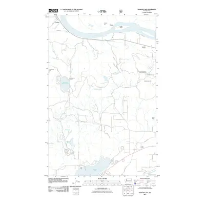 2011 Diamond Lake2011 Print · USGSPend Oreille County at the turn of the decade reveals a landscape of river-bend settlements and hidden mountain lakes. Genealogists and outdoorsmen can trace property lines and landmarks near Dalkena, Diamond Lake, and the historic grounds of Camp Cowles.
 - 2011 Map of Calispell Peak, 2011 Print
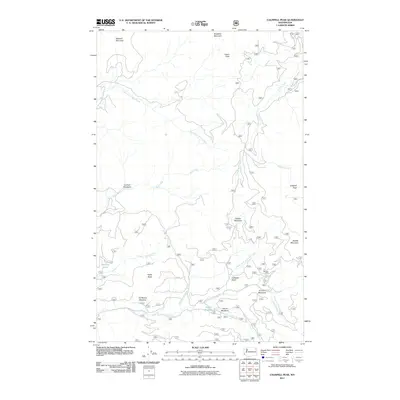 2011 Calispell Peak2011 Print · USGSHigh ridges and hidden meadows define this Stevens County landscape during the early twenty-first century. Researchers can locate the Merikay Mine or trace family-named clearings like Pal Moore Meadow and Hartill Meadows.
 - 2011 Map of Gleason Mountain, 2011 Print
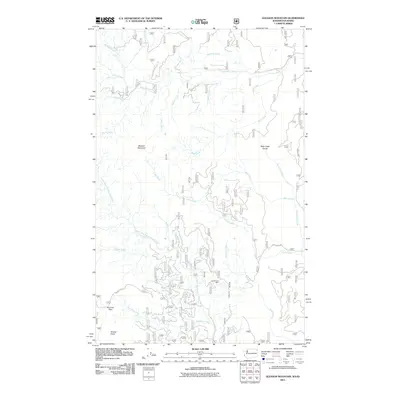 2011 Gleason Mountain2011 Print · USGSBonner County in the early twenty-first century reveals a landscape of high summits and deep drainages. Local researchers can trace old mining footprints at the Last Chance Mine or explore the geography of Bath Creek Gorge and Pyramid Pass.
 - 2011 Map of Gypsy Peak, 2011 Print
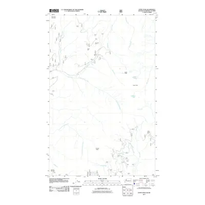 2011 Gypsy Peak2011 Print · USGSThe high Selkirk ridges at the international border are documented here in the early twenty-first century. Researchers can locate the Lead Hill Mine, the State Creek Lookout, and named backcountry sites like Bear Pasture.
 - 2011 Map of Bead Lake, 2011 Print
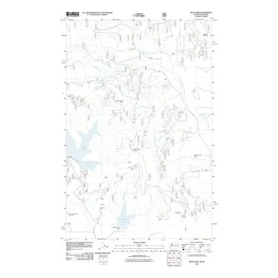 2011 Bead Lake2011 Print · USGSThe Kaniksu National Forest region near the Washington-Idaho border comes into focus in this recent study of the Priest River watershed. Researchers can trace forest roads to sites like the Lucky Joe Mine, Stone Johnny Lookout, and the Newport Geophysical Observatory.
 - 2011 Map of Boundary Dam, 2011 Print
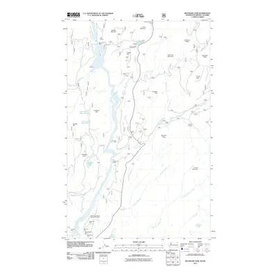 2011 Boundary Dam2011 Print · USGSThe northeastern corner of Washington at the turn of the twenty-first century reveals a landscape defined by deep river canyons and a legacy of hard-rock mining. Researchers can trace the extensive industrial footprint of the Pend Oreille Mine and Grandview Mine or locate historic landmarks like the Vista House and Pewee Falls.
 - 2011 Map of Monumental Mountain, 2011 Print
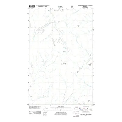 2011 Monumental Mountain2011 Print · USGSPend Oreille County is captured here in the early twenty-first century, showing the remote high-country terrain of the Selkirk region. Researchers can trace the drainage of Middle Branch Le Clerc Creek or locate landmarks like Bunchgrass Lake and the South Fork Lookout.
 - 2011 Map of Winchester Peak, 2011 Print
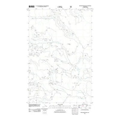 2011 Winchester Peak2011 Print · USGSPend Oreille County's high-country drainages are captured here in the early twenty-first century, showing a landscape of working forests and mountain streams. Researchers can trace land use through Danforth Quarry and follow the routes of Smalle Creek Rd and Winchester Creek Rd.
 - 2011 Map of Ione, 2011 Print
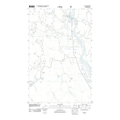 2011 Ione2011 Print · USGSThe Pend Oreille River valley is shown here in the early twenty-first century, centered on the historic timber and transit hub of Ione. Researchers can trace the riverfront development near the Ione Millpond and locate local landmarks like Riverside Cemetery or the remote Tiger Meadows.
 - 2011 Map of Aladdin Mountain, 2011 Print
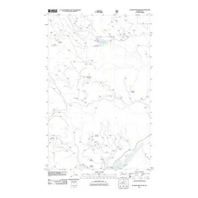 2011 Aladdin Mountain2011 Print · USGSStevens County’s high country in the early twenty-first century remains a landscape of remote resource work and outdoor retreat. Modern researchers can locate high-elevation mining sites like Middleport Mine and recreation spots such as Princess Pine Camp and Lake Thomas.
 - 2011 Map of North Baldy, 2011 Print
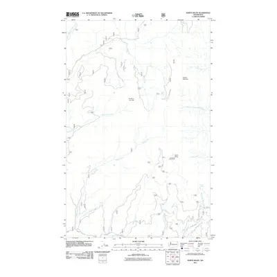 2011 North Baldy2011 Print · USGSThe high peaks of the Selkirk Mountains in Pend Oreille County are captured here during the early twenty-first century. Outdoor enthusiasts and local researchers can trace the placement of the North Baldy Lookout Tower and the remote headwaters of Middle Branch Le Clerc Creek and Upper West Branch Priest River.
 - 2011 Map of Tacoma Peak, 2011 Print
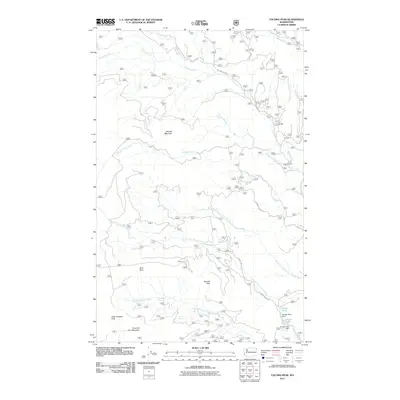 2011 Tacoma Peak2011 Print · USGSHigh ridges and forest roads dominate the Pend Oreille County backcountry during the early twenty-first century. Researchers can trace the topography and access routes surrounding Tacoma Peak, the drainage of Tacoma Creek, and infrastructure like Conger Lake Dam.
 - 2011 Map of Salmo Mountain, 2011 Print
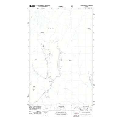 2011 Salmo Mountain2011 Print · USGSThe high backcountry of the Washington and Idaho border comes into focus in this recent survey of the northern peaks. Researchers and hikers can trace remote drainage paths along Hughes Fork and identify the specific boundaries of the Salmo Mountain Research Natural Area.
 - 2011 Map of Abercrombie Mountain, 2011 Print
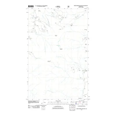 2011 Abercrombie Mountain2011 Print · USGSNortheastern Washington’s high-country terrain is captured here during the early twenty-first century, showing the intersection of forest management and mining history. Researchers can locate the Gold Hill Mine, trace the winding Frisco Standard Rd, and identify the site of the Flume Creek Reservoir Dam.
 - 2011 Map of Scotchman Lake, 2011 Print
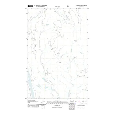 2011 Scotchman Lake2011 Print · USGSPend Oreille County's high-country terrain is documented here during the early twenty-first century. Researchers can trace forest access routes like Dry Canyon Rd to reach remote landmarks such as Dry Canyon Lookout and the secluded Deception Lake.
 - 2011 Map of Newport, 2011 Print
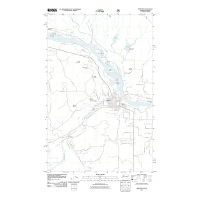 2011 Newport2011 Print · USGSThe Washington-Idaho border comes alive in this survey of the early twenty-first century, centered on the Pend Oreille River. You can trace the path of the Old Rail Road R-W and find landmarks like the Bodie Canyon Mine and Oldtown.
 - 2011 Map of Metaline, 2011 Print
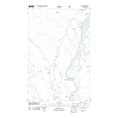 2011 Metaline2011 Print · USGSPend Oreille County at the start of the 2010s was a landscape where heavy industry and hydroelectric power met the high wilderness. Researchers can trace the legacy of mineral extraction at the Oriole Mine or locate early family burial sites at Perkins Cemetery.
 - 2011 Map of Fan Lake, 2011 Print
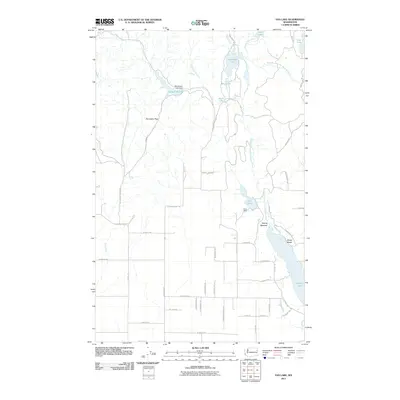 2011 Fan Lake2011 Print · USGSSpokane County's lake-strewn northern landscape is documented here during a period of steady residential and recreational growth. Trace the river-fed chain from Fan Lake to Eloika Lake, locating local landmarks like Camp Reed and the settlement at Sandy Beach.
 - 2011 Map of Tweedie, 2011 Print
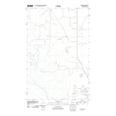 2011 Tweedie2011 Print · USGSThe Washington-Idaho borderlands near Tweedie are captured here as they appeared just after the first decade of the millennium. Local researchers can trace rural developments and water systems around Lake San Souci, Blanchard Valley, and Spring Valley.
Showing maps 1-25 of 121
Top cities of Pend Oreille County
- Newport historical maps
- Ione historical maps
- Metaline Falls historical maps
- Cusick historical maps
- Metaline historical maps
Frequently asked questions
- What are the different types of historical maps available for Pend Oreille County?
- What is the oldest map of Pend Oreille County?
- Where can I purchase historical maps of Pend Oreille County for my home or office?
- Where can I download high-res historical maps of Pend Oreille County?
- Are there historical topographic maps available for Pend Oreille County?
- Is there historical aerial imagery available for Pend Oreille County?
- Where are historical maps of Pend Oreille County sourced from?