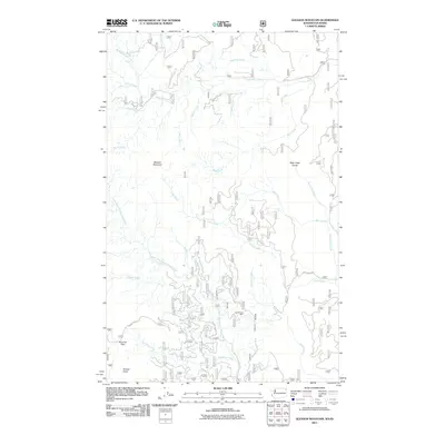
2011 Map of Gleason Mountain
USGS Topo · Published 2011About this map
Gleason Mountain anchors a landscape defined by an intricate network of drainages in Bonner County. The terrain is bisected by the Upper West Branch Priest River, which collects water from numerous named tributaries including Kalispell Creek, Lamb Creek, and Binarch Creek. Evidence of resource extraction is found at the Last Chance Mine, situated in the southern portion of the quadrangle. The map highlights significant elevation features and pass points like Pyramid Pass and Grouse Knob, alongside natural landmarks such as Kalispell Falls and the deep incision of Bath Creek Gorge. This 2011 survey reveals a territory mostly accessed by forest service roads and established routes like Squaw Valley Rd and Lamb Creek Rd, documenting the contemporary state of this Idaho backcountry.
Find a feature on this map
27 named features on this map. Tap any name to fly to it.
Don’t see what you’re looking for? This feature index may not catch every label — zoom into the map to look around manually.
Map Details
Editions of this 2011 Gleason Mountain Map
This is the sole edition of this map. No revisions or reprints were ever made.
Other maps of this area

1901 · Sandpoint
USGS Topo · 1:125,000

1911 · Priest Lake
USGS Topo · 1:250,000

1911 · Sandpoint
USGS Topo · 1:125,000

1913 · Priest Lake
USGS Topo · 1:250,000

1934 · Metaline
USGS Topo · 1:125,000

1936 · Newport
USGS Topo · 1:96,000

1942 · Metaline
USGS Topo · 1:125,000

1942 · Newport
USGS Topo · 1:125,000

1958 · Sandpoint
USGS Topo · 1:250,000

1963 · Sandpoint
USGS Topo · 1:250,000