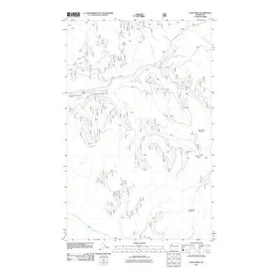
2011 Map of Pass Creek
USGS Topo · Published 2011About this map
Sullivan Creek Rd serves as the primary artery through this high-altitude landscape in Pend Oreille County, following the winding path of Sullivan Creek. The map documents a rugged drainage network defined by steep gulches like Totem Gulch and Conto Gulch, where several forest campgrounds, including Sullivan Creek Campground Number 2 and Sullivan Creek Campground Number 3, are located. Significant peaks such as Round Top Mountain and Grassy Top Mountain overlook the various forks of North Fork Granite Creek and Harvey Creek. A notable point of historical and navigational interest is the Last Chance Cabin, situated near the crossing at Pass Creek Pass. This 2011 survey reflects the modern management of these public lands, showing the network of service roads and trails that connect the remote basins of Queen Creek and Jack Creek.
Find a feature on this map
34 named features on this map. Tap any name to fly to it.
Don’t see what you’re looking for? This feature index may not catch every label — zoom into the map to look around manually.
Map Details
Editions of this 2011 Pass Creek Map
This is the sole edition of this map. No revisions or reprints were ever made.
Other maps of this area

1934 · Metaline
USGS Topo · 1:125,000

1942 · Metaline
USGS Topo · 1:125,000

1958 · Sandpoint
USGS Topo · 1:250,000

1963 · Sandpoint
USGS Topo · 1:250,000

1967 · Gypsy Peak
USGS Topo · 1:24,000

1967 · Scotchman Lake
USGS Topo · 1:24,000

1967 · Boundary Dam
USGS Topo · 1:24,000

1967 · Salmo Mtn.
USGS Topo · 1:24,000

1967 · Metaline Falls
USGS Topo · 1:24,000

1967 · Monumental Mtn.
USGS Topo · 1:24,000