
1967 Map of Scotchman Lake
USGS Topo · Published 1971About this map
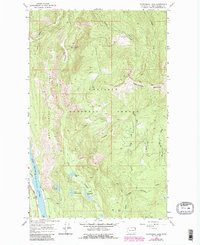
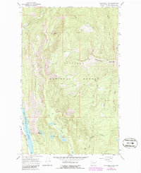
Pend Oreille River frontage and the high-elevation terrain of Colville National Forest characterize this late 1960s survey of the Washington wilderness. The southwestern corner is dominated by the industrial and transport corridor of the Chicago Milwaukee St Paul and Pacific railroad, which runs parallel to the river near a local Gravel Pit. Moving inland, the landscape rises toward Coyote Hill and Molybdenum Mountain, revealing a network of primitive Jeep Trails and a Pack Trail that provide access to remote water bodies like Scotchman Lake, Little Anderson Lake, and Caldwell Lake. The complex drainage system includes the West Branch Le Clerc Creek and the culturally named White Man Creek and Red Man Creek, reflecting the era's land-management focus on the high timber and mineral prospects of the Pacific Northwest.
Find a feature on this map
30 named features on this map. Tap any name to fly to it.
Don’t see what you’re looking for? This feature index may not catch every label — zoom into the map to look around manually.
Map Details
Editions of this 1967 Scotchman Lake Map
3 editions found
Other maps of this area

1934 · Metaline
USGS Topo · 1:125,000

1942 · Metaline
USGS Topo · 1:125,000

1958 · Sandpoint
USGS Topo · 1:250,000

1963 · Sandpoint
USGS Topo · 1:250,000

1967 · Timber Mtn.
USGS Topo · 1:24,000

1967 · Ione
USGS Topo · 1:24,000

1967 · Metaline
USGS Topo · 1:24,000

1967 · Metaline Falls
USGS Topo · 1:24,000

1967 · Monumental Mtn.
USGS Topo · 1:24,000

1967 · Pass Creek
USGS Topo · 1:24,000