
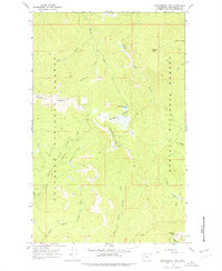
1967 Map of Monumental Mtn.
USGS Topo · Published 1971About this map
Bunchgrass Meadows and the high peaks of the Selkirk Mountains define this area of northeastern Washington during the late 1960s. Situated along the boundary of Colville National Forest and Kaniksu National Forest, the landscape is a network of alpine basins and creek drainages. The map traces the headwaters of numerous streams, including Harvey Creek, Onota Creek, and the many branches of Le Clerc Creek, which carve through the high-elevation terrain near Monumental Mtn and Molybdenum Mountain.
Find a feature on this map
25 named features on this map. Tap any name to fly to it.
Don’t see what you’re looking for? This feature index may not catch every label — zoom into the map to look around manually.
Map Details
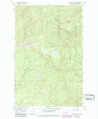
Editions of this 1967 Monumental Mtn. Map
3 editions found
Other maps of this area

1934 · Metaline
USGS Topo · 1:125,000

1942 · Metaline
USGS Topo · 1:125,000

1958 · Sandpoint
USGS Topo · 1:250,000

1963 · Sandpoint
USGS Topo · 1:250,000

1967 · Scotchman Lake
USGS Topo · 1:24,000

1967 · Metaline Falls
USGS Topo · 1:24,000

1967 · Helmer Mtn
USGS Topo · 1:24,000

1967 · Pass Creek
USGS Topo · 1:24,000
1967 · Orwig Hump
USGS Topo · 1:24,000
1967 · North Baldy
USGS Topo · 1:24,000