
1967 Map of Helmer Mtn
USGS Topo · Published 1971About this map
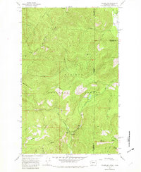
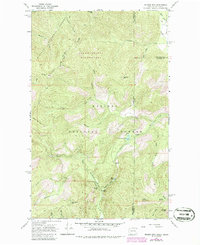
Roosevelt Grove of Ancient Cedars serves as a prominent landmark in this 1967 survey of the high country straddling the Washington and Idaho border. The terrain is defined by the intersection of the Colville National Forest and Kaniksu National Forest, where steep ridgelines connect summits like Helmer Mountain and Jackson Mtn. Drainage patterns are intricate, with Gold Creek and Hemlock Creek carving deep valleys toward the Hughes Fork of the Priest River. Evidence of early backcountry access is visible through the extensive network of routes, including the Thunder Creek Trail and various pack trails used for forest management. Notable natural features such as Granite Falls, the narrow Packrat Gorge, and Muskegon Lake highlight the diverse topography of the Selkirk Mountains. The map also identifies the Stagger Inn Campground, a key waypoint for those navigating the high-elevation reaches of Pend Oreille and Bonner counties.
Find a feature on this map
46 named features on this map. Tap any name to fly to it.
Don’t see what you’re looking for? This feature index may not catch every label — zoom into the map to look around manually.
Map Details
Editions of this 1967 Helmer Mtn Map
Other maps of this area

1911 · Priest Lake
USGS Topo · 1:250,000

1913 · Priest Lake
USGS Topo · 1:250,000

1934 · Metaline
USGS Topo · 1:125,000

1942 · Metaline
USGS Topo · 1:125,000

1958 · Sandpoint
USGS Topo · 1:250,000

1963 · Sandpoint
USGS Topo · 1:250,000

1967 · Gypsy Peak
USGS Topo · 1:24,000

1967 · Salmo Mtn.
USGS Topo · 1:24,000

1967 · Priest Lake NW
USGS Topo · 1:24,000

1967 · Monumental Mtn.
USGS Topo · 1:24,000