
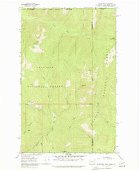
1967 Map of Salmo Mtn.
USGS Topo · Published 1971About this map
Salmo Mountain stands as a prominent high point in this remote northern frontier, where the Colville National Forest meets the Kaniksu National Forest along the international border. A Lookout Tower marks the summit of Salmo Mountain, overlooking a landscape defined by steep drainages and several high peaks including Shedroof Mtn, Leola Peak, and Prouty Peak. The topography is documented via intricate contouring that captures the sharp relief of the Selkirk Mountains region.
Find a feature on this map
29 named features on this map. Tap any name to fly to it.
Don’t see what you’re looking for? This feature index may not catch every label — zoom into the map to look around manually.
Map Details
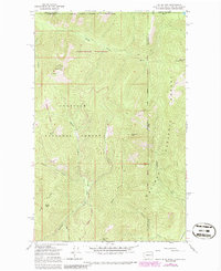
Editions of this 1967 Salmo Mtn. Map
3 editions found
Other maps of this area

1911 · Priest Lake
USGS Topo · 1:250,000

1913 · Priest Lake
USGS Topo · 1:250,000

1934 · Metaline
USGS Topo · 1:125,000

1942 · Metaline
USGS Topo · 1:125,000

1958 · Sandpoint
USGS Topo · 1:250,000

1963 · Sandpoint
USGS Topo · 1:250,000

1967 · Gypsy Peak
USGS Topo · 1:24,000

1967 · Helmer Mtn
USGS Topo · 1:24,000

1967 · Pass Creek
USGS Topo · 1:24,000
1968 · Continental Mtn
USGS Topo · 1:24,000