
1967 Map of Metaline Falls
USGS Topo · Published 1971About this map
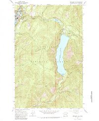
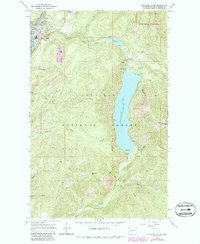
Metaline Falls serves as the industrial and civic anchor of this 1967 survey, where the Pend Oreille River is harnessed by a Powerplant and Gaging Station. The landscape reflects a specialized mountain economy, marked by an Aerial Tramway and several industrial sites like the Grandview Mine and various quarries near Grandview Flats. Further east, the Colville National Forest dominates the terrain, centering on the massive Sullivan Lake and its associated recreation and infrastructure, including the Sullivan Lake Ranger Station and a remote Landing Strip. Local genealogy is anchored by the IOOF Cem near the small settlement of Pocahontas, while the southern reaches show scattered development at Maitlen along Paupac Creek. The map documents a rugged Pend Oreille County landscape where resource extraction, hydroelectric power, and national forest management intersect.
Find a feature on this map
44 named features on this map. Tap any name to fly to it.
Don’t see what you’re looking for? This feature index may not catch every label — zoom into the map to look around manually.
Map Details
Editions of this 1967 Metaline Falls Map
3 editions found
Other maps of this area

1934 · Metaline
USGS Topo · 1:125,000

1942 · Metaline
USGS Topo · 1:125,000

1958 · Sandpoint
USGS Topo · 1:250,000

1963 · Sandpoint
USGS Topo · 1:250,000

1967 · Gypsy Peak
USGS Topo · 1:24,000

1967 · Ione
USGS Topo · 1:24,000

1967 · Scotchman Lake
USGS Topo · 1:24,000

1967 · Boundary Dam
USGS Topo · 1:24,000

1967 · Metaline
USGS Topo · 1:24,000

1967 · Monumental Mtn.
USGS Topo · 1:24,000