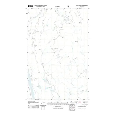
2011 Map of Scotchman Lake
USGS Topo · Published 2011About this map
Dry Canyon Lookout stands as a prominent point of interest on this high-elevation terrain in Pend Oreille County. The landscape is defined by a dense network of water bodies and drainages, including Scotchman Lake, Little Anderson Lake, and Anderson Lake clustered in the southern portion of the quadrangle. Steep topographic variations are anchored by significant landmarks such as Molybdenite Mountain to the east and the long stretch of Dry Canyon Ridge to the west.
Find a feature on this map
22 named features on this map. Tap any name to fly to it.
Don’t see what you’re looking for? This feature index may not catch every label — zoom into the map to look around manually.
Map Details
Editions of this 2011 Scotchman Lake Map
This is the sole edition of this map. No revisions or reprints were ever made.
Other maps of this area

1934 · Metaline
USGS Topo · 1:125,000

1942 · Metaline
USGS Topo · 1:125,000

1958 · Sandpoint
USGS Topo · 1:250,000

1963 · Sandpoint
USGS Topo · 1:250,000

1967 · Timber Mtn.
USGS Topo · 1:24,000

1967 · Ione
USGS Topo · 1:24,000

1967 · Scotchman Lake
USGS Topo · 1:24,000

1967 · Metaline
USGS Topo · 1:24,000

1967 · Metaline Falls
USGS Topo · 1:24,000

1967 · Monumental Mtn.
USGS Topo · 1:24,000